Viewing entries in
Road Trip

Comment

Big Table Ranch Near Coulterville

After my wonderful time in Yosemite back in June 2021, I drove 28 miles west to meet some amazing ladies who created a wonderful community space and venue near the historic Goldrush town of Coulterville. Nestled in the Sierra Foothills on 35 acres of open meadows, Big Table Ranch features hiking trails, a gorgeous pool and lounging area, and a guest house they rent out through Airbnb, plus various cool rustic structures and hidden treasures. The location is also near McClure Lake and Don Pedro, making it a great spot to stay if you're into boating and water sports. Owners Kim Brisack & Dawn Huston bought this property in 2015 and with some hard work and a vision, they nurtured the land and buildings to make it an incredible place for gatherings of all kind, creating community around a big table. Their motto is "when you have more than you need, build a bigger table" and they truly mean it!

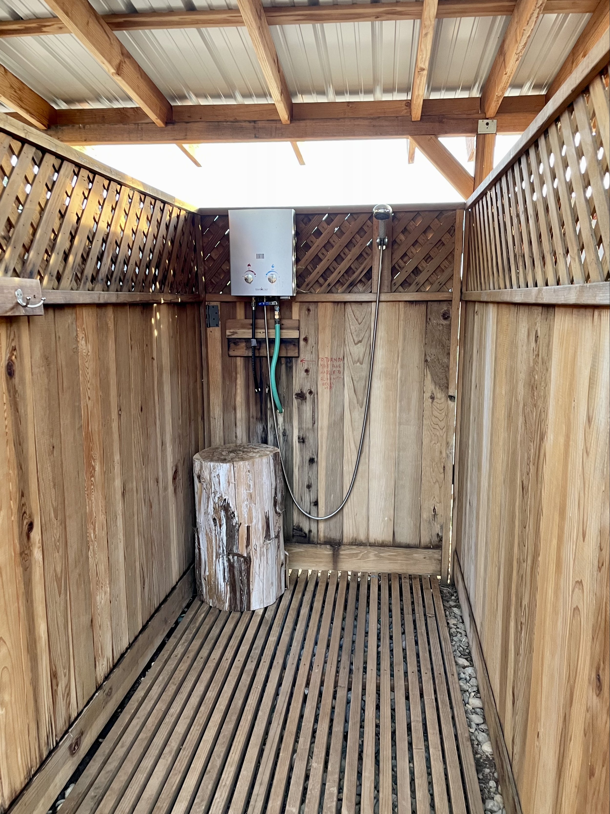
My vanlife friend Bex told me about their ranch while we were at Descend on Bend in 2019 because I was looking for private land to host a California vanlife gathering, so I contacted them and they were more than happy to have me visit to see their space and discuss what they offer. Kim and Dawn welcomed me with open arms, showed me around the property, and even invited me to join them for dinner. After choosing a shady spot for my van at top of the big open field under a tree, I took an amazing shower in one of their super cool and private shower stalls, and then headed to their house to hang out with my magnanimous hosts and some of their friends who were also visiting.

Their home (known as the Big House) is a spacious barn-style building with an open floor plan, high ceilings, a big wooden table, lounge chairs and couches, and a large kitchen. Sadly I didn’t take any photos as I was busy socializing with my new friends. We talked and enjoyed appetizers on their lovely porch watching the sunset over the hills, followed by a potluck dinner that was delicious! The generosity, inclusivity, and sense of community my hosts graciously provide is truly magical and I went to sleep in my van feeling fulfilled with a sense of belonging you don’t often find. I was only there for the one night, but I can see how this ranch is a great location for any kind of event, weddings, hiking, swimming and relaxing — Kim and Dawn really have created a special place full of love and hospitality! I never did end up creating my California vanlife gathering, but I will never forget that evening and am so grateful for meeting these incredible humans and getting to experience what Big Table Ranch offers!

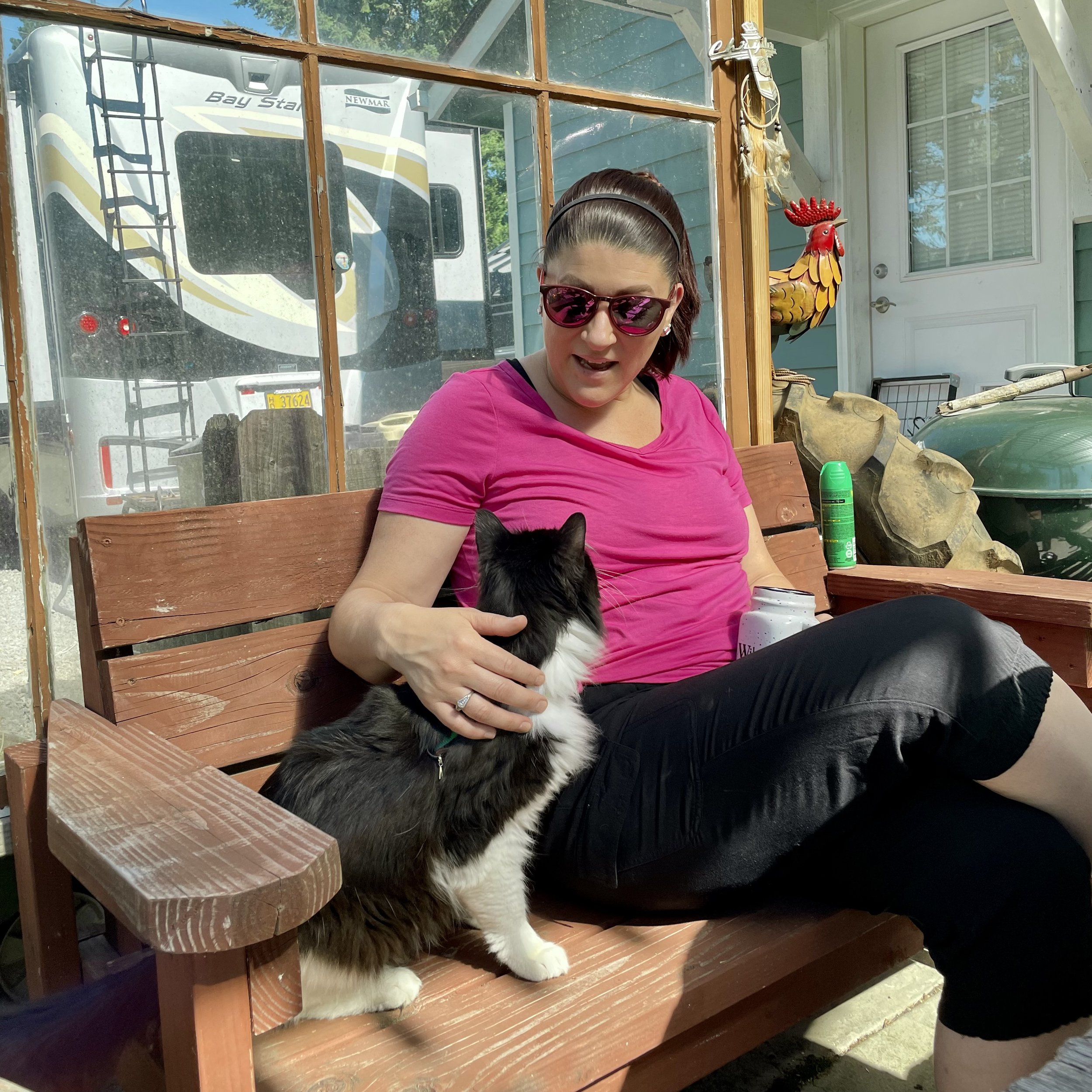
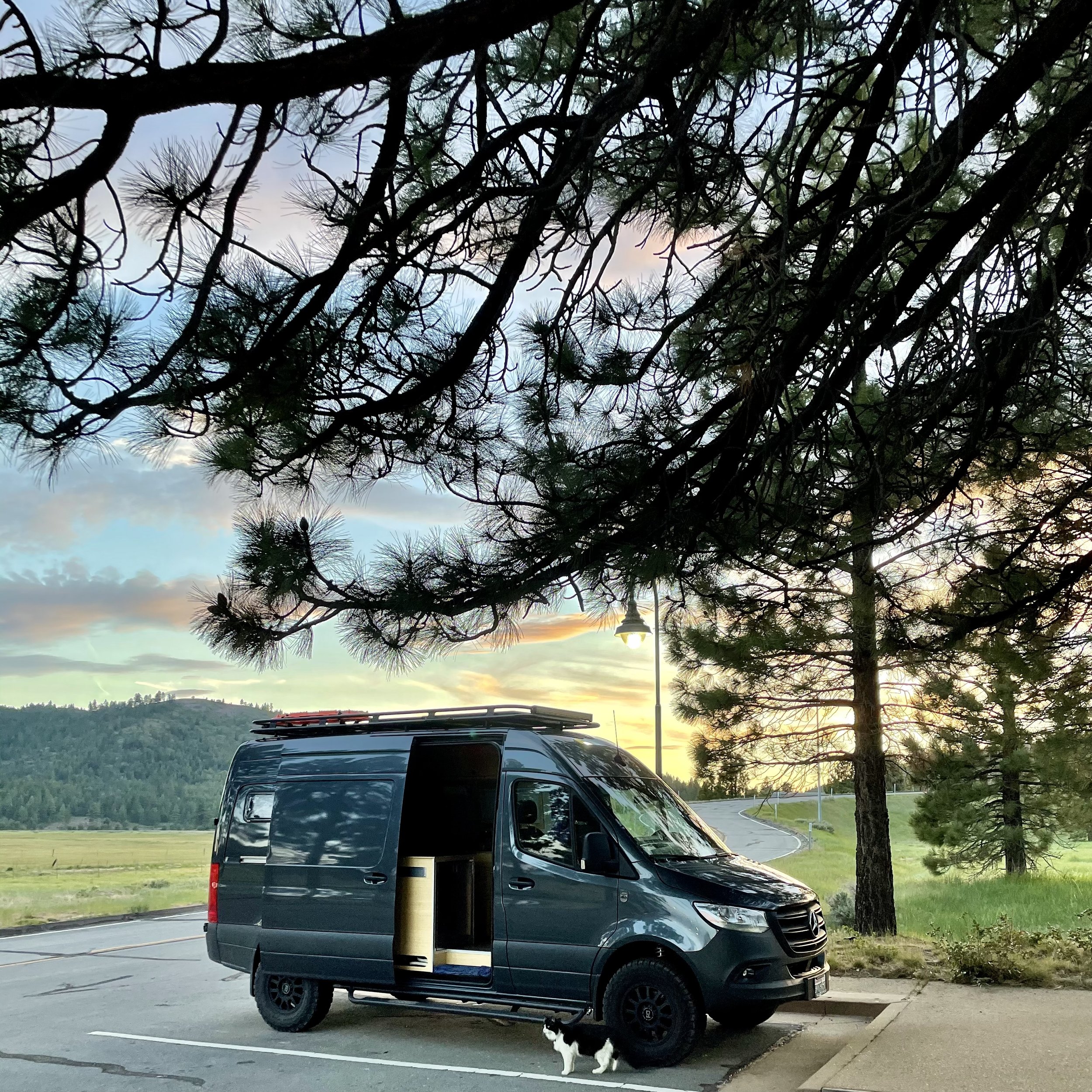
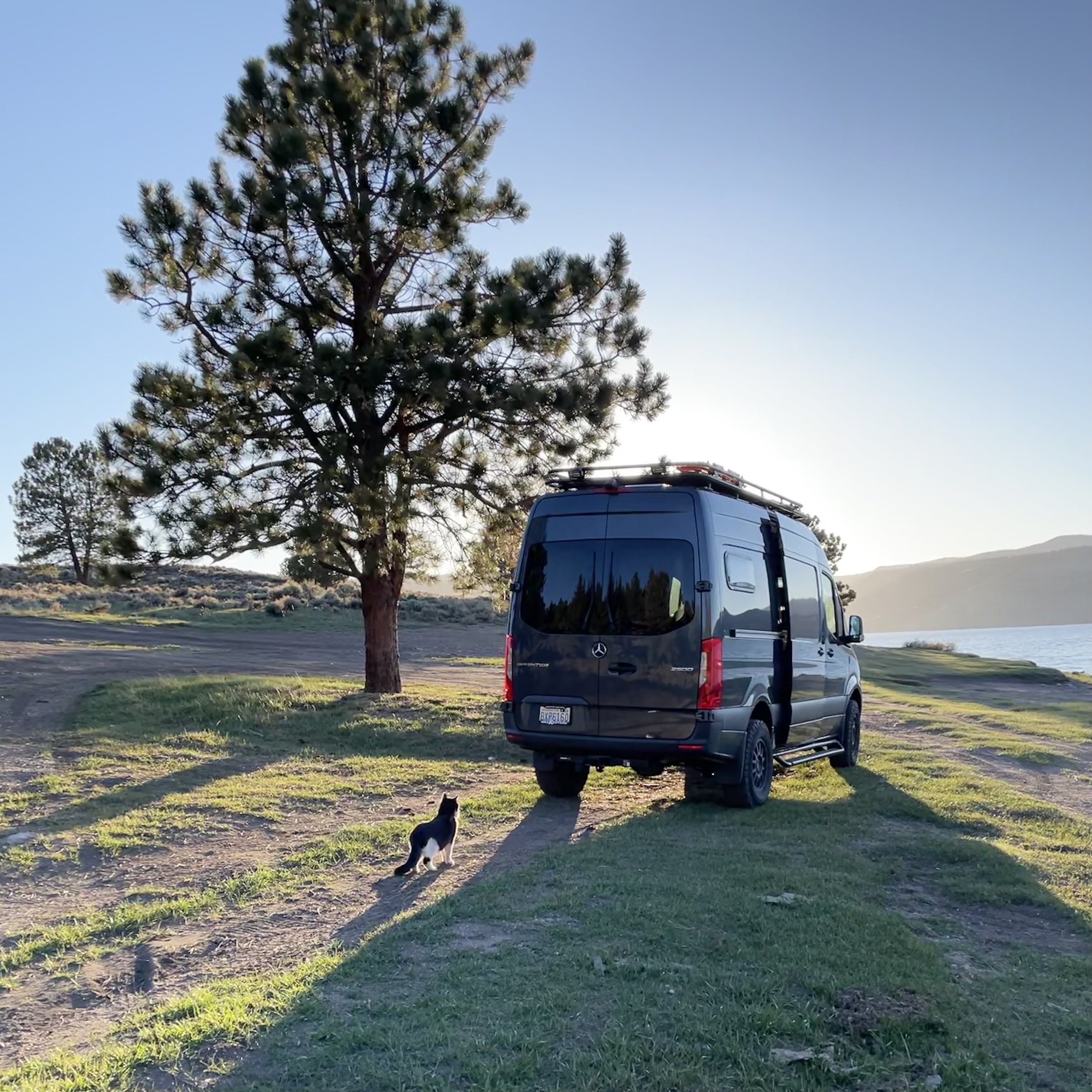
Even my cat Maverick approved, having the best time climbing in the big trees that my van was camped under!

Comment

Comment

My Visit To Yosemite

While I was in California celebrating my Golden Birthday in 2021, I had the opportunity to visit Yosemite National Park for the day and then head to an amazing event venue in the Sierra Foothills that a vanlife friend told me about a few years earlier.

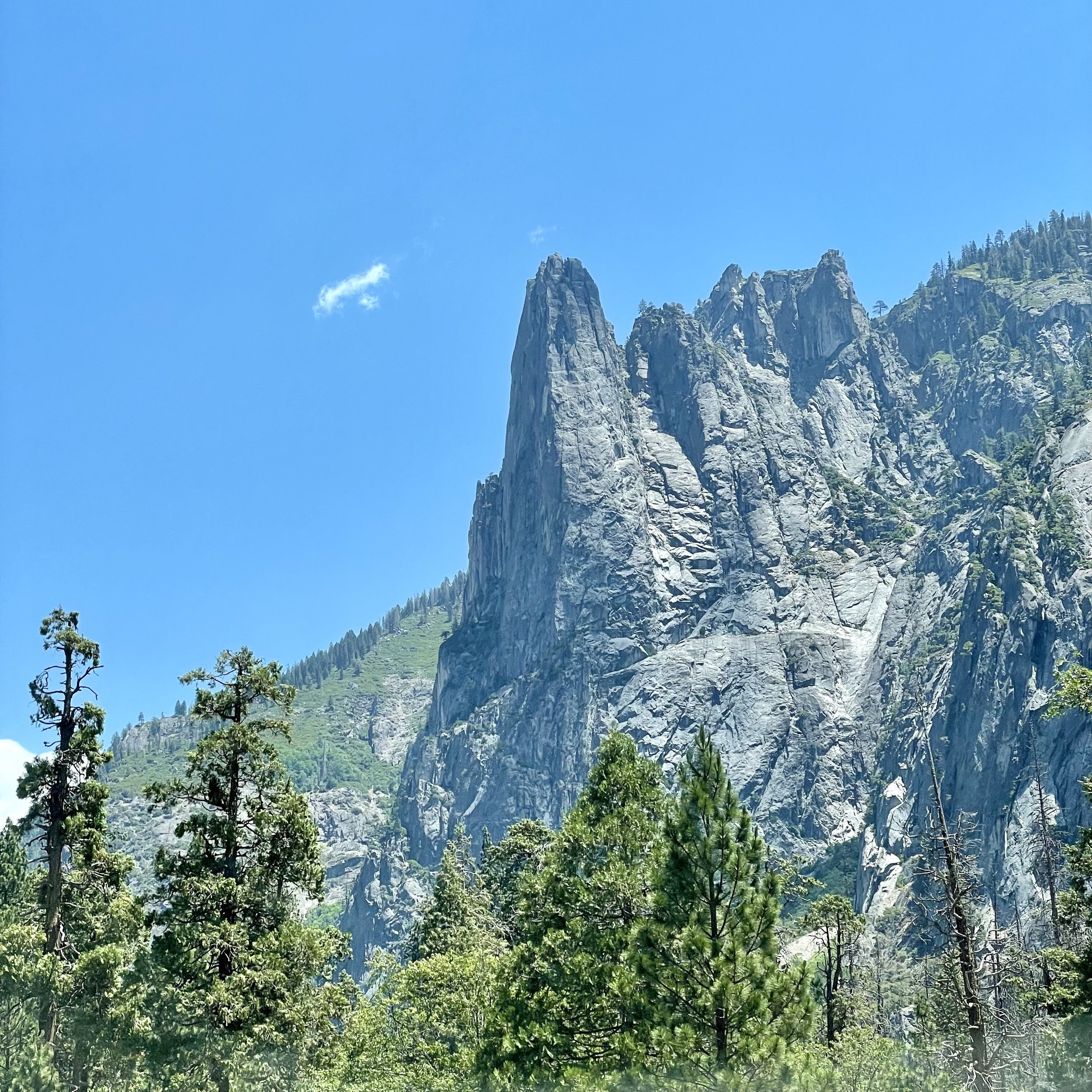
I left Pinecrest on June 28 and drove two hours to Yosemite National Park, which I haven’t been to since I was in high school. It was a beautiful and sunny day and I enjoyed the views along California SR-120 on my drive, also known as Tioga Pass. Since I always get the America Is Beautiful National Parks Pass every year, I was able to secure a day pass for Yosemite as the park does require reservations from April to October. Driving into Yosemite Valley, a glacier carved valley in the western Sierra Nevada mountain range, you promptly get surrounded by towering granite summits and a dense forest of pines, with well-known landmarks gracing your vision. The valley is drained by the Merced River and a multitude of streams and waterfalls flow into it, including Tenaya, Illilouette, Yosemite and Bridalveil Creeks. I took my time driving around the loop through the valley, stopping at various spots to immerse myself in the spectacular views.

Upon entering the valley, you immediately get hit by undeniable presence of El Capitan, a granite monolith that's about 3,000 feet (914 m) from base to summit along its tallest face. El Capitan is composed almost entirely of a pale, coarse-grained granite approximately 100 MYA (million years old) and is a world-famous location for big wall climbing, including the disciplines of aid climbing, free climbing, and more recently for free solo climbing. El Capitán ("the captain", "the chief") was taken to be a loose Spanish translation of the local Native American name for the cliff,.“

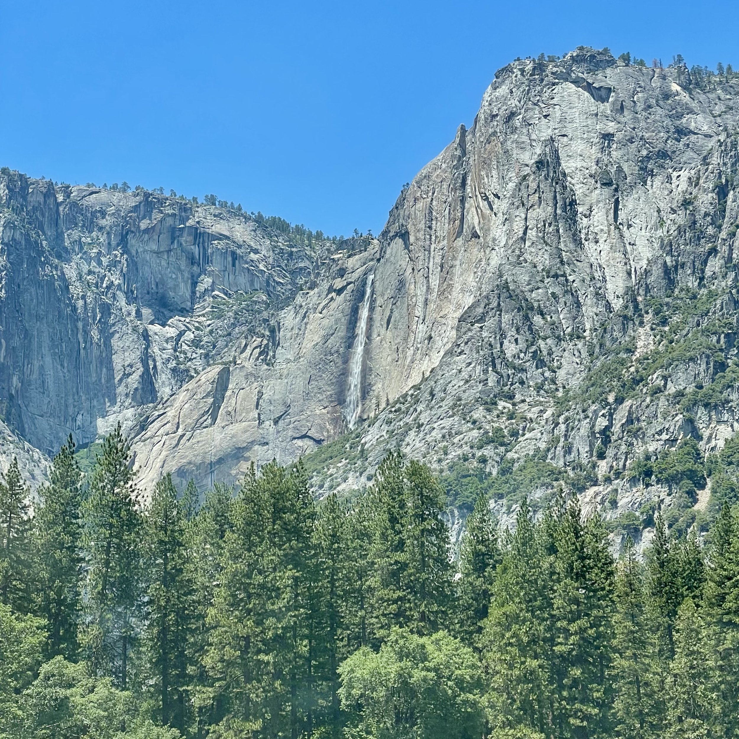
My next incredible view was of Yosemite Falls, the highest waterfall in North America, dropping a total of 2,425 feet (739 m) from the top of the upper fall to the base of the lower fall. Yosemite Falls is actually made up of three separate falls: Upper Yosemite Fall (1,430 feet), the Middle Cascades (675 feet), and Lower Yosemite Fall (320 feet). When I was 15, I hiked the falls to the halfway point with my high school adventure club. I’m not in hiking shape anymore, so I enjoyed the view from the valley floor, happy that the water flow is at its peak in the Spring. The Ahwahneechee people, the native people of Yosemite Valley, called the waterfall "Cholock" ("the fall") and believed that the plunge pool at its base was inhabited by the spirits of several witches, called the "Poloti.

At the end of the valley loop is the famed rock formation of Half Dome, a batholith named for its distinct shape. One side is a sheer face while the other three sides are smooth and round, making it appear like a dome cut in half. It stands at nearly 8,800 feet above sea level and is composed of quartz monzonite, an igneous rock that solidified several thousand feet within the Earth. At its core are the remains of a magma chamber that cooled slowly and crystallized beneath the Earth's surface, which was then exposed and cut in half by erosion, leading to its current shape. Originally named “Tis-sa-ack,” an Ahwahnechee phrase for Cleft Rock, Half Dome has been the home to many famous ascents, including the first known ascent by George Anderson in 1875, who drilled holes into the smooth granite to scale the rock’s face.

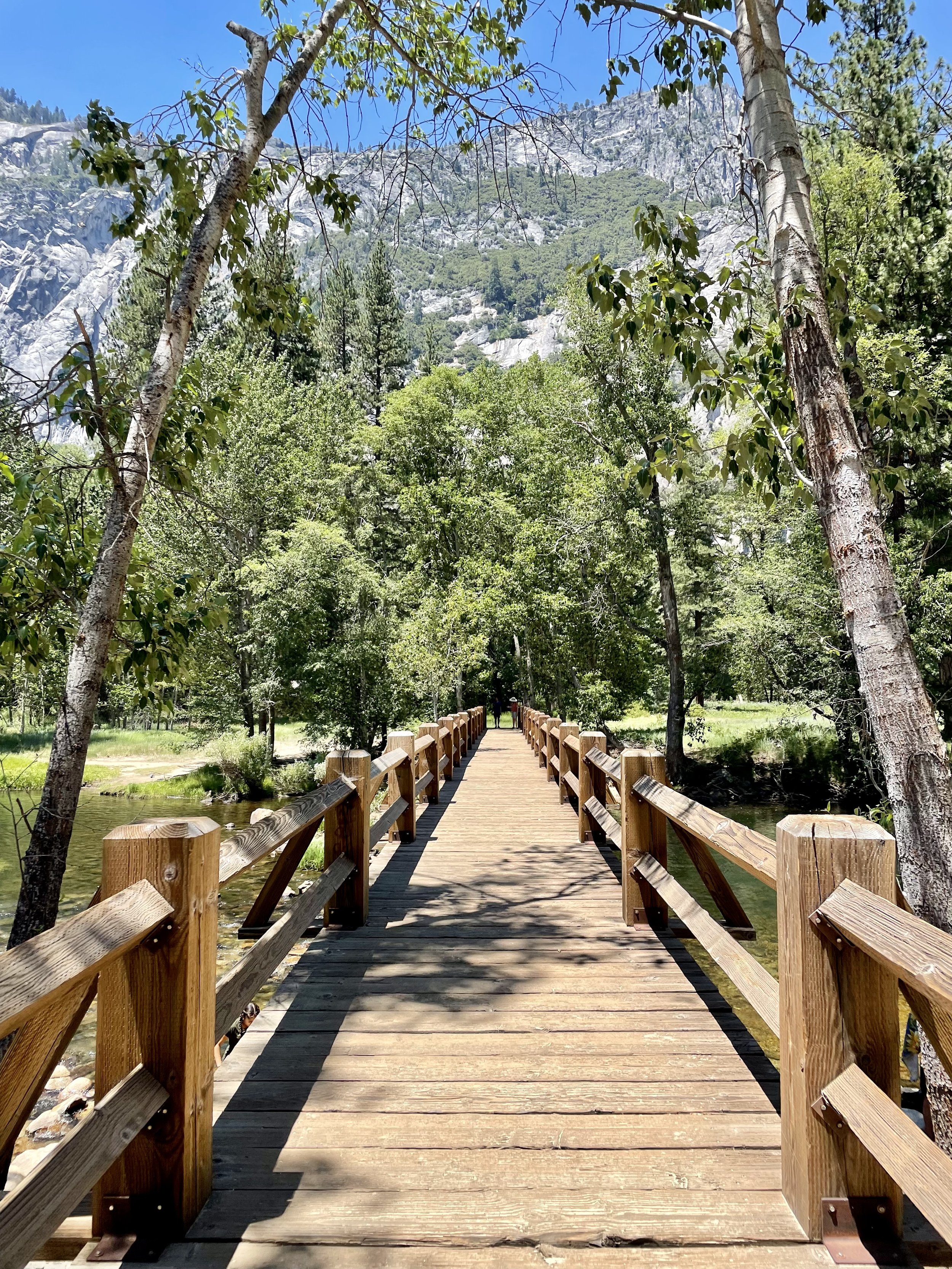
It was such a beautiful day that I made a few stops along the Merced River to walk the trail. The Merced River first formed as the Sierra Nevada rose about 10 million years ago, and sediment eroded from its canyon helped form the flat floor of the San Joaquin Valley. Glaciation during the ice ages carved the high elevation parts of the watershed, including Yosemite Valley, into their present shape. Many Native American tribes have lived on the Merced River including the Miwok, Paiute, and Ahwahneechee. In the early 19th century, military expeditions sent by Spanish colonists from coastal California traveled into the Central Valley, and on one of these trips, headed by lieutenant Gabriel Moraga, the colonists arrived on the south bank of the Merced River thirsty and low on provisions. They named the river Rio de Nuestra Señora de la Merced (River of Our Lady of Mercy) because it provided much needed water. I definitely recommend walking around, checking out the Superintendent's Bridge, the Sentinel Bridge, and other bridges to take in all the views, and even taking a dip into the river while you’re visiting.

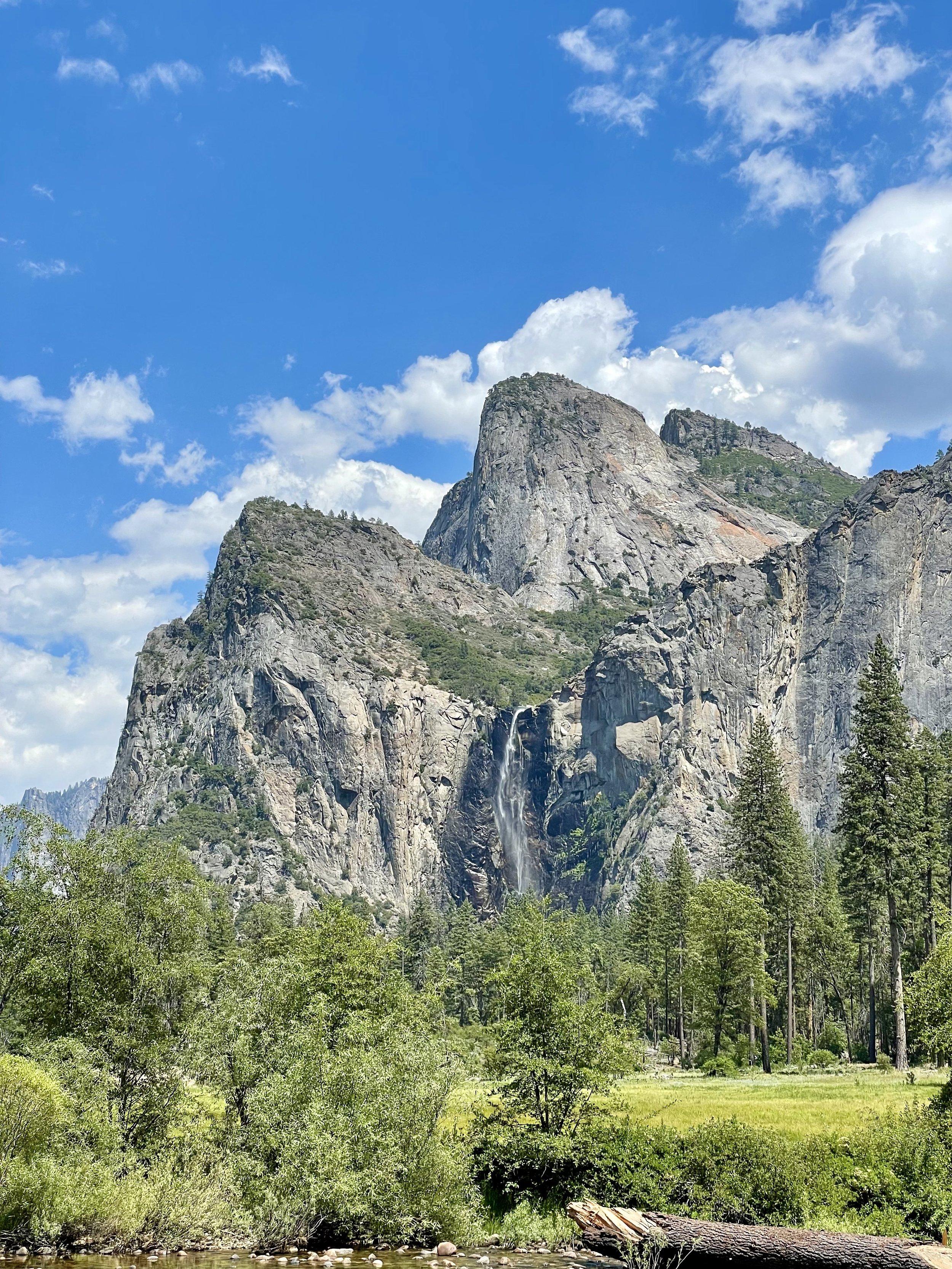
Another unforgettable view is that of Bridalveil Fall, which is 617 ft (188 m) in height and flows year round. While most of the falls in Yosemite are spawned by the glacier carved hanging valleys pouring the waterways into steep cascades, the primary source of Bridalveil Fall is Ostrander Lake, some 9.9 miles (16 km) to the south. In a brisk wind, the falling water is often blown sideways, and when the flow is light, it may not reach the ground directly below. Because of this, the Ahwahneechee Native Americans called this waterfall "Pohono", which means "Spirit of the Puffing Wind". As you can see in my photos, the wind definitely blew the top of the fall like a fan while the rest cascaded down the rocks to the bottom.

Since I entered the park through the north entrance, I didn’t experience the spectacular Tunnel View until I worked my way out on the south end, stopping at the vista point east of the Wawona Tunnel portal. The area was full of tourists taking in the view that Ansel Adams made famous. Luckily I found a parking spot and joined my fellow sightseers in capturing this unforgettable view of Yosemite Valley that features the southwest face of El Capitan on the left, Half Dome on axis, and Bridalveil Fall on the right.

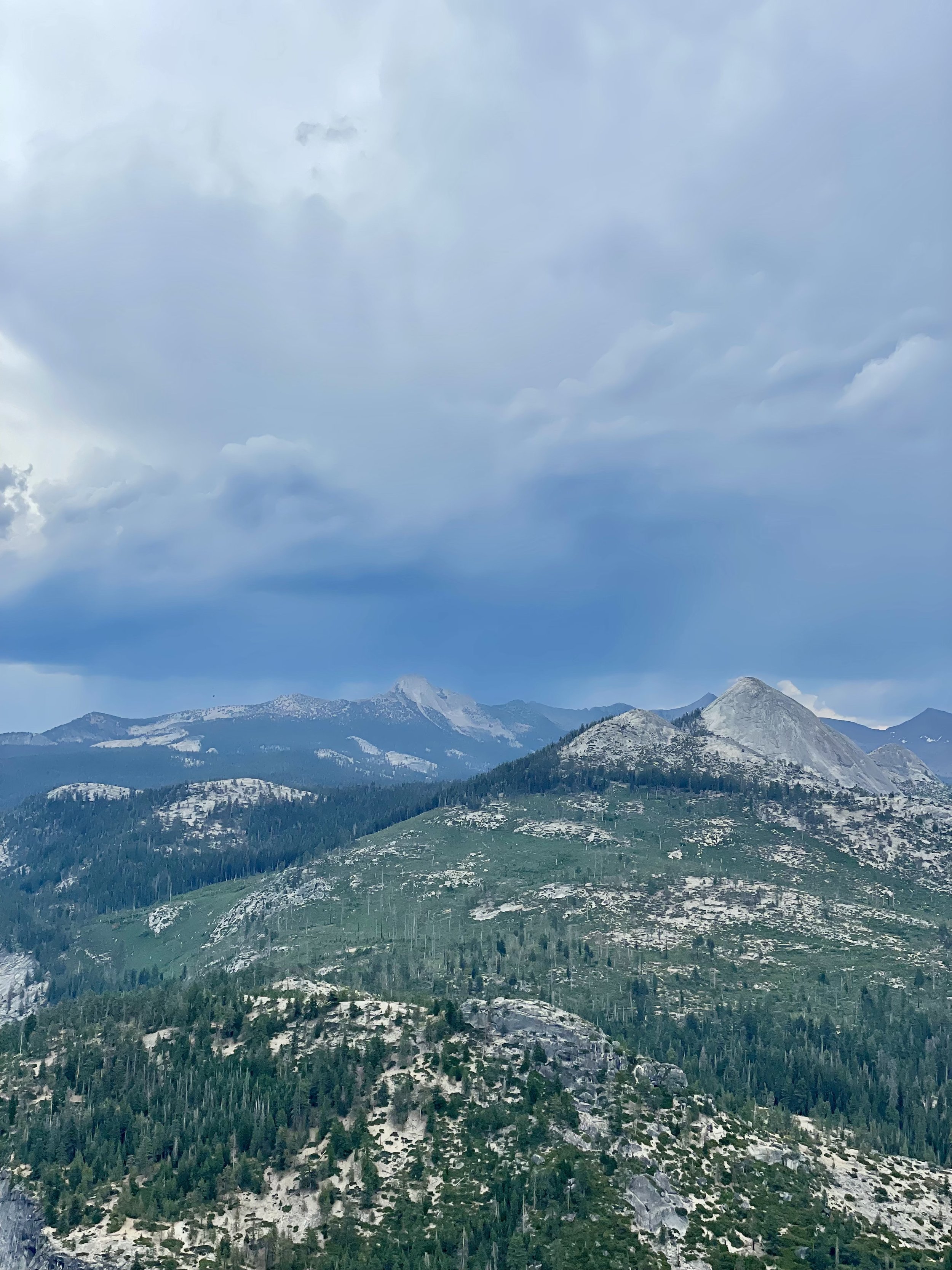
Next up was driving up the south wall to check out the overlooks with commanding views of the valley below via Glacier Point Road. My first stop was Washburn Point where one has the perfect side angle view of Half Dome, without seeing any of its face, as well as the stunning view of the “giant staircase,” the cliff wall containing Nevada Fall and Vernal Fall, with Mount Broderick and Liberty Cap watching over the falls. The afternoon clouds were turning a bit moody in shades blue and gray, lending an ominous feel to the landscape, with hints of sunny clouds in the distance. It almost felt like there was a storm brewing, casting a shadow over the panoramic view.

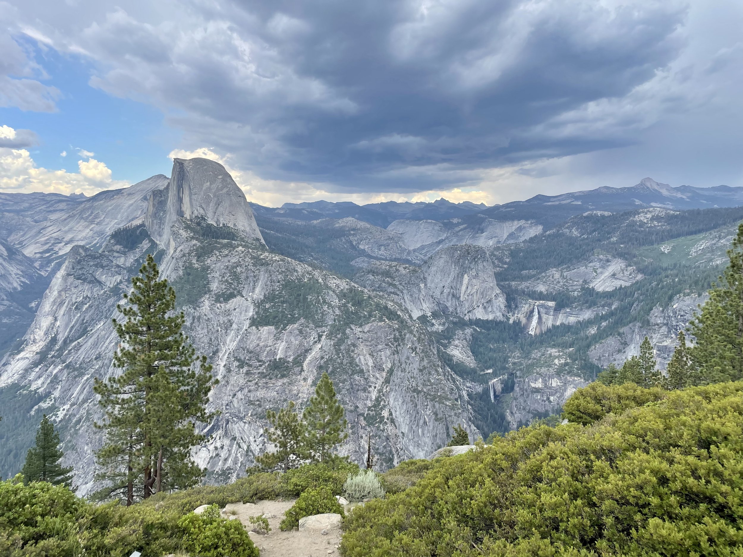
Then I headed to Glacier Point, a world-renowned overlook that gives visitors a grand view of the valley from above and a captivating vista of the park's southeastern high peaks. Glacier Point is located on the south wall of Yosemite Valley at an elevation of 7,214 feet (2,199 m). I recommend walking the whole viewpoint to get different glimpses of all the sights, including a more angled view of Half Dome with its face, as well as the giant staircase of falls, and Clouds Rest, a massive granite formation just northeast of Half Dome.

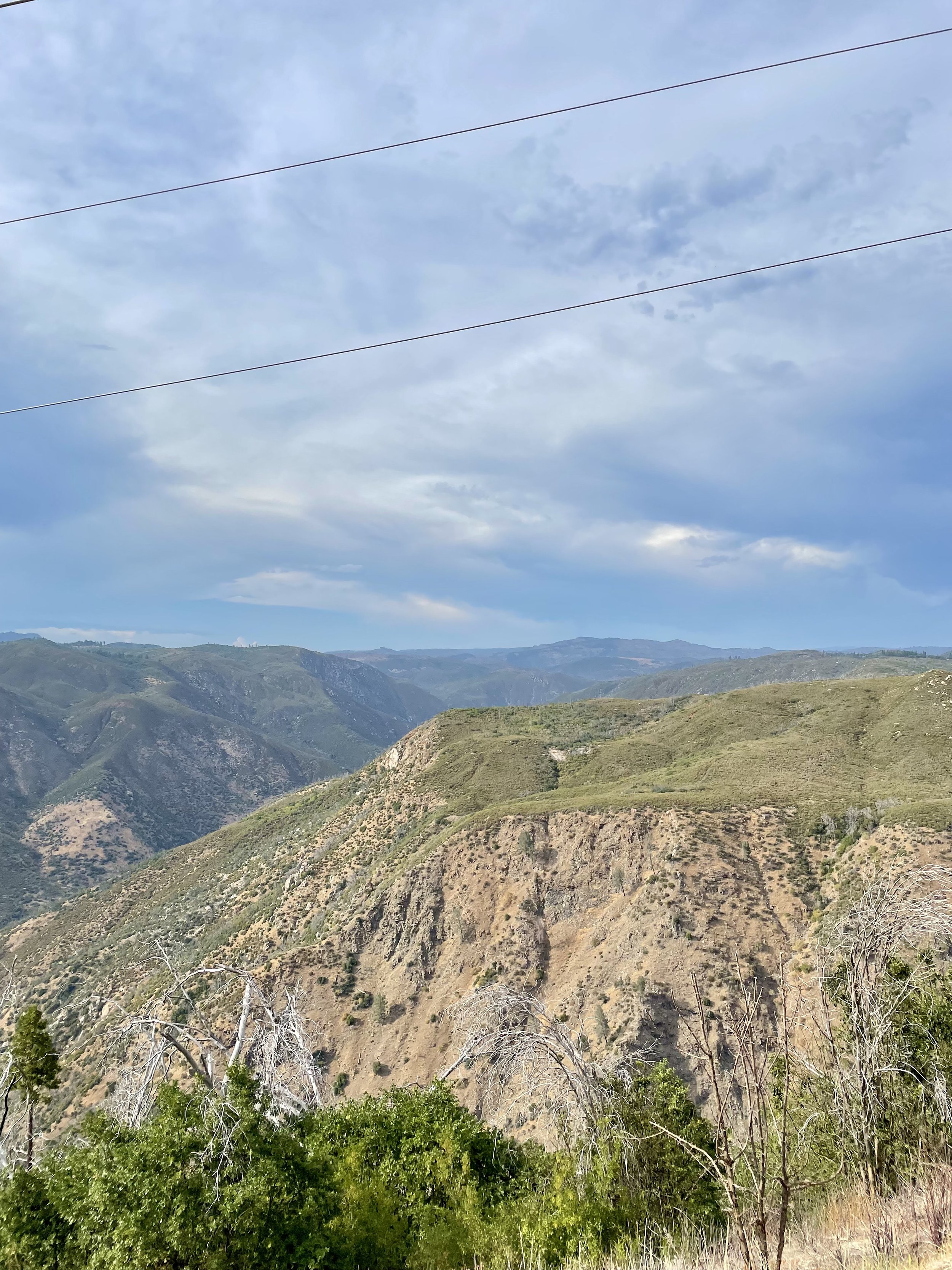
As I left Yosemite and drove east towards Groveland, I happened to drive by the Stanislaus National Forest vista point named “Rim of the World” so I stopped at the roadside pullout to take in the view. It overlooks the deep canyon of the Tuolumne River with the Sierra peaks in the distance, though the view is partially obstructed by power lines. It’s definitely worth pulling over to soak in a breath-taking, panoramic view, but you’ll also notice the scars of the devastation of the “Rim Fire,” a forest fire that hit the place in August 2013, the third-largest wildfire in California's recorded history and the largest recorded in the Sierra Nevada at the time.

Seeing Yosemite as an adult was beyond my expectations. It’s one of the most popular national parks with photos inundating the internet, but unless you experience it in person, you will never fully understand the awe and amazement of this incredible glacier carved wonder! Stay tuned for my next post about a ranch near Coulterville that’s available for hosting various events.
Comment

Comment

Celebrating 50 Years On Earth!

My perception of what 50 looked like was very different than how I actually felt when I turned a half century old. I don’t feel 50, but back in 2021, my golden birthday was upon me and I couldn’t think of a better place to celebrate this milestone than in California where I have lived most of my life!

My San Jose Besties and I, known by the moniker “DEJA B” (based on our first name initials), have been going camping together at Pinecrest Lake every summer for over a decade. In 2021, it just turned out that our camping trip was right before my birthday, making it an ideal time for a road trip to see my friends and then celebrate in the Bay Area after. My trip began on June 19th as I headed south along I-5 to Oregon. It was a beautiful sunny day with clear skies and I ended up near Lebanon to see my cool friend Kim for the night. It’s always convenient to have a safe overnight spot and luckily I have a few great friends along the way that I usually stop at. The next morning I continued on south into California, passing Weed and Mount Shasta, and ending up in Chico at my friends Julie and Eric’s house for the night. Continuing on the next morning, I stopped in Marysville for lunch along Ellis Lake and let Maverick explore a bit and watch the ducks. Then my journey south took me passed Copperopolis and Lake Tulloch and finally ending up in Pinecrest at our campsite in the early evening.

We camped for six days in the forested campgrounds right by the lake and enjoyed our daily swims and campfires. Since there’s no data service at Pinecrest, I drove up to Dodge Ridge every few days to get some things done on my phone while Maverick explored the rocks. My hiking in Washington for a few months prepared me to hike the Pinecrest Lake Loop, which is almost 4 miles around. Check out my Instagram Reel from that hiking adventure to get an idea of what the trail is like. It was a hot day, so I was a bit drained at the end of the hike, but it was totally worth it! My besties had a small 50th celebration for me the last night with lots of decorations and a “50 Looks Good On Me” sash. I had a great time celebrating with these lovely ladies who have been my besties for over a decade!

Following our camping adventure, I visited Yosemite for the day and then made it back to my old stomping grounds in San Jose. On my actual birthday July 2, my bestie Joanna hosted a pool party at her house for the extended DEJAB group, which was an absolute blast! Then the following day, my lifelong friend Barbara (yes we have the same name & are both Swiss), whom I’ve known since I was 5 years old, offered up her incredible property for my Big 50 Birthday Party, which was super sweet of her. Around 30 of my favorite people showed up to celebrate with me for the evening with a taco truck and lots of wine! It was so good to see everyone and spend time with them catching up on life events. I even had one of my Clubhouse friends named Max show up, whom I hadn’t met in person before, as well as some vanlife friends whom I met a few months earlier! It was a bittersweet goodbye at the end because I knew I wouldn’t see many of these people for a long time since I don’t live in the Bay Area anymore.

After the birthday festivities, I headed to Clearlake to celebrate 4th of July with the Chesterman Family, more dear friends of mine whom I have a long history with. They have a lovely lakehouse in Lakeport and we celebrated Independence Day with boat rides during the day and fireworks at night! I realized I didn’t take any photos of the group, so this is all I have to share with you from that patriotic day.

I headed north the following day to Cottonwood, where Rebecca and Ed live, friends and neighbors through yoga class from a few years before I moved. I spent the day and night with them at their new place along the Sacramento River learning all about how they ended up living at Lake California and how they are adjusting to their move. I sadly didn’t take any photos of us but I did get a few good sunset shots.

As you can see, I am lucky to have a lot of wonderful friends that I can visit and stay with whenever I travel from Washington to California, many of which are conveniently located off major routes I take to get around. My 50th was a highly memorable birthday and this road trip really allowed me to spend time with most of the people that I proudly call friends and love my with my heart!

Comment

Comment

Chasing Waterfalls Near Vancouver WA

Chasing waterfalls is a passion for many people, myself included. But what is it about waterfalling (a coined expression that’s short for visiting waterfalls) that provides such benefits? Not surprising, the continuous sound of water flow, like that of white noise, has a soothing effect on most people. Plus with easy access to so many waterfalls without tedious hikes to get to them, it’s a quick way to get in touch with nature, witness its miracles, and be around water, the source of life on Earth, all in one!

After enjoying four waterfall hikes in Southern Oregon, I went to visit some friends in Vancouver, WA, and got myself a good night’s rest. My plan was to venture straight home the next day, but my friends told me about two waterfall parks I could visit with only a slight detour, so of course I had to visit those falls!

I left the morning of June 2, 2021, and headed to Lucia Falls Park. This 24-acre park follows the north shore of the East Fork of the Lewis River and features beautiful picnicking and hiking areas. An easy 1.1-miles roundtrip loop takes you to the spectacular view of Lucia Falls tumbling over the rocks. No swimming or other types of water contact are allowed here because the waters are sensitive fish spawning grounds. The park gives visitors a wonderful front row view of steelhead leaping up the falls at certain times of the year. The falls are at their mightiest during the wet season since the river flow is much reduced after the snow melt.

Next up was Moulton Falls Regional Park, a 387-acre park at the confluence of the East Fork of the Lewis River and Big Tree Creek which features two waterfalls and an arch bridge more than three stories high. The park sits on both sides of the river and is heavily forested and includes a few areas of interest including volcanic rock formations from early lava flows, historic Indian meeting grounds, a swing bridge on Big Tree Creek and access to the 7.5-mile Bells Mountain Trail. Swimming and cliff jumping into the deep pools is allowed, however, there are no lifeguards on duty. The Chelatchie Prairie Railroad excursion train also passes through the park.

I hiked maybe a third of the 4-mile out-and-back trail along the river, getting a great view of Moulton Falls and the arch bridge, but got a bit confused on which way to go to get from Moulton Falls to Big Tree Falls (aka Yacolt Falls). Then I read that you could drive up the road a bit further and park close to Big Tree Falls, so I did that instead. It’s just a short jaunt down from the roadside parking to the falls, making it a quick and convenient stop! I was definitely more impressed with this view as it’s a two-tier waterfall totaling around 28 feet and flowing under a lovely and unique foot drawbridge, from which you get an even greater view of the falls. I highly recommend either hiking or driving to Big Tree Falls when you’re in the park.

Both Lucia Falls Park and Moulton Falls Park follow part of the Northern Clark County Scenic Drive, a 70-mile loop skirts past farmland, waterfalls, and historic sites. It just happened to be that if I continued to follow this scenic byway further north and then east, I would get to Interstate-5 to head home, so it only made sense to enjoy the drive through the quaint rural towns on this wonderful sunny day.

My eight day journey came to a close that evening with my heart full of wonderful memories of another fun road trip! On a side note, turns out there are quite a few more waterfalls in Clark County that I missed, so now I know where to go the next time I’m in the area!

Comment

Comment

Southern Oregon's Highway of Waterfalls

After enjoying the incredible beauty of Crater Lake, I headed to the Rogue-Umpqua Scenic Byway (OR-138), also known as the “Highway of Waterfalls.” This 172-mile byway ascends from Interstate-5 into the southern Cascades, tracking two of Oregon's most storied rivers. The first leg of the trip follows the North Umpqua east from Roseburg. A river of unparalleled beauty, the North Umpqua is revered worldwide for its steelhead fishing. After passing more than a half dozen waterfalls, the byway reaches sparkling Diamond Lake, at the base of Mount Thielsen. The byway then bends south, and soon follows the "Wild and Scenic" Rogue River. I've read that there are fifteen waterfalls along the Rogue-Umpqua Scenic Byway, so if you're a waterfall chaser like me, this could be the adventure you're looking for in the Southern Oregon region!

I only traveled the part from Crater Lake to Roseburg and managed to see four of the waterfalls en route in the few hours I had. It was a hot day in the mid-90’s, which was one of the factors for how many hikes I was able to do on June 1, 2021. I think I would have managed a few more stops and hikes if the weather had been cooler.

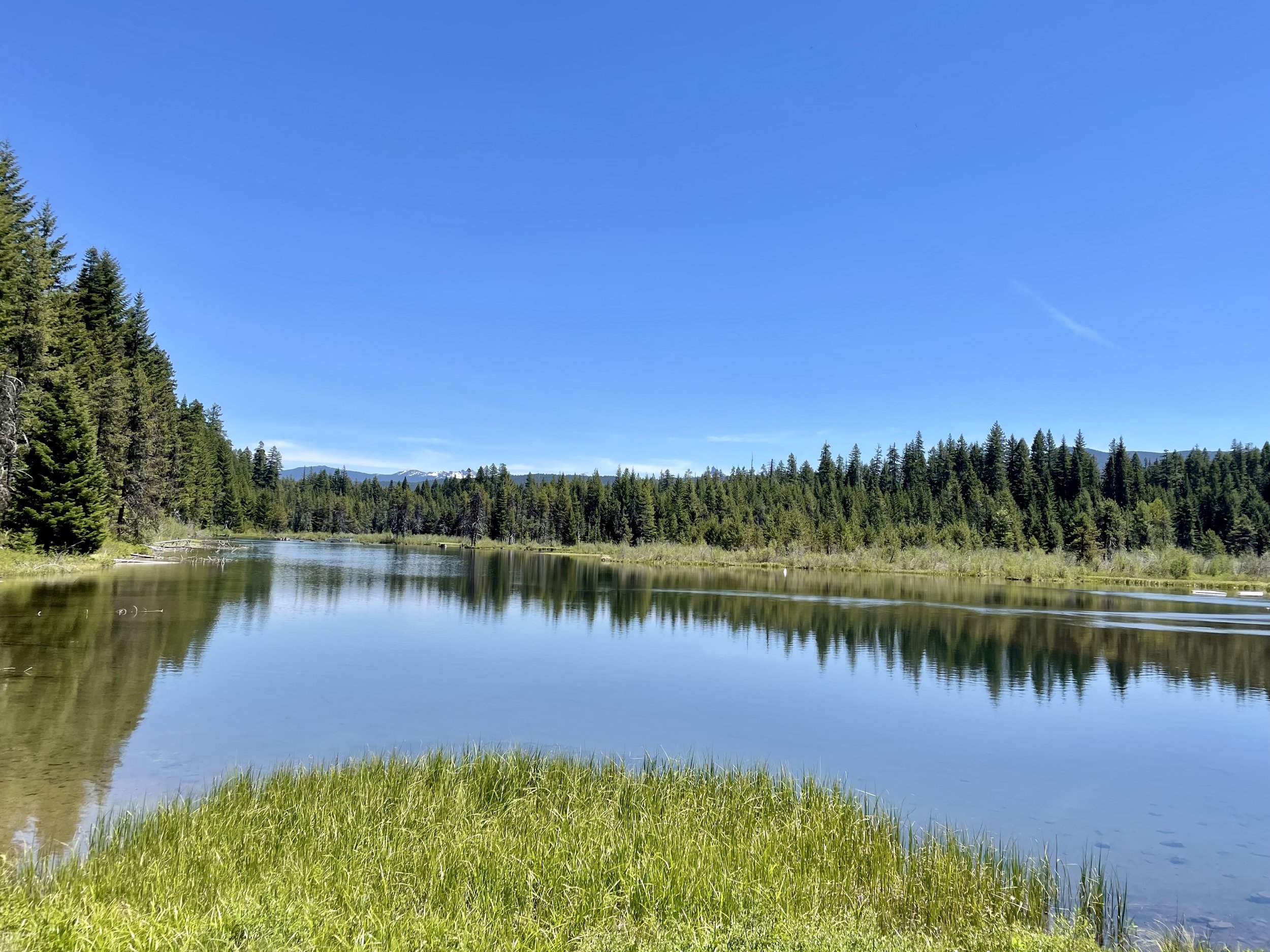
Since I was traveling from east to west, my first stop was Diamond Lake, a natural lake situated in the heart of the Cascade Mountains and surrounded by stunning natural beauty. The lake is named after its crystal-clear waters that sparkle like diamonds in the sunlight. The lake is located at an elevation of 5,183 feet above sea level and covers an area of 2,824 acres, making it one of the largest natural lakes in Oregon. It was formed as a result of glacial activity during the last Ice Age and is fed by several streams and is drained by the North Umpqua River. It’s a great place for fishing, boating, camping, and snowmobiling with various lodging options (resort, campground, RV park). I plan to camp here some day in the future as that water sure looked inviting!

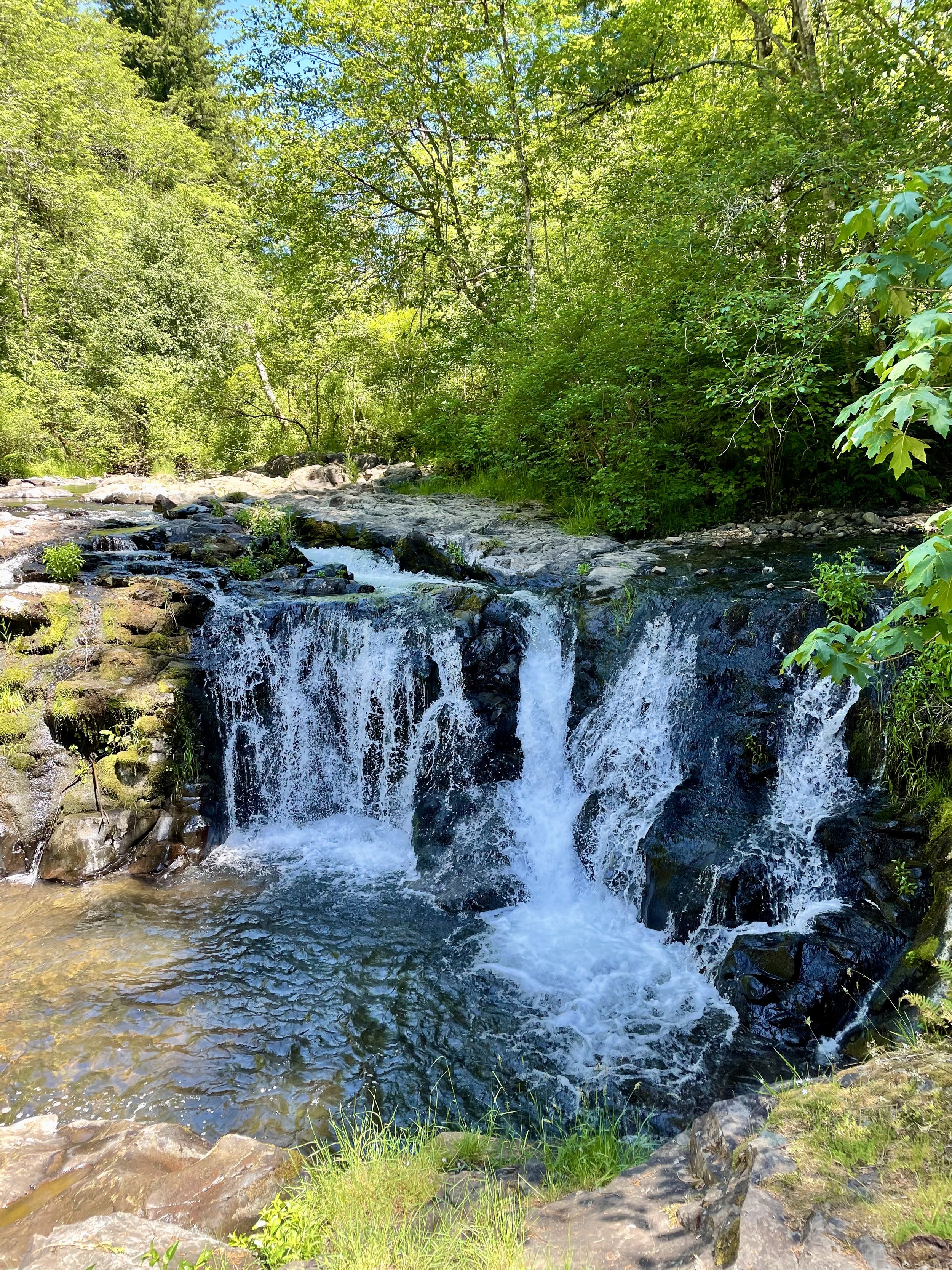
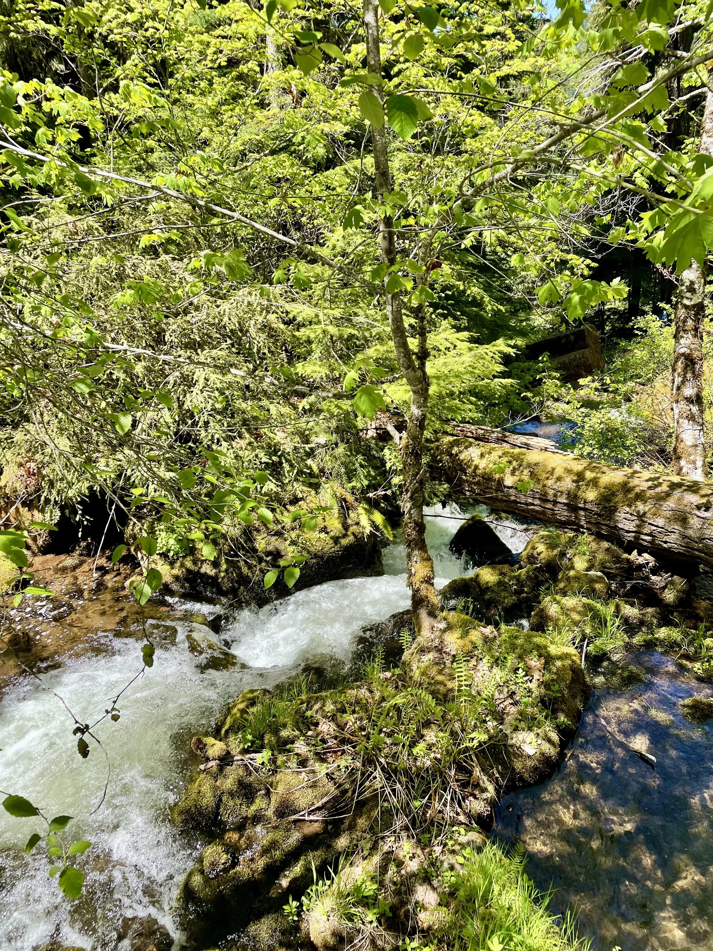
After soaking in the views at Diamond Lake, I started my waterfall chase. First up was Clearwater Falls, which is a quick stop off the highway with the viewing platform for the falls is just steps from the parking lot. The Clearwater River is fed by a spring not too far upstream from here, so the falls are fairly consistent in flow throughout the year, cascading 30 feet over moss covered rocks and fallen logs. There are picnic tables there, so it’s a nice spot to take a break and relax. There’s also a campground there that is open seasonally for $10.

I made a quick stop at Stump Lake between Clearwater and Whitehorse Falls to see what this 10-acre lake was all about. Turns out it’s a popular birding and fishing spot, stocked with brook trout.

Next up was Whitehorse Falls, a beautiful small 15 feet waterfall also located on the Clearwater River that tumbles into a small pond. Like Clearwater Falls located further upstream, Whitehorse Falls is not a large or impressive waterfall when compared with others nearby, but the tranquility of the area and the beautiful old growth Douglas fir forest found here make it a worthwhile stop. Plus it’s a short 0.1 mile walk through some tree cover to see the falls. There is also a seasonal campground at this location for $10.

Watson Falls, often touted as Oregon's 3rd tallest waterfall, are actually further down the list per Northwest Waterfall Survey, but its impressive 294-foot continuous drop gives it a lot of clout! There are two viewpoints along this 1 mile, family friendly loop trail which has about 425 ft elevation gain through old-growth forest. You can feel the mist of the falls at the upper viewpoint, so watch your footing as some of the rocks can be a bit slippery. I really enjoyed the hike through the old growth forest and seeing all the little falls along the stream as well. From the parking lot you can also access Watson Creek and dip your feet into the cool water. Sadly the bathroom and parking lot were strewn with litter, which was beyond disappointing to see, once again reminding me that humanity doesn’t always appreciate and respect public places and realize their impact on the environment.

My last waterfall hike of the day was Toketee Falls, the best-known waterfall on the North Umpqua River. Once you park your vehicle, you’ll notice a long pipeline along the road. This 12-foot diameter redwood-stave flowline was constructed in 1949 as part of the North Umpqua Hydroelectric Project. The water that flows through the pipeline still powers three generator turbines, producing energy for 22,500 homes.Despite only being 1 mile in and out, the trail to the falls does involves a series of almost 200 steps along the side of the canyon (about 200 ft elevation gain), ending at the viewpoint platform above the chasm of the amphitheater constructed of columnar basalt. Two tiers are visible from the viewpoint, the 80-foot lower plunge and a 40-foot upper falls, with a third tier invisible to viewers up the narrow defile of giant potholes above the main falls. Toketee (pronounced TOKE-uh-tee) is a Chinook jargon word meaning "pretty" or "graceful" which describes these falls perfectly! I did notice that a bunch of people were scrambling down the side of the canyon from the viewing platform so they could get into the pool of water, but there are many warning signs posted about the dangers of doing that. I highly encourage my readers not to follow suit as all that trampling is just eroding the ground and destroying the vegetation, in addition to being very unsafe. Practice “leave no trace” principles wherever you go and stay on trails!

If you ever drive this scenic highway, I highly recommend stopping at all the falls. Even though I didn’t do them all, there are quite a few more worth checking out: Warm Spring Falls, Lemolo Falls, Steamboat Falls, Fall Creek Falls, Deadline Falls, and Susan Creek Falls. For all you fishing enthusiasts, Swiftwater Recreation Area is a good place to go for steelhead and salmon fishing. Plus I know I plan to go to Umpqua Hot Springs next time I’m in the area! Watch the video in this guide to get some inspiration on where to camp while in the area seeing the falls!

My trip from Washington to Northern California and back through Oregon is almost done with one post left about some waterfalls hikes near Vancouver, Washington!

Comment

Comment

The Incredible Beauty Of Crater Lake

Following my day exploring Lassen and Burney Falls, I left Northern California and headed into Oregon. I decided to check out Crater Lake National Park, which I had only been to once before in 2016 for a brief visit. Formed nearly 8,000 years ago, Crater Lake sits atop Mount Mazama, part of the Cascade Range spanning northern California to southern British Columbia. Mount Mazama’s eruption about 5700 B.C. catapulted volcanic ash miles into the sky and expelled so much pumice and ash that the summit soon collapsed, creating a huge, smoldering caldera. Eventually, rain and snowmelt accumulated in the caldera, forming a lake more than 1,900 feet deep, making it the deepest in the United States. There are many activities one can do around Crater Lake depending on the season. Hiking, backpacking, camping, picnicking and sight seeing are popular pursuits within the park, though there is limited access from October to June. Boating and scenic driving around Rim Drive can be enjoyed by visitors during the summer months. In winter snowshoeing and cross-country skiing provide solitude and a little-known view of the park.

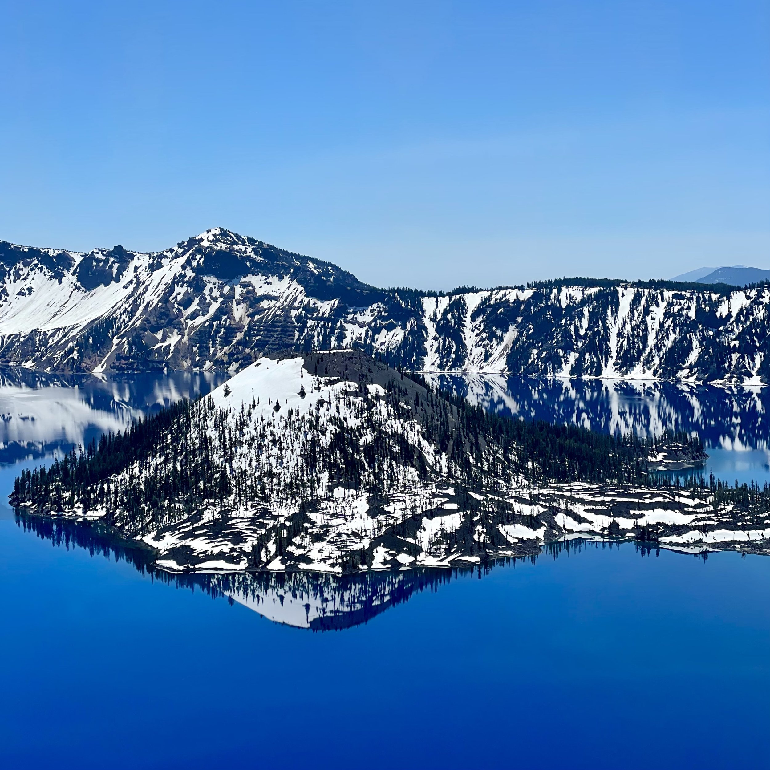
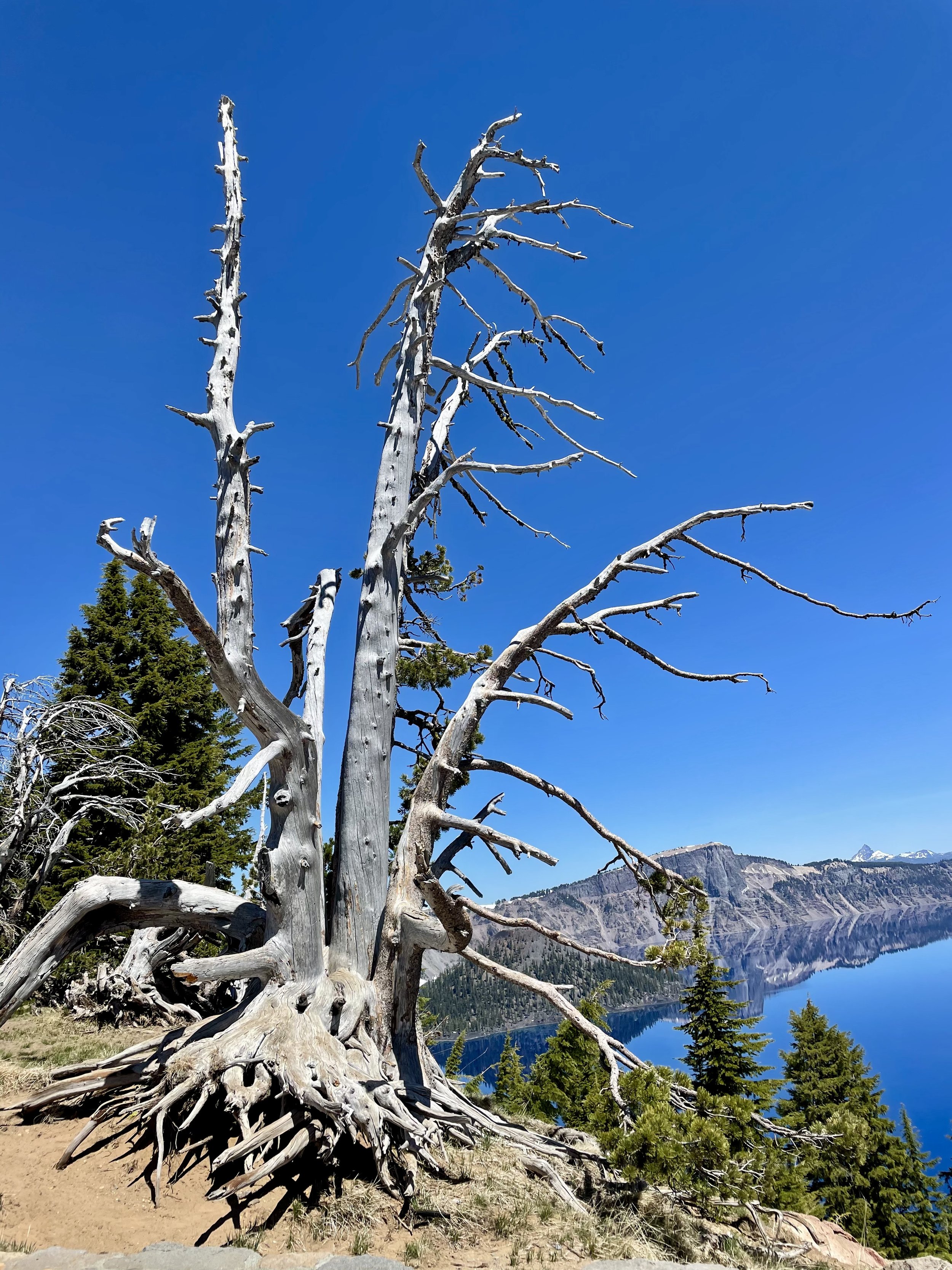
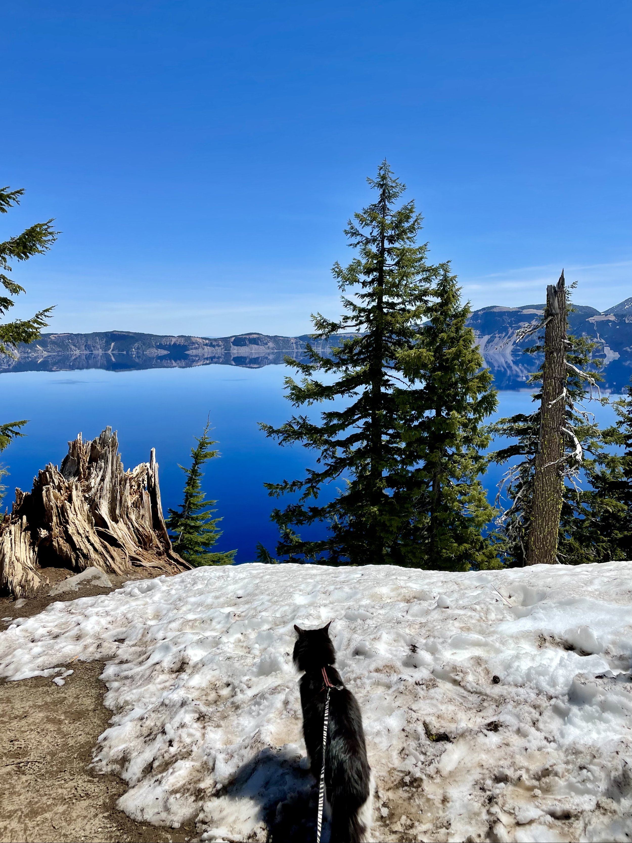
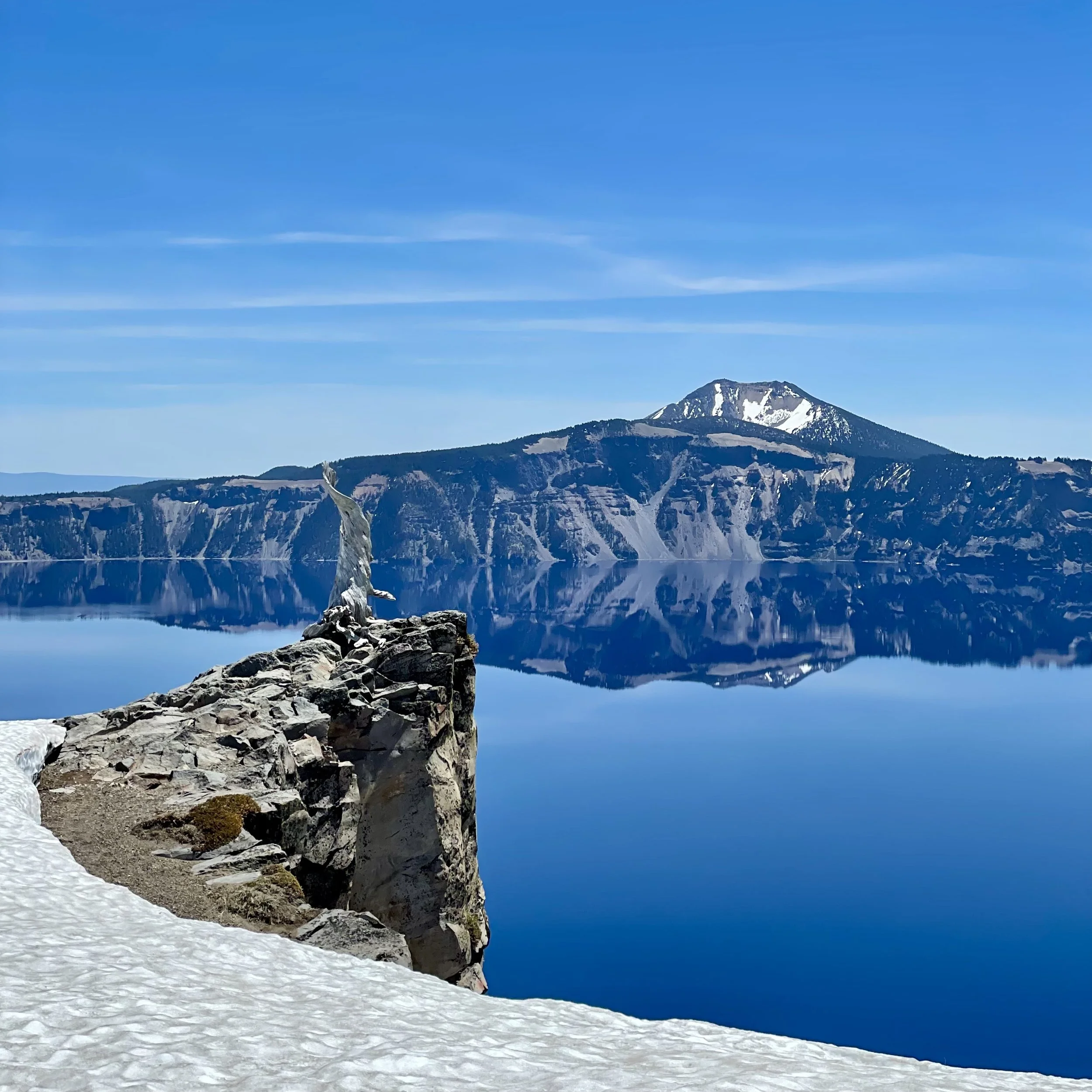
There was still a lot of snow when I arrived on June 1, 2021, therefore, only the West Rim was open while the East Rim was still closed. Since I drove in from the South Entrance, I first stopped along Annie Creek Canyon viewpoints and learned all about fossilized steam events that sculpted the rocky spires in this river valley. Once I arrived at the rim, I stopped at Rim Village and did the self-guided walking tour along the snowy path to admire this incredibly blue, mirror-like lake. I wasn’t prepared for all the snow, but I still trekked through some big piles of snow to get to all the various vista points to soak in the wonderful views. Did you know that Crater Lake is so blue because longer wavelengths of sunlight (red, yellow, and green) are absorbed by water while blue light is not absorbed well? Blue strikes the water and is scattered and redirected back from the lake depths to our eyes. Crater Lake is also known for its unique clarity and purity because it’s only filled with rain and snow melt, no streams empty into it which usually bring the sediments that turn waters cloudy. I also learned about Samuel T. Mather from a commemorative plaque along the rim since “he laid the foundation of the national park service, defining and establishing the policies under which its areas shall be developed and conserved unimpaired for future generations.”

Next, I headed to the Discovery Point Overlook, where gold prospector John Wesley Hillman, who was actually looking for Lost Creek Mine, first spotted Crater Lake in 1853, calling it “Deep Blue Lake.” I also made some stops on the non-lake side of Rim Drive to see the volcanoes and mountains in the distance. I believe they are Mount Shasta, Mount Thielsen, Diamond Peak, Union Peak, and some others in the photos below.

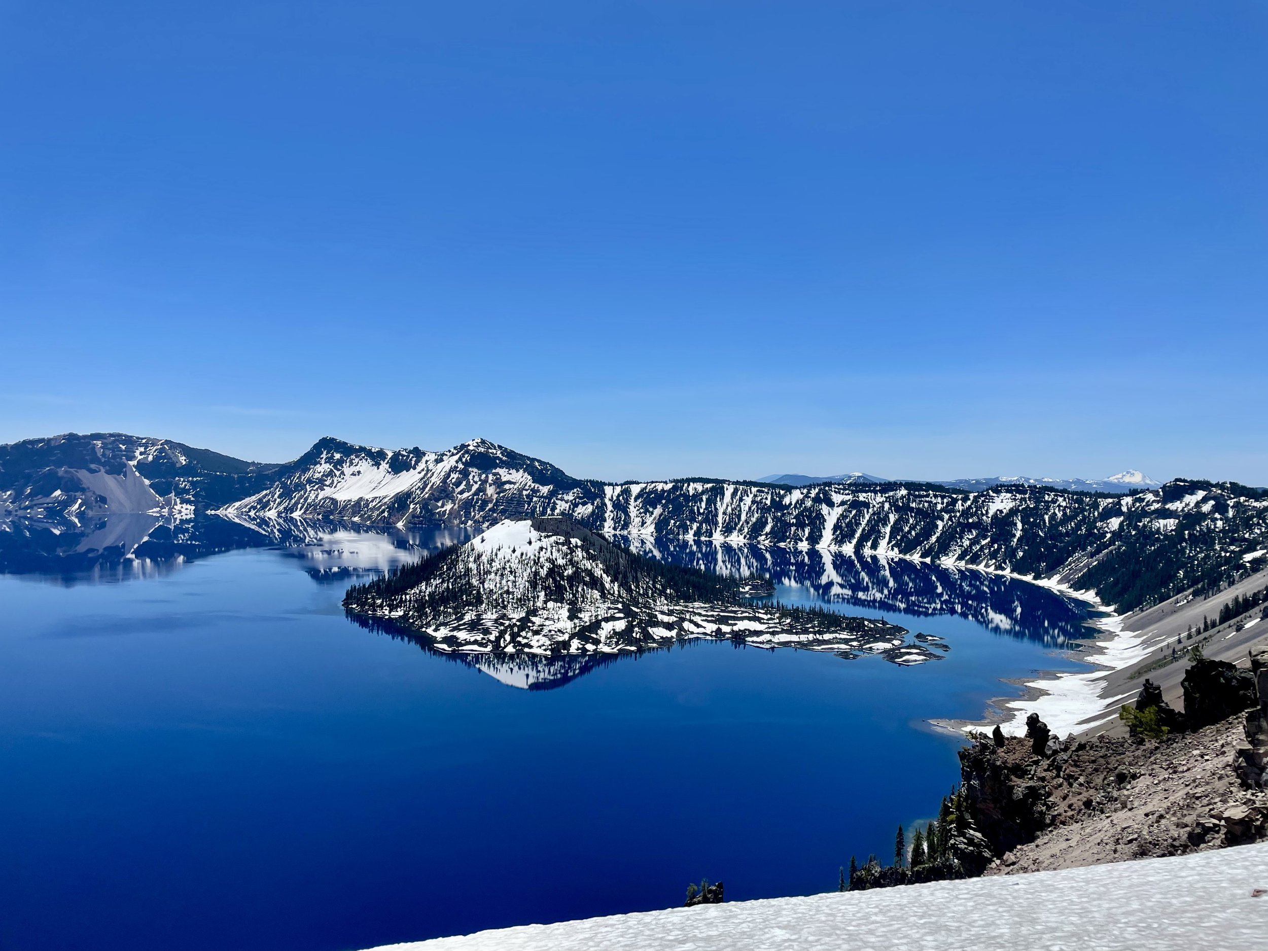
I continued north to Watchman Overlook, another wonderful spot to stop to see a slightly different angle of the lake, though sadly the trail to Watchman Lookout was closed, as most trails were due to the snow. You pass very close to Hillman Peak around this part of Rim Drive, the highest peak on the caldera rim and the second-highest peak in the park. My last stop was Merriam Point Overlook near North Junction where you have the closest view of Wizard Island, which some call the most interesting feature on Crater Lake. It’s also the perfect place to see Llao Rock, Garfield Peak, Mount McLoughlin, and Mount Scott, who’s summit is the highest point in the park. While I was there in 2021, the Bronze Relief Map had not yet been erected at this overlook, but visitors now get to see this tactile map to enhance learning and understanding of the scope of the park and the depth of the lake, especially for kinesthetic learners and people with visual impairments.

Following the cataclysmic caldera-forming eruption of Mount Mazama, which left a hole about 4,000 feet (1,200 m) deep where the mountain had once stood, a series of smaller eruptions over the next several hundred years formed several cinder cones on the caldera floor. The highest of these cones, the only one to rise above the current lake level, is Wizard Island, which rises over 2,700 feet (820 m) above the lowest point on the caldera floor and the deepest point in the lake. One day I really want to experience the Wizard Island Boat Tour and see this 763-foot cinder cone up close. While on Wizard Island, you can hike the 2.2-mile roundtrip Wizard Island Summit Trail which has a path leading to the 90-foot deep crater at the summit. The hardest part of this journey is that you need to hike the Cleetwood Cove Trail to get down to the boat dock, which is very steep and strenuous as it drops approximately 700 feet in 1.1 miles and can take 30-45 minutes to descend, and then you have to hike it back up at the end of the day when you must ascend the 11% grade back to Rim Drive (comparable to climbing 65 flights of stairs). It’s a full day’s trip, but I’m sure it is worth it!

As most of my friends know, I’m 100% a water person and love being in, on, or around water as often as possible. The idea of swimming in Crater Lake sounds beyond amazing to the mermaid inside me and some day I hope to accomplish this feat and tackle that steep hike so that I can jump in. I’ve heard that swimming in the crystal blue waters is quite refreshing on a hot day, though during summer the average surface temperature of the lake is only 57 degrees F (14 degrees C). If you ever decide to make the trek down to the water, be sure to follow the rules as only bathing suits and basic clothing may be worn in the water to protect the clarity of the lake and decrease the possibility of introducing invasive species. Do NOT bring or use scuba and snorkeling gear, wet suits, masks, goggles, fins, inner tubes or any towable devices, kayaks, canoes, paddle boards and any motorized or non-motorized boats, inflatable rafts, flotation devices, personal life jackets or vests, nor waders. The park also recommends to have warm, dry clothing available to immediately put on after being in the lake. Swimming is only allowed within 100 yards of Cleetwood Cove and within 100 yards of Wizard Island, provided that swimmers remain at least 50 feet away from any boat, boat dock or buoy. Doesn’t this photo just beg you to jump in!!!

After my time at Crater Lake, I continued my trip through Oregon on my way home. Up next is the waterfall hikes I did in the Umpqua National Forest!

Comment

Comment

Lassen Volcanic Park, Manzanita Lake & Burney Falls

After my time at Descend on Lost Sierra, I headed north to Lassen Volcanic National Park on May 31, 2021. Did you know that Lassen Peak is the largest plug dome volcano in the world and the southernmost volcano in the Cascade Range? Lassen Volcanic National Park is also one of the few areas in the world where all four types of volcano can be found—plug dome, shield, cinder cone, and stratovolcano.

I enjoyed the drive through the volcanic landscape with hopes that I could hike the Bumpass Hell Trailhead and witness the largest hydrothermal area in the park. Sadly the trail was still closed due to the snow, making this the 2nd time I haven’t had the pleasure of seeing the 16 acres of boiling springs and mud pots, hissing steam vents, and roaring fumaroles up close! The first time I came to Lassen in 2018, this 3-mile roundtrip trail was closed for maintenance, so it looks like I’ll have to come back to Lassen again to conquer this trail and see the volcanic activity from the new boardwalks.

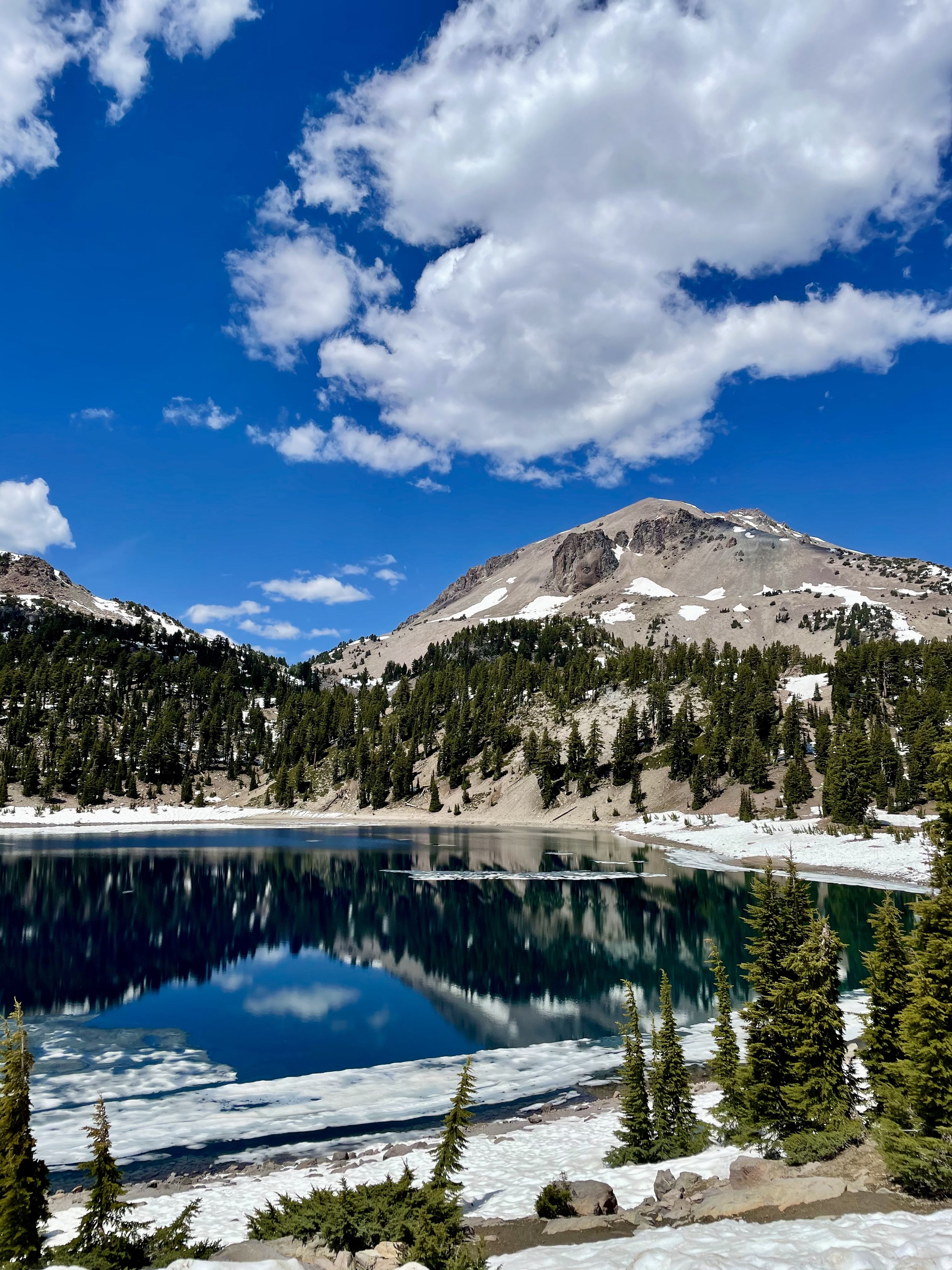
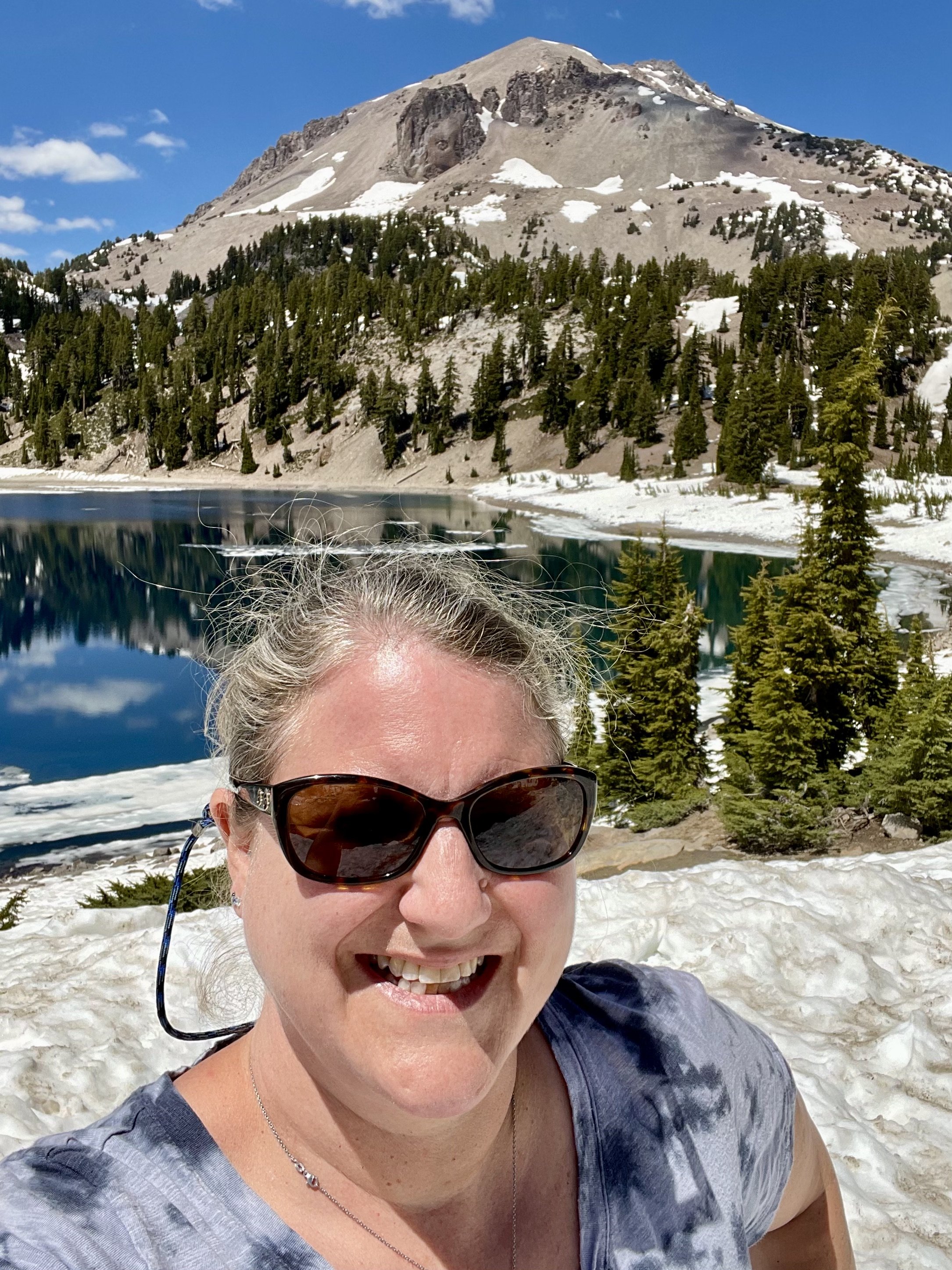
As you drive through this amazing national park from the Southwest entrance to Northwest entrance, you get stunning views of Mt Diller, Brokeoff Mountain, Eagle Peak, and Mt Lassen, as well as Reading Peak and Hat Mountain. The snow on the ground and the blue sky with some puffy clouds made for a great background really capturing the beauty of all these incredible peaks! I made it a point to stop at Emerald Lake and Lake Helen at the base of Lassen since these two icy lakes often reflect the mountain peaks and trees perfectly. Lake Helen is a glacial lake or a tarn occupying a cirque, an amphitheatre-like valley formed by glacial erosion, and its incredible blue color comes from the unique mineral content of the lake. Since the lake is at a high elevation at around 8,200 feet, the lake is frozen and covered in deep snow for most of the year from around October/November until July/August despite being over 100 feet deep. While Lake Helen is deep and blue, Emerald Lake gets its green color from vegetation that grows in its shallow waters. Some day I plan to hike the 5-mile hike to the top of Lassen Peak but I wasn’t eager to do it in snow that day.

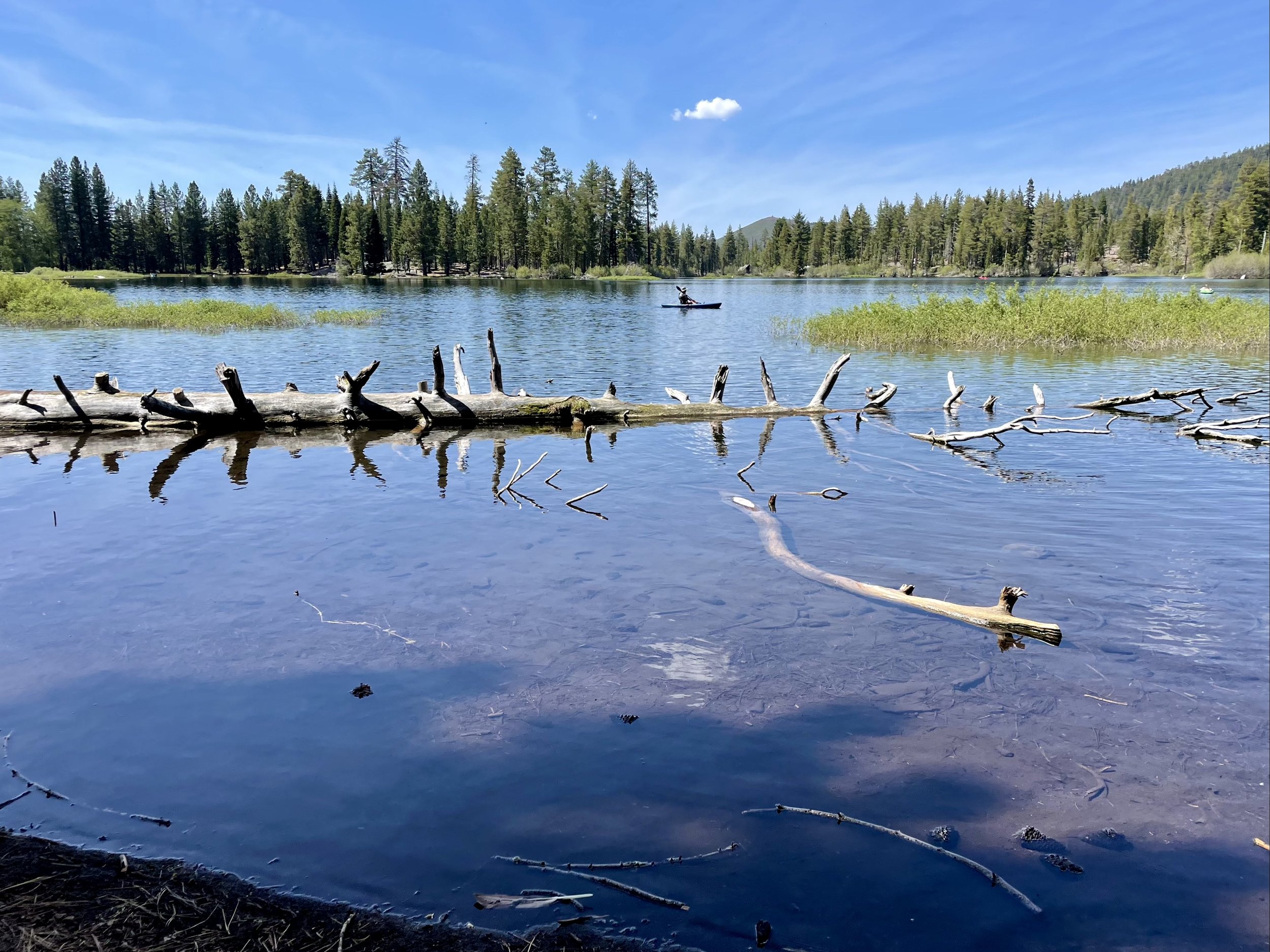
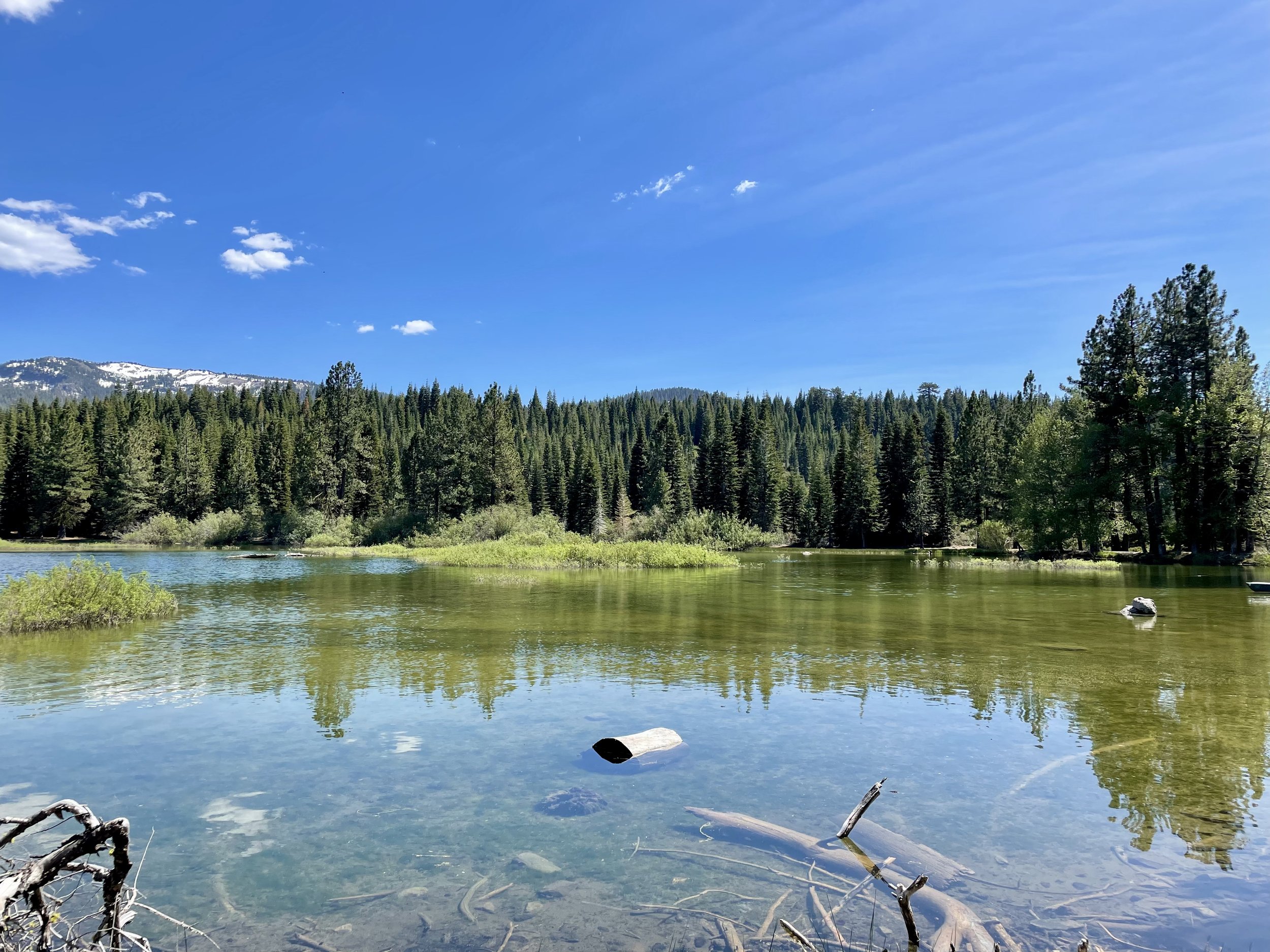
I was excited to get to Manzanita Lake on the north end of the park as it’s one of my favorite lakes to hike around! This 1.6-mile trail around the lake has so many wonderful views that I took lots of photos to capture its beauty on this warm spring day with deep blue skies and some white puffy clouds. Manzanita Lake is one of the most photographed lakes in Lassen and the centerpiece of the park’s main visitor area. It’s also a great place to camp with 179 campsites near the lakefront. After my stroll around the lake, I took advantage of being the only one at the Chaos Crags viewpoint, another great place to stop in this amazing volcanic park. These crags formed as six dacite domes 1,100-1,000 years ago, one dome collapsing during an explosive eruption about 70 years later. The eruptions at the Chaos Crags mark one of just three instances of Holocene activity within the Lassen volcanic center.

My time in Lassen came to an end so I drove to one of my other favorite spots in Northern California and possibly the most beautiful waterfalls I’ve seen in my adult life — Burney Falls! Located in the McArthur-Burney Falls Memorial State Park, this 129-foot-tall, fern-draped cascade of water seems to come out of nowhere. The water comes from underground springs above and at the falls and provides an almost constant flow rate of 100 million gallons (379 million liters) per day, even during the dry summer months. It’s no wonder 26th President Teddy Roosevelt dubbed it “the eighth wonder of the world”! Every time I come here, I dip into the clear icy pool of water which never goes much above 42*F. Considering it was in the high-90’s that day, I really enjoyed the cold water and soaked in the incredible views. Burney Falls is an outstanding example of a waterfall and stream fed by large springs that are commonly associated with areas covered by recent lava flows, and also of a waterfall formed by the undercutting of horizontal rock layers. The soft white rock is diatomite and its presence is evidence that a very large lake once filled the region and supported abundant tiny freshwater plankton called diatoms. Interesting fact for you, the trail to Burney Falls that runs over Burney Creek also hits the Pacific Crest Trail.

Later that afternoon, I headed past the Lake Britton Bridge, the old railroad trestle shown in the 1986 movie “Stand By Me” and took a quick photo of the dilapidated trestle. The bridge was built in 1955 on the McCloud River Railroad, primarily a logging railroad. The steel bridge is 450 feet long and is about 75 feet above the waters of Lake Britton. The bridge has now been stripped of rails and is no long in use and there is a blockade placed in front to restrict access after a Reno man was killed jumping off the bridge. This part of the Burney branch was operational until 2005. I’ve always admired the water below and plan to camp along the northshore of Lake Britton at some point to enjoy paddling around this beautiful reservoir.

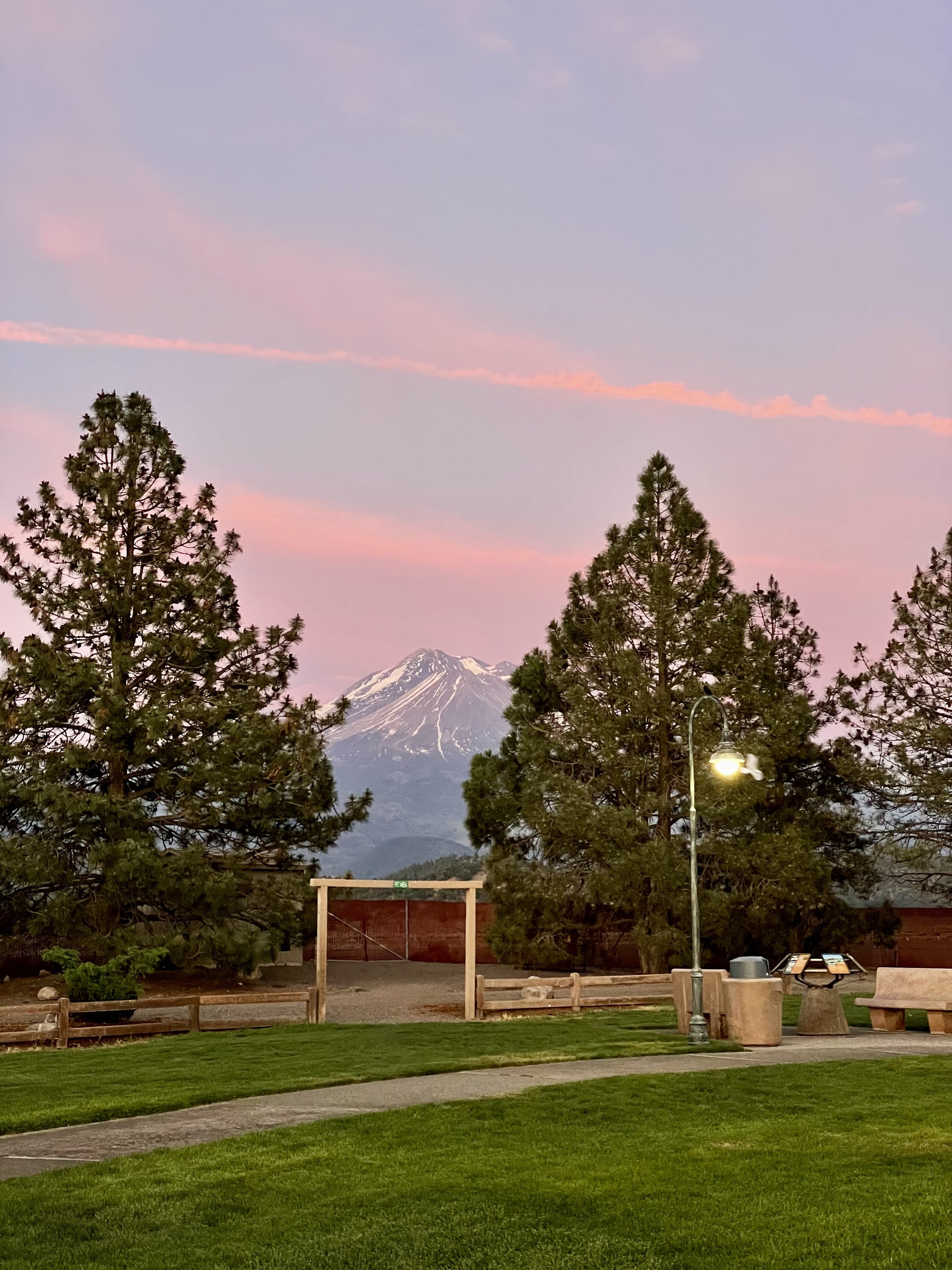
I have boondocked near the McCloud Falls on US Forest land a few years prior, so I headed there with the plan to spend the night nestled among the tall trees. As I was settling in, I noticed that the sky was turning into some great sunset colors, so I decided to chase the sunset instead and headed to Mt Shasta, stopping to capture the golden hour on the mountain. Instead of backtracking to McCloud, I decided to spend the night at the rest stop past Weed near the airport that night.

My next blog post is about Crater Lake National Park, which I went to the next morning!

Comment

Comment

Inaugural Descend On Lost Sierra 2021

Back in May 2021, I ventured from Washington to the Sierra Butte region of California's High Sierra to attend the inaugural Descend on Lost Sierra. The term “Lost Sierra” is attributed to William Berry, one-time official historian of the United States Ski Association, who used the term to describe the region when he visited it for the first time circa 1933. Many publications also refer to the area as Northern California's best kept secret as it doe not get as many tourists and many of the towns are still quite small and quaint. I highly recommend exploring the Lost Sierra if you’re near the Plumas and Sierra Counties, about an hour drive north of Truckee.

My journey started on May 26th driving south of Interstate-5 to Oregon with a quick stop at Gee Creek Safety Area, which is part of the Blue Star Memorial Highways and has a war memorial plaque for the men and women who have endured hardships as prisoners of war, who have been killed in action, and those who are still missing in action. There is also an interesting old wooden sign there about Fort Vancouver, which is located about 13 miles south. After a stroll around the rest stop with my cat Maverick, I continued on the freeway down to Eugene, OR, where I spent the night in front of a Boondockers Welcome host in the countryside.

The next morning I headed east past burnt Oregon forests to Klamath Falls near the California border and enjoyed lunch in Veterans Memorial Park, my favorite spot to stop there due to the lovely water view of Lake Ewauna. This time around, I actually walked around the veterans memorial which features memorial bricks for past and present military personnel, a covered pavilion, and a display of Locomotive#2579 used by the Southern Pacific Railroad. The sky and clouds were magnificent that day creating an incredible backdrop for photos!

After my park explorations, I headed south into California and stopped at Eagle Lake to see if it would be a great place to spend the night and possibly get a swim in. I stopped at Rocky Point East Campground to check out this small undeveloped campground. Unlike the developed campgrounds along the lake, this site is most suitable for self-contained camping like a camper van as there is no potable water nor trash removal available and only a vault toilet for use. The lake was super low and access for swimming impractical, so I gave up on that idea and just enjoyed the view. It was a bit windy that afternoon and sadly I didn’t realize my fedora hats got blown out my open back doors, including one my mom gave me before she passed away and my favorite black and zebra one, which are now lost forever! Due to the wind and lack of swimming access, I left and continued on to find a good overnight spot. I ended up driving just outside of Portola, only 30 minutes away from where Descend was taking place on a private ranch, and arrived just in time for a wonderful sunset, which I enjoyed from the L.T. Davis Rest Area before town.

The next morning I drove to Sierra Valley Basecamp where the event was taking place and found the perfect spot for my van along the edge of camp near some vanlife friends I knew from prior gatherings and waited for more of my friends to arrive. Descend on Bend has been my favorite vanlife gathering since 2018 when I attended my first one, so I was excited to be part of their new venture in Northern California. I volunteered to help out working the registration/merchandise area, hanging out with the organizers and the usual “Descend family” that you see at every one of their gatherings. I especially loved the rustic and romantic 19th century barn on site with an awesome stage and a cool saloon where we watched all the amazing artists and bands perform.

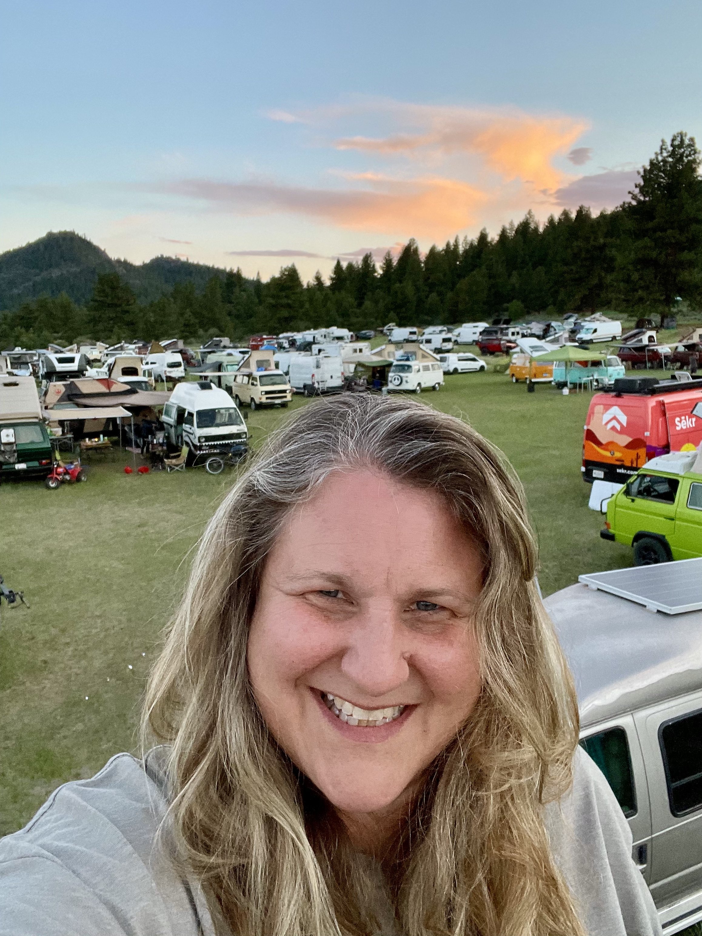
I camped with my good friend Ricardo and my new friend Mary, whom I met a few weeks earlier in a hot spring near Mammoth (see previous post). Mary has a super cool old Swiss Army Pinzgauer radio truck that got a lot of attention during the three day festival! One highlight was meeting talented artist Jacques, who joined our little group and has become a good friend of mine since. I was also camped near the Sēkr crew and Josiah from The Journal of Lost Time, who’s dog Rona tried to get into my van daily, freaking Maverick out a bit. On Sunday the 30th, I even got to meet up with my good Bay Area friends who just happen to have a vacation home near Portola and were there that weekend with some other mutual friends, so they picked me up and we enjoyed some lake time at Lake Davis Recreation Area to cool off as temperatures were in the mid-90’s. Then we went to their cabin to eat and play games until they dropped me off at the festival grounds that evening. It was so good to see them as it had been a few years!

It was sad to say goodbye to everyone the following day and head to our respective home bases, but memories from this gathering will forever be in my heart! The people you bond with at a Descend event generally turn into lifelong friends and I always look forward to seeing them the following years.

I originally planned to drive to Chico to visit some other friends, but a heatwave was hitting California with over 100*F temps in the valley, so I headed north to the cooler regions to stay away from the roasting areas. Read all about the next chapter of my journey as I worked my way home with stops at Lassen Volcanic National Park & McArthur-Burney Falls, Crater Lake National Park, the Rogue Umpqua Scenic Byway, and the North Clark County Scenic Drive (near Vancouver, WA)!

Comment

Comment

My VanFest Road Trip In 2021

Back in May 2021, I went out a fun journey to Utah for the inaugural VanFest. I had big plans to meet up with my friend Ricardo and caravan through a lot of the national and state parks/monuments in Utah and even get to the North Rim of the Grand Canyon, but he sadly couldn’t commit to week long road trip. I still planned to explore solo, but the universe had a different plan for me and the adventure I went on was still amazing and unforgettable!

My trip started on May 2 and took me from my home base in Bellingham over Snoqualmie Pass into Eastern Washington and through Yakima, the “Palm Springs of WA,” and then south into Oregon over the Columbia River at Umatilla. One highlight was coming down I-82 after passing Yakima and seeing both Mount Rainier to the north and Mount Adams to the south towering in the distance. I stopped quickly at Selah Creek Rest Area where I took some great photos of the valley below, then headed on. I found a wonderful camping spot called Spring Recreation Site along the Browlee Reservoir, a 52-mile long reservoir on the Snake River. Campsites there are only $5/night, though if you have an America Is Beautiful pass, it’s half that. For those of you that don’t care to have a paid campsite, there’s quite a few pullouts along the road you can overnight at for free instead.

The next morning I crossed into Idaho, my first time in this state, and drove through Nampa and Boise. I heard that Twin Falls was a must-see spot, so I took the small detour to check it out. I was pretty blown away by this lovely city along the Snake River Canyon and even more impressed by Shoshone Falls, the “Niagara of the West”! Shoshone Falls is 212 feet (65 m) in height, 45 feet (14 m) higher than Niagara Falls and flows over a rim nearly one thousand feet (300 m) in width. Luckily it was not a busy day so I didn’t have to battle any crowds while taking photos at all the viewpoints. I also stopped at Dierkes Lake, a popular swimming and fishing hole less than a mile up the road. I hope to spend more time in Southern Idaho in the future because there are actually over 30 waterfalls in the “City of Waterfalls” and even more in the surrounding region, including Perrine Coulee, Pillar Falls, Auger Falls, Twin Falls, Mermaid Cove, Cauldron Linn (Lynn), Ross Falls & Phantom Falls.

After my afternoon visit to Twin Falls, I headed south into Utah and stopped in Salt Lake City for the night to visit my friend Wayne. He drove me around his city right during the golden hour which really lights up Mount Olympus and the Wasatch Range. The clouds turned a lovely shade of pink that night as we ate dinner and hung out at his fire pit. I had read about Big & Little Cottonwood Canyons and decided to explore those the next morning. Big Cottonwood Canyon is a 15-mile scenic drive and home to two world-class ski resorts (Solitude & Brighton), legendary rock climbing routes, epic backcountry skiing access, hiking and mountain biking trails, and picnic areas straight out of an outdoor magazine. Little Cottonwood Canyon is the 7-mile “littler" scenic drive and home to world famous Snowbird and Alta ski resorts, as well as the Albion Basin, which encompasses Alta and is famous for its wildflowers, making it one of the most photographed areas in northern Utah.

I read that Donut Falls was an easy waterfall hike within Big Cottonwood Canyon, so I decided to stop and take the trail. The waterfall gets its name from a donut-hole shape in the rock. The falls pours through the hole into a small pool in a cave before trickling down the rocks. Normally this is an easy 1.5 mile trail, but during the winter the gate is closed to get to the starting point, so you have to park at the Mill D Trailhead, which adds roughly a mile round-trip to the hike. Since the weather was warm and sunny, I didn’t expect the trail to be covered in snow, but luckily I had my trekking poles with me! The hike ended up being quite the feat in the snow without spikes on my shoes; I even fell and slid on my ass and got all muddy, and the last part uphill to get to the falls required knee-deep steps with my poles supporting me the whole way. Sadly the snow covered a lot of the donut hole so one couldn’t get the full waterfall view and experience, but I was still proud of my first hike in the snow! I have since learned to carry micro spikes for my hiking shoes with me in the van.

While looking for a cool overnight spot, I found some spots along Highway 92 on iOverlander, an app I use fo find off-grid boondocking spots, and decided to head there. It seemed liked another cool mountain road to explore that would take my through Robert Redford’s Sundance and Provo Canyon the following day. What I didn’t know was that this road is closed during the winter or when snow hasn’t fully melted yet. I got about a third of the way there when I hit the road closure and had to turn around. The one good part was that there was a stunning viewpoint there but sadly I didn’t take any photos. Maybe another time I can take the Alpine Loop Scenic Drive along Mount Timpanogos and stop to see Timpanogos Cave National Monument. I ended up in the Cedar Hills area for the night, parked along farmland and enjoyed a peaceful nights rest.

My buddy Wayne recommend I ditch I-15 South and take Heritage Highway 89 instead on my way to Southwest Utah, so I did exactly that! I didn’t make all the stops that this article recommends, but I did enjoy seeing the countryside and valleys this route offers. I was intrigued by Panguitch Lake and decided to check it out and see if it was a viable place to spend the night. This lake has 10 miles of shoreline and is a popular fishing spot. Its name comes from the Paiute Native American word for “big fish” which is most appropriate considering that trophy-sized trout averaging anywhere from 14-24” are caught there. The campgrounds weren’t open yet so I risked staying the night along the lakeshore and luckily wasn’t bothered. Fishermen were there early in the morning so I’m guessing they assumed I was one of them getting there at the crack of dawn to fish.

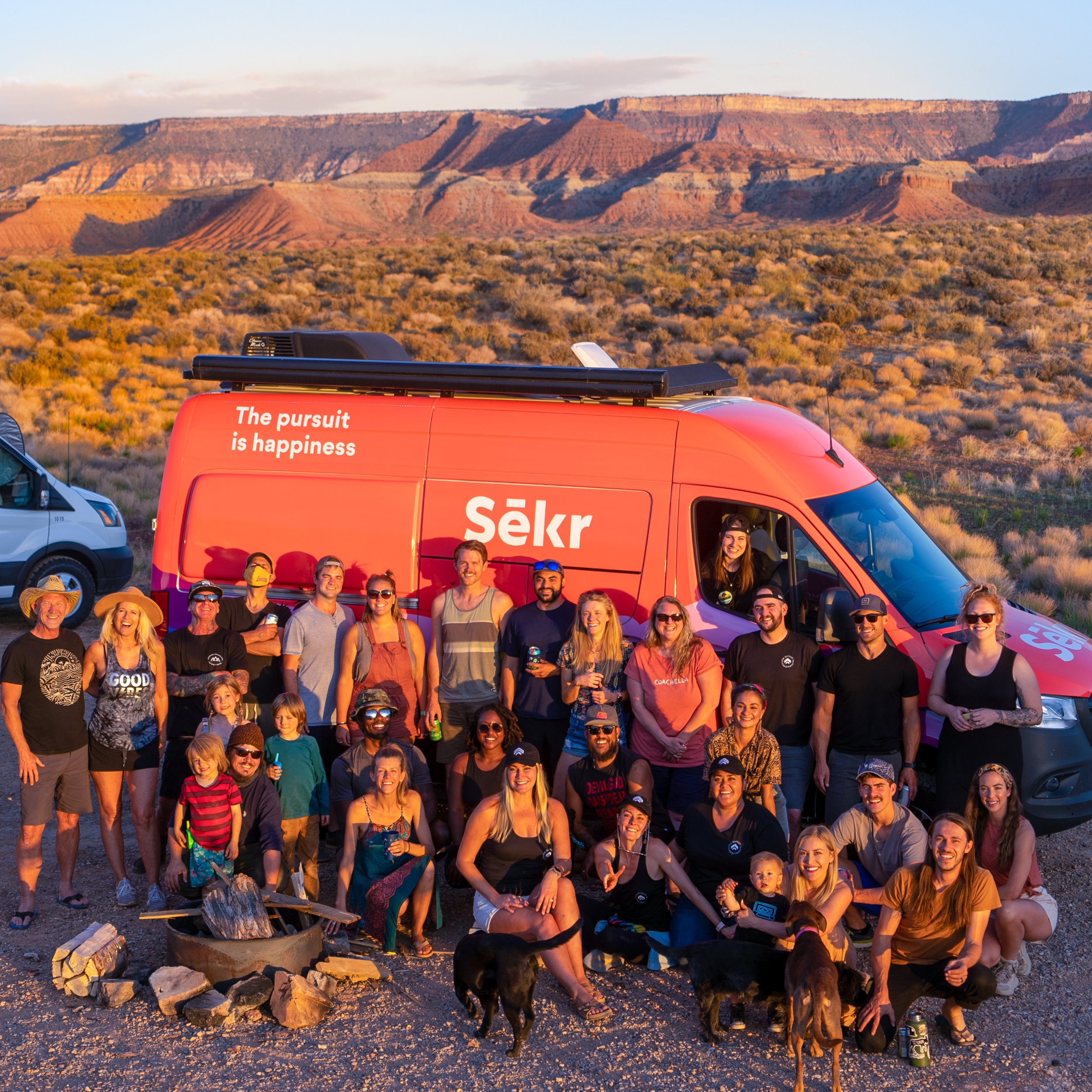
The next morning I headed towards Cedar City which by a happy coincidence took me by Cedar Breaks National Monument, a stunning “Circle of Painted Cliffs.” I really enjoyed viewing this 10,000 feet grand staircase that looks down into a half-mile deep geologic amphitheater, though I was limited to the overlook points as all the hiking trails were still closed due to the snow. Then I headed south through Toquerville and La Verkin and towards Zion where I was meeting up other overlanders for the Sēkr Kickoff Meetup in the desert along the Virgin River. About 40 people came together that evening to celebrate community, enjoy a food-truck catered meal, and participate in a “Hot Ones” spinoff that I participated in — the sauces got spicy and I made it to the end! That night was the first time I experienced the string of lights in the night sky from Starlink satellites which totally freaked some other nomads out.

The following day was prep day to get my van exhibit ready. Before heading to Washington County Legacy Park to get a good spot for the first ever VanFest, which was taking place the next day on May 8th, I went to one of those self-serve car washes in Hurricane and scrubbed my van clean since I was selected as one of their exhibiting vans. There was a small festival with live music and food trucks going on that afternoon and evening in the grass along the buildings, which many of the exhibitors enjoyed while getting to know one another and bonding. The next morning I cleaning the inside of my van, set up the back in the couch/lounge position, rolled and stuffed my memory foam mattress topper in my big storage cabinet, put all my bedding away, and oiled my counters so that my van looked perfect for the exhibition. I was really impressed with the set up — the exhibiting vehicles were in the main parking area, the sponsors in the adjoining lot, the attendees vehicles parked in rows in another section, and there was a huge stage for music with various bands throughout the whole day. I don’t know exactly how many people attended, but I do know that I had a steady stream of vanlife enthusiasts viewing my van and asking build questions, plus I enjoyed watching The National Parks band headline to a good-size audience. I learned how to ride an ebike that day courtesy of Storyteller Overland and their Super73. I also watched my first movie projected onto the side of a white van that night and witnessed a fabulous jam session with various nomadic musicians that went on late into the night. Not only did I get to hangout with some vanlife friends I’ve made in the past, but I also met some of the people I conversed with on the drop-in audio app Clubhouse, which was super cool. The whole festival was truly an unforgettable experience with some amazing people!

The day after VanFest was definitely a recovery day, hanging out with the Sēkr crew and getting to shower in their Airbnb before heading back to BLM land outside of Zion National Park to meet up with the new friends I made at VanFest that were planning to caravan around Utah. As I mentioned at the beginning of this blog post, I originally had planned to visit Zion, Bryce Canyon, Arches, Canyonlands, Capital Reef, Grand Staircase-Escalante, Glen Canyon, Moab, and Monument Valley but those plans changed because my friend bailed on me a few weeks before the trip. I figured that with this new group and some solo travel, I’d still be able to see some of those destinations, but that’s when things went a bit sideways for me.

Those of you that really know me have often heard me say that I do not like hot weather — anything over 90*F is too hot for me. It just so happened that the beginning of May 2021 was super hot and getting hotter each day I was there. My weather app was predicting high 90’s/low 100’s at every park I planned to visit (except Bryce) and 112*F temps at Grand Canyon’s North Rim. I was already having a heard time with the heat in Southwestern Utah since I arrived and the idea of even higher temps was not sitting well with me. I don’t have air conditioning in the van and I was already super lethargic on May 9th. Late that afternoon and after much deliberation, I decided to change plans and head west into Nevada and towards the Eastern Sierra in California to meet up with my best buddy Eric. I said my goodbyes and took off early that evening and headed into Southeastern Nevada to a town called Panaca that has a warm spring I found on Google Maps. Enjoying a beautiful sunset during the drive, I arrived at Panaca Warm Spring in the dark and couldn’t quite tell if it was ok to park there overnight, but I decided to park my van near a tree in the dirt off to the side and away from the street and settle in for the night.

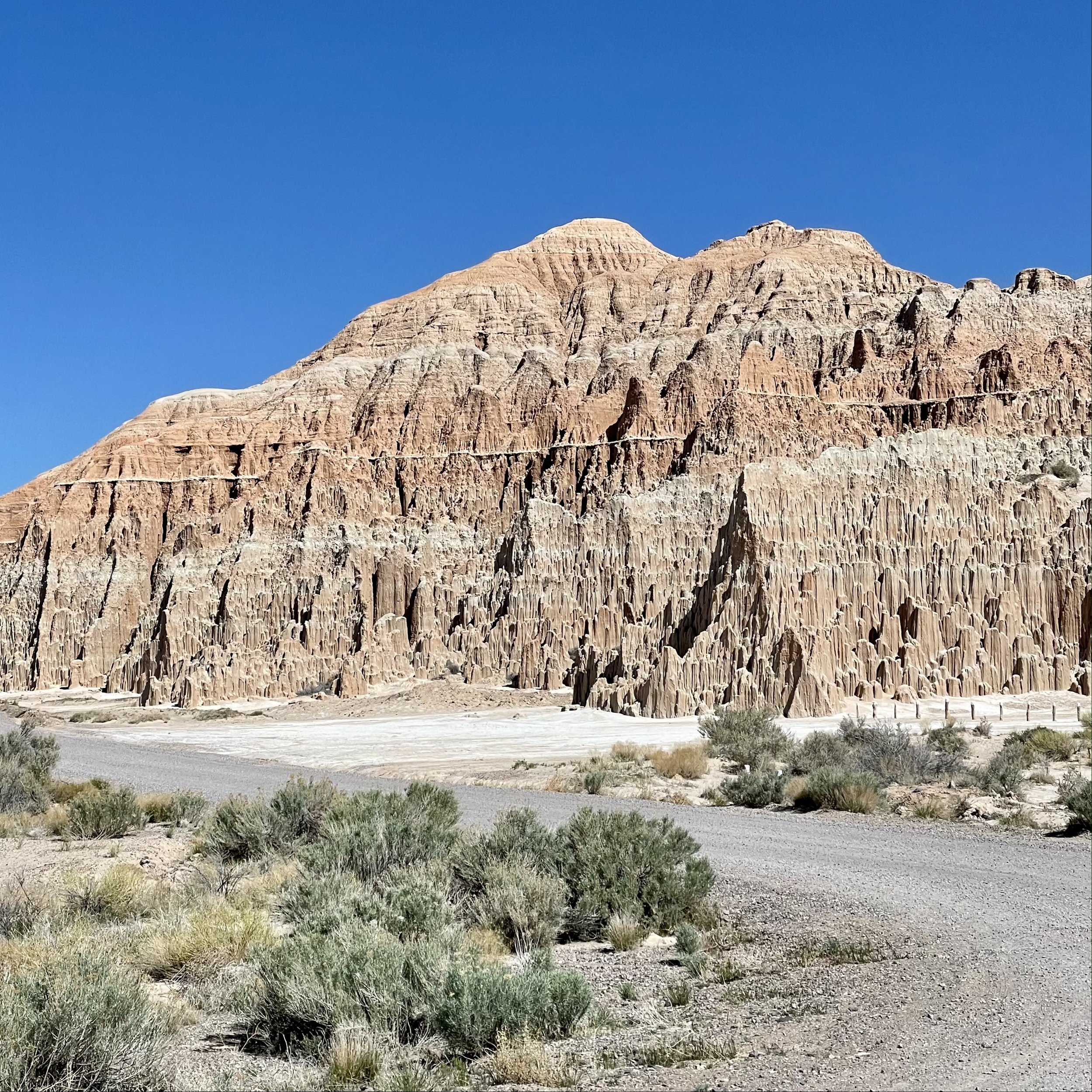
I was happy to wake up to some cooler temps the next morning. Surprisingly I was the only one there considering how nice Panaca Warm Spring is. This under-rated natural spring looks more like a pond with clear mid-80* temp water, a concrete dam on one end, and a staircase down for easy access. I enjoyed my time soaking in the temperate spring while my cat Maverick explored the vicinity. For those of you that like history, Panaca was the first permanent settlement by European Americans in southern Nevada, founded as a Mormon colony in 1864. It is one of two communities in Nevada that prohibits gambling and the only community in Nevada to be “dry” (forbidding the sale of alcoholic beverages). Having the place to myself was wonderful and the warm spring was beyond refreshing after my three days in the hot desert! I wanted to get to Mammoth quickly, so I left Panaca mid-morning and quickly drove through Cathedral Gorge State Park, a super cool spot where erosion has carved dramatic and unique patterns in the soft bentonite clay.

I headed east on Nevada State Route 375, better known as the Extraterrestrial Highway, a 98-mile stretch of road that runs alongside the famously secretive Area 51. Area 51 is the colloquial name of a highly classified United States Air Force facility that’s located within the Nevada Test and Training Range. I saw the sign that warned me that there’s no fuel along this highway, so I checked my gauge and it said I had more than twice as many miles left on my tank, so I headed into the Nevada desert. I had plans to stop in the very tiny town of Rachel and its famous cafe Little A’Le’Inn, as well as other landmarks to take photos, but what I didn’t expect to happen was tremendous headwind. About 30 minutes into the drive, I realized that my fuel range was rapidly decreasing and I started to get nervous. Driving through the desolate Nevada desert is an experience on its own without worrying about running out of fuel. The landscape is mainly mountains and joshua trees, which only grow in California, Arizona, Utah, Nevada, and Northwestern Mexico. Even though I knew there was a gas station in Rachel, I had a gut feeling it did not have diesel fuel. I decreased my speed to just under the speed limit for best fuel consumption and kept monitoring my fuel gauge and estimated miles left on the tank. Let’s just say that I watched my low fuel light come on, then a few miles before the town of Tonopah where I could refuel, the low fuel light started blinking like mad as the gauge went to zero. As this point I expected my van to stop and was prepared to walk the rest of the way to get diesel, but somehow Ardanwen my Sprinter chugged up that final ascend uphill and coasted into the first diesel station on its last fumes! I was relieved that i made it and learned my lesson to never attempt such foolishness in the future. On a side note, Tonopah is known for its rich history of silver mining and where many of the military men who work at Area 51 live.

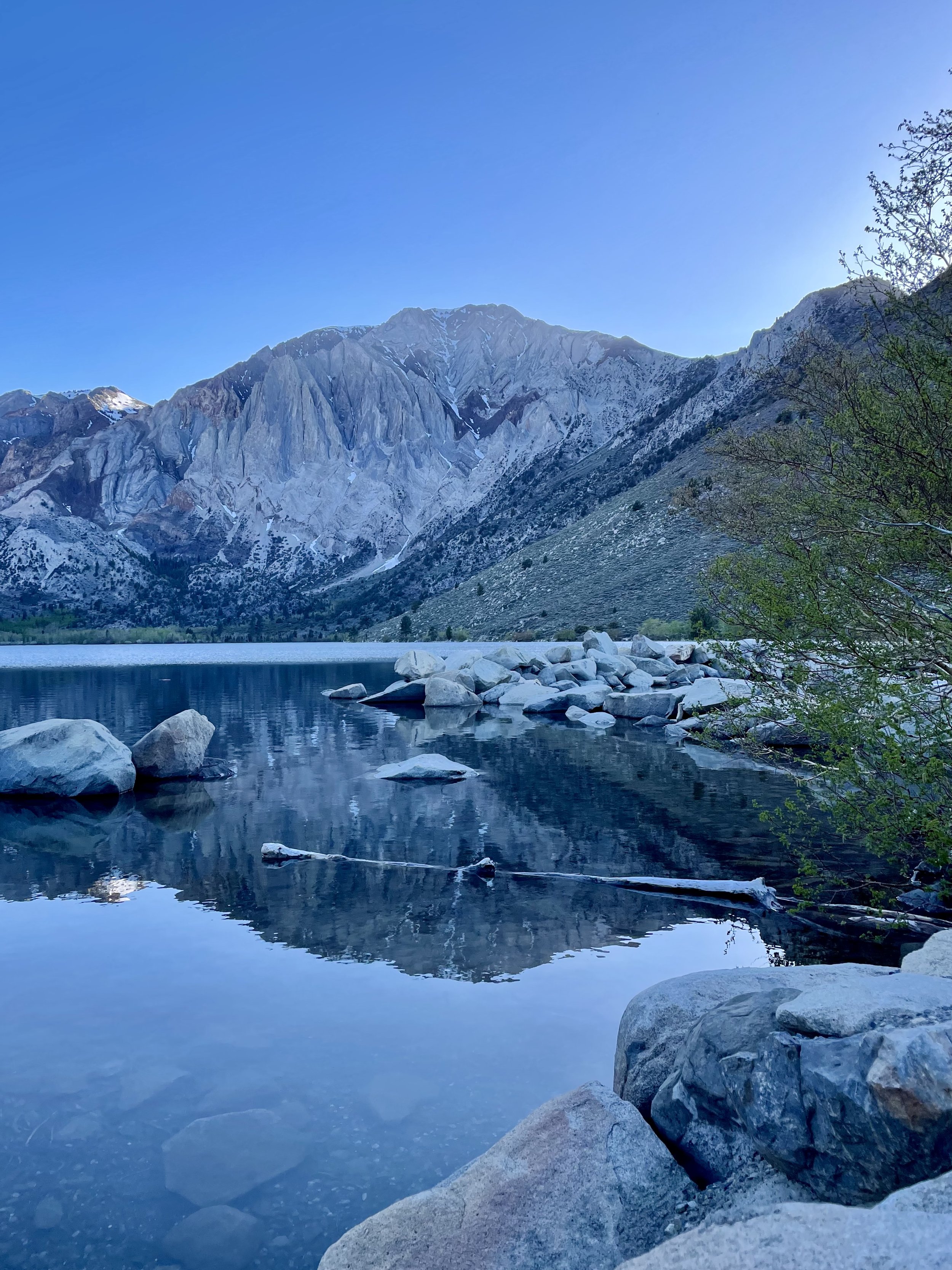
After my trek through Nevada, I finally made it to Mammonth Lakes and met up with Eric at Distant Brewing. Then we headed to Twin Lakes to explore but could only get as far as the bridge due to a road closure. We decided to head south to Convict Lake, a stunning oblong-shaped lake with turquoise-blue clear water, boxed in by the steep backdrop of the Sierra Nevada, and highlighted by the 12,241’ Mount Morrison. Convict Lake was originally carved out by glaciers, and at up to 140’ deep in some places, it’s one of the deepest lakes in the region. This lake has an interesting history that changed its name from its traditional Mono name of Wit-sa-nap by American settlers. From there, Eric and I headed to Hilltop Hot Springs for a soak, one of our favorite spots in the area. This is a popular spot and can be quite crowded as it only fits about 8 people, but luckily there was enough room for us and we joined a fun crew of college graduates already in this 2 feet deep heavenly tub. A wonderful lady named Mary joined us a bit later and we instantly became friends. Lots of laughter ensued as the whole group bonded for the next few hours, watching the sunset over the mountains in the distance. Mary decided to join me and Eric for a fire pit by our vehicles and we decided to spend the night there, even though you’re technically not supposed to.

The next day I headed north to Mono Lake, an ancient saline lake that covers over 70 square miles and supports a unique and highly productive ecosystem, I spent some time exploring the South Tufa area where some of these remarkable tufa rock formations towered over me. I continued north up CA Route 395, probably one of the most scenic highways you can travel and one of my favorites, through Bridgeport and the Walker River Canyon, past Topaz Lake into Nevada, then back into California passing by Eagle Lake and through the Modoc National Forest (with some great views of Mount Lassen), and finally into Oregon. The last stretch of driving was along Upper Klammath Lake and onto the Willamette HIghway to McCredie Hot Springs. I did what most tourists do and went to the day use area and walked along the path to Salt Creek. Turns out you need to take a different road to actually get to the hot springs which are on the other side of the river, so be sure to follow these directions if you plan to visit. Since I didn’t make it to the springs, I left after my short hike and found a cool turnoff further down the road where I spent the night next to Salt Creek under the highway.

I woke up on the 10th and last day of this road trip and headed the rest of the way home, driving past Lookout Point Lake and Dexter Reservoir (both look like places to enjoy in the future), into Eugene, and then north up I-5 through Salem and the 45th Parallel. I made quick stop in Seattle to meet another Clubhouse friend named Mark who showed me the view of the Seattle Skyline from the top of his building. Then I drove then final stretch home to Bellingham. It was an eventful journey full of new explorations and new friends that I’ll always treasure!

Comment

2 Comments

My Intro To Vanlife & 1st PNW Trip

In February 2016, I met a man named Jesse (on the dating app Bumble) who lived in a Great West Dodge Sprinter van with his cat Bandit. I was a little skeptical about a grown man living in a van, but he referred to himself as a “digital nomad” and I was curious. We met up for dinner and had a nice conversation, after which he showed me the van he moved into the month prior. It was a nice van with a kitchen, a bathroom with shower, and a comfortable bed. The curtains, textiles, and colors were a bit outdated but when I heard the price he paid, it was very reasonable. Jesse was very excited about vanlife and explained to me why he chose that lifestyle versus living in a “stick and brick” (as he called an apartment or house).

Jesse was inspired by a young Google employee who lived in a box truck in the parking lot that was getting a lot of press. With exorbitant cost of rent in the San Francisco Bay Area, he also wanted to save his hard-earned money and retire at an earlier age, which vanlife allowed him to do. The vanlife movement was just starting to take off at that time, and he was saving 80% or more of his income by not paying rent. Even though I initially had some reservations about dating a guy who lived in a van, I did understand his reasoning for the decision and really enjoyed learning about vanlife living from him.

My introduction to vanlife was local weekend getaways during which I learned what sleeping and cooking in a van was like, how to find good overnight spots, how many beautiful places there were around the Bay Area that I never knew about, and how this lifestyle really allowed you to explore and enjoy nature and the surroundings. As a travel enthusiast, I was hooked pretty quickly! A few months later, Jesse was planning a trip to Seattle for an Ayn Rand convention and asked if I wanted to go since it was during my birthday, to which I immediately said yes. Despite living the Bay Area most of my life, I had never been to Oregon or Washington, nor had I been to most of the Northern California. As you can imagine, I was super excited to see and explore the Pacific Northwest!

We set off on our week-long trip at the end of June from San Francisco towards Bodega Bay, then drove north on Highway 1 along the California coast passing various small coastal towns. For some reason, I remember passing this cute little cemetery along the highway just south of Mendocino with grave stones lined up on the cliffside bordered by tall trees and thinking what a beautiful place to be laid to rest. We found a great spot overlooking the Pacific Ocean just north of Fort Bragg, made dinner, and fell asleep to the sound of waves crashing below the cliff.

Waking up to the sound and views of the ocean is probably one of my favorite things, so that next morning was an absolute joy and a great way to start off this epic trip. We headed north to Highway 101 since the region north of Fort Bragg all the way to Eureka is mostly undeveloped without any major roads and referred to as the Lost Coast. The 25-mile-long trail through that area is a backpackers dream, though there is one road from 101 to Shelter Cove that vehicles can utilize to see a section of that coastline. Jesse and I enjoyed driving through the Avenue of the Giants near Myers Flat, then we continued north where the highway meets the ocean again and stopped in a charming little community called Westhaven-Moonstone. We spent the night at the Trinidad Northbound Rest Area, which is off the highway tucked into the forest and honestly a great place to get some rest.

On our third day, we headed north into Oregon and I was enthralled by how beautiful the coastline is! I know California is famous for Big Sur, but the Oregon coast rivals that easily, with pristine beaches and rocky bluffs for miles and miles. The Samuel H. Boardman State Scenic Corridor is probably one of the most stunning places along the West Coast! To cover a lot of distance, we drove a lot that day, all the way to Yachats, known for the Cape Perpetua Scenic Area. I had read about Thor’s Well on Atlas Obscura but we had no idea that whole area, known as Cook’s Chasm, was going to be as incredible as it was! We ended up finding this awesome little park on the highway to spend the night, which turned out to have stairs down to the beach with a river going under nice-looking bride. There was a day-use-only sign but we decided to chance it anyways, and luckily didn’t get bothered.

We continued north through Oregon all the way to Tillamook Creamery, where we stopped to grab some cheese-laden dishes and delicious ice cream, which we ate on Nedonna Beach enjoying the ocean view. We made another quick stop at Haystack Rock, which I wanted to see because of the movie The Goonies. From there we got back on the road driving over the Astoria-Megler Bridge into Washington, stopping quickly at the Dismal Nitch to take a photo of the WA sign. We worked our way up the Olympic Peninsula, decided to take a dip in Lake Quinault to freshen up (the water was super cold), and then right at dusk we luckily found a dirt turn-off on the side of the road that took us to this amazing open space on the cliffs by the ocean, where we spent the night. It was one of the most secluded, perfect spots that we could have discovered, and we had it all to ourselves.

The next morning was my birthday, so Jesse made me bacon and eggs in a smiley face on the plate. We had to get to Seattle by 3pm, therefore, we drove around the Olympic Peninsula without stopping at any of the amazing places I would have loved to see. That drive took us through Forks (made famous by the Twilight series), then along Crescent Lake (we did make a quick stop the La Poel Picnic Area to revel at this glacial lake’s incredible beauty), then through Port Angeles and Sequim, and finally all the way around to Bainbridge Island, from which we took the ferry to Seattle. It was a gorgeous sunny day and I was in awe of the Emerald City and its iconic skyline with the Space Needle! Seeing Mount Rainier in all its glory looming in the background was also quite stunning — I can see why locals talk about whether the mountain is out since the visibility of this large active stratovolcano makes a huge impact. Did you know that due to its high probability of an eruption in the near future, Mount Rainier is considered one of the most dangerous volcanoes in the world and it is on the Decade Volcanoes list?!?

Jesse forgot to buy tickets to the Ayn Rand Convention he had wanted to attend, which was sold out when we arrived in Bellevue, so our plans veered into a new direction and we decided to check out downtown Seattle instead. We stopped at a cider bar, walked around Belltown, and ended up having a fancy dinner at The Metropolitan Grill, voted the best steakhouse in Seattle. We spent the night on the streets by Ruby Chow Park, an overnight spot Jesse found on Freecampsites.net, a website many vanlifers use to find places to park. It wasn’t the most ideal location, but at least it was next to a park and away from downtown traffic.

The following morning we headed out of Seattle and passed Oxbow Park which features a 44' wide cowboy hat and 22' high boots known as "Hat n' Boots." My boss (who was from Seattle) told me prior to the trip that we had to see Snoqualmie Falls and he was right — this 270’ waterfall was majestic to see and totally worth the drive! Then we headed to Mount Rainier National Park and drove around various viewpoints to witness the enormous footprint Mount Rainier has and even caught a glimpse of a small waterfall near Paradise. We secured a campsite at White River Campground on the northeastern section of the park with the highest elevation of all three drive-in campgrounds on Mt Rainier, where we enjoyed a campfire dinner in the charming forested canopy.

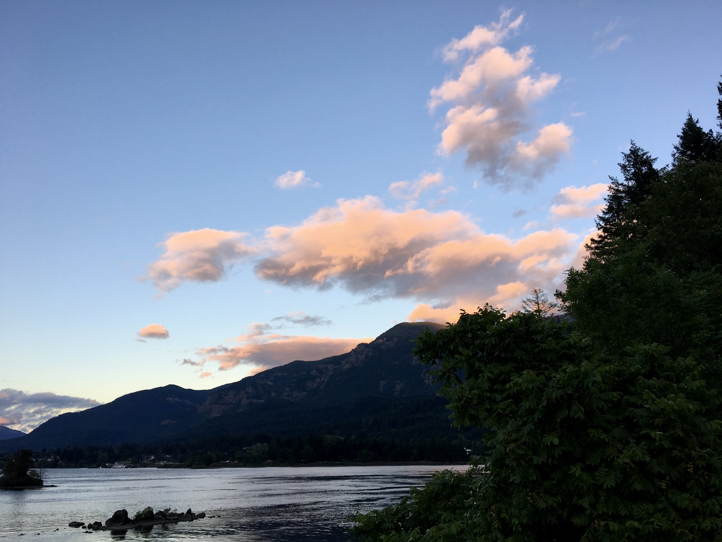
July 4th was another busy day of driving. Jesse really enjoys finding remote and unique overnight spots, therefore, we drove around the Gifford Pinchot National Forest to various spots he had saved on his phone (since there’s no service in that area) to see how viable they were to spend the night. We found some really cool places on dirt roads and along rivers which would have been ideal, but instead of staying in the area, we decided to check out Mount St Helens. Sadly the weather was a bit overcast and we couldn’t see the cratered peak that well as it was engulfed in clouds. I did enjoy seeing Spirit Lake and learning more about the eruption from all the roadside interpretive signs and how it altered the landscape. We headed further south and stopped at Swift Reservoir for a quick swim but the water so surprisingly cold considering it was July. We ended up along the Columbia River Gorge early that evening, saw the Bonneville Dam, then found a wonderful spot along the railroad tracks just west of Stevenson on the Washington side of the river. We cooked a steak dinner and watched the fireworks over Cascade Locks after a spectacular sunset.

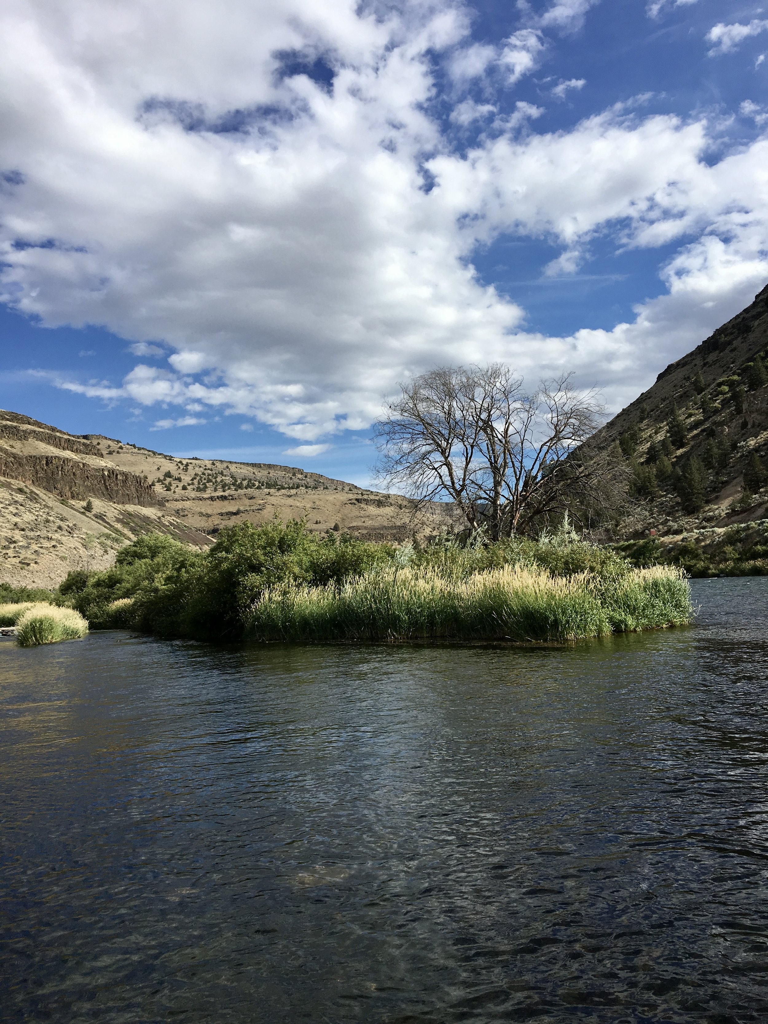
The next day we headed over the Bridge of the Gods into Oregon and stopped at Multnomah Falls, the tallest and most famous waterfall in the state. We headed into Portland for breakfast at Pine State Biscuits that a good friend of mine recommended and enjoyed their delicious Reggie Deluxe breakfast sandwich. Afterwards, we drove towards Mount Hood with a stop at Trillium Lake, which I absolutely fell in love with. I thought Oregon’s High Desert was quite fascinating as we headed through Warm Springs with a quick stop along the Deschutes River before heading into Madras. Seeing the Cascade Mountains to the west as we drove down Route 97 was quite lovely, with magnificent glimpses of Mount Jefferson, Three Sisters, and more. We ended that day at Crater Lake National Park enjoying the incredible views of this deepest and most pristine lake in the USA. We spent the night just outside the park at one of the big turnouts and were inundated with mosquitos when the sun went down — by inundated I mean that it was a mosquito blackout that you couldn’t see through, something I have never experienced before!

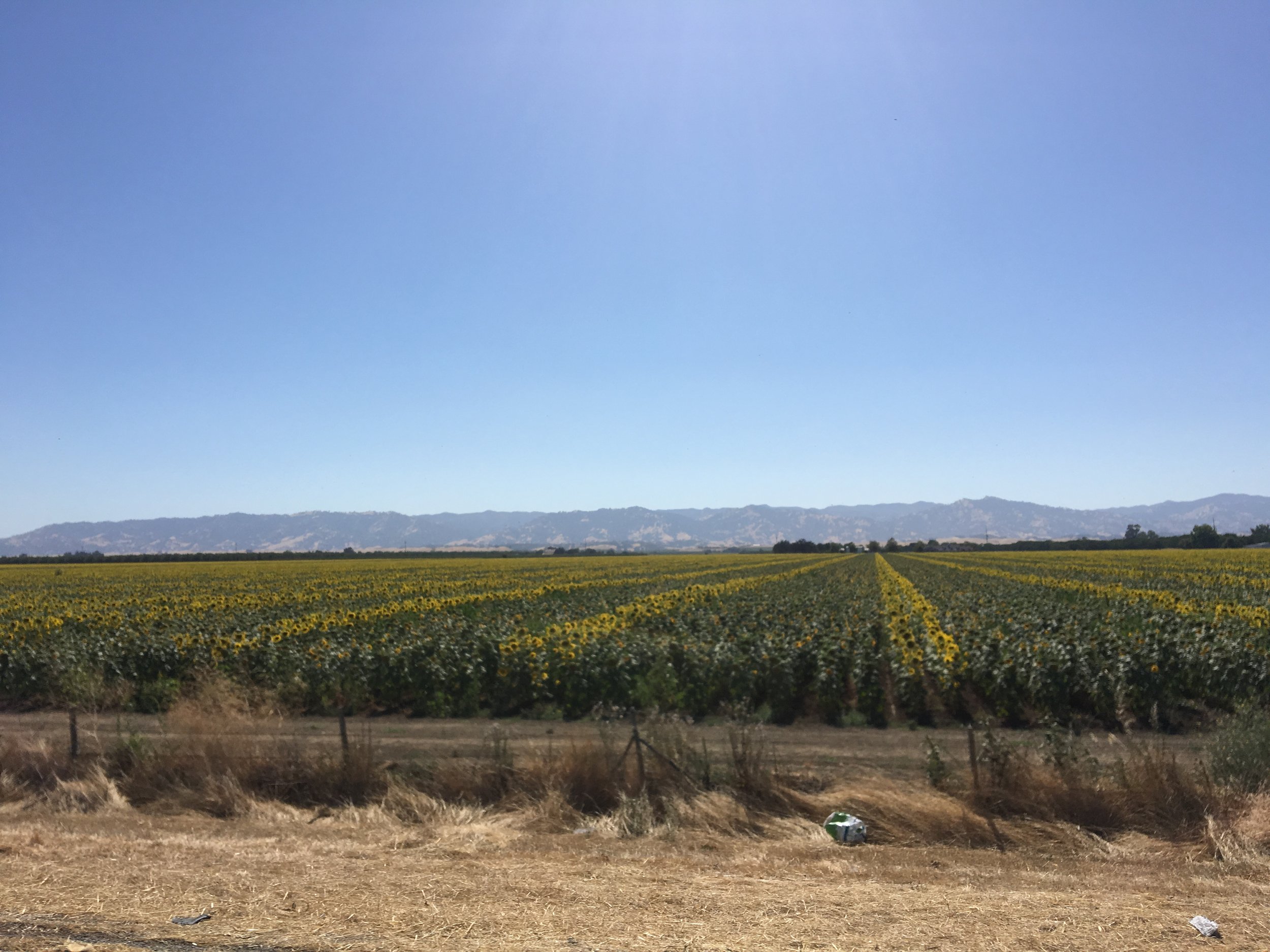
Sadly our road-trip was coming to an end so our last day consisted of us driving home from Southern Oregon into California through Klamath Falls, Weed, Mount Shasta, and Dunsmuir, with a pitstop at Lake Shasta due to heavy traffic. We found a dirt road that led to a nice spot on the Sacramento River Arm where we ate some lunch and got into the lake to cool off. We drove the final stretch home through California’s Central Valley with views of various agriculture and sunflower fields and finally made it home to the Bay Area.

It was a magical and memorable first trip to the Pacific Northwest despite the fact that Jesse and I broke up later that year. He showed me a whole new world of exploration that I had never imagined before, which left such an impact on me that I bought an RV in December 2016 and started going on solo road trips, including multiple trips to Oregon and Washington in 2017, 2018, and 2020! My life is completely different now due to vanlife so I guess I have Jesse to thank for that.

2 Comments

2 Comments

I Believe In Mermaids 🧜‍♀️

While I was camping trip at Grayland Beach State Park, I heard about the famous Westport Winery Garden Resort, winner of 2022 Washington Winery of the Year! The resort is located halfway between Aberdeen and Westport and features wine tasting, a distillery, a restaurant, the International Mermaid Museum, an expansive garden to explore, and even some lodging!

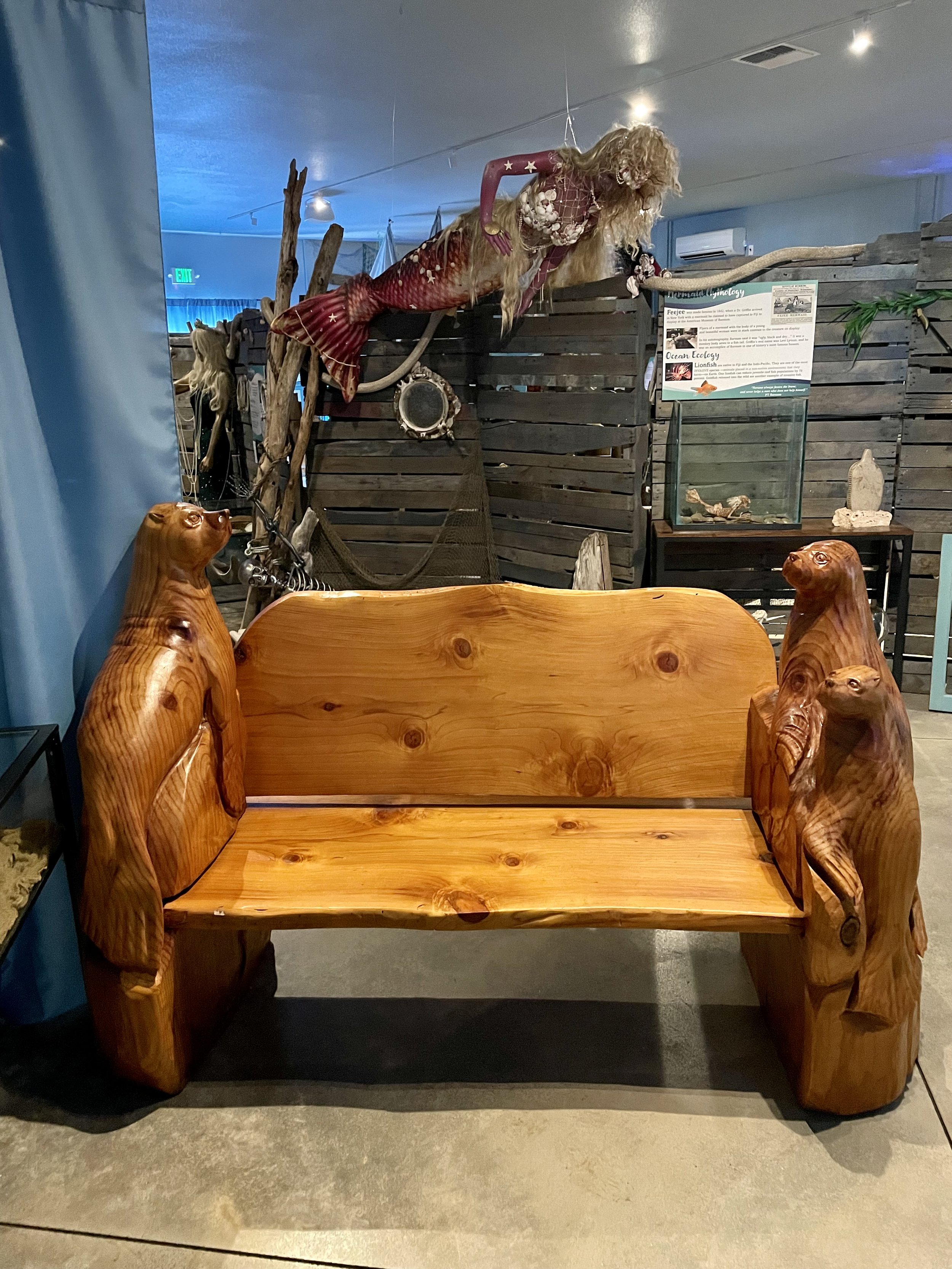
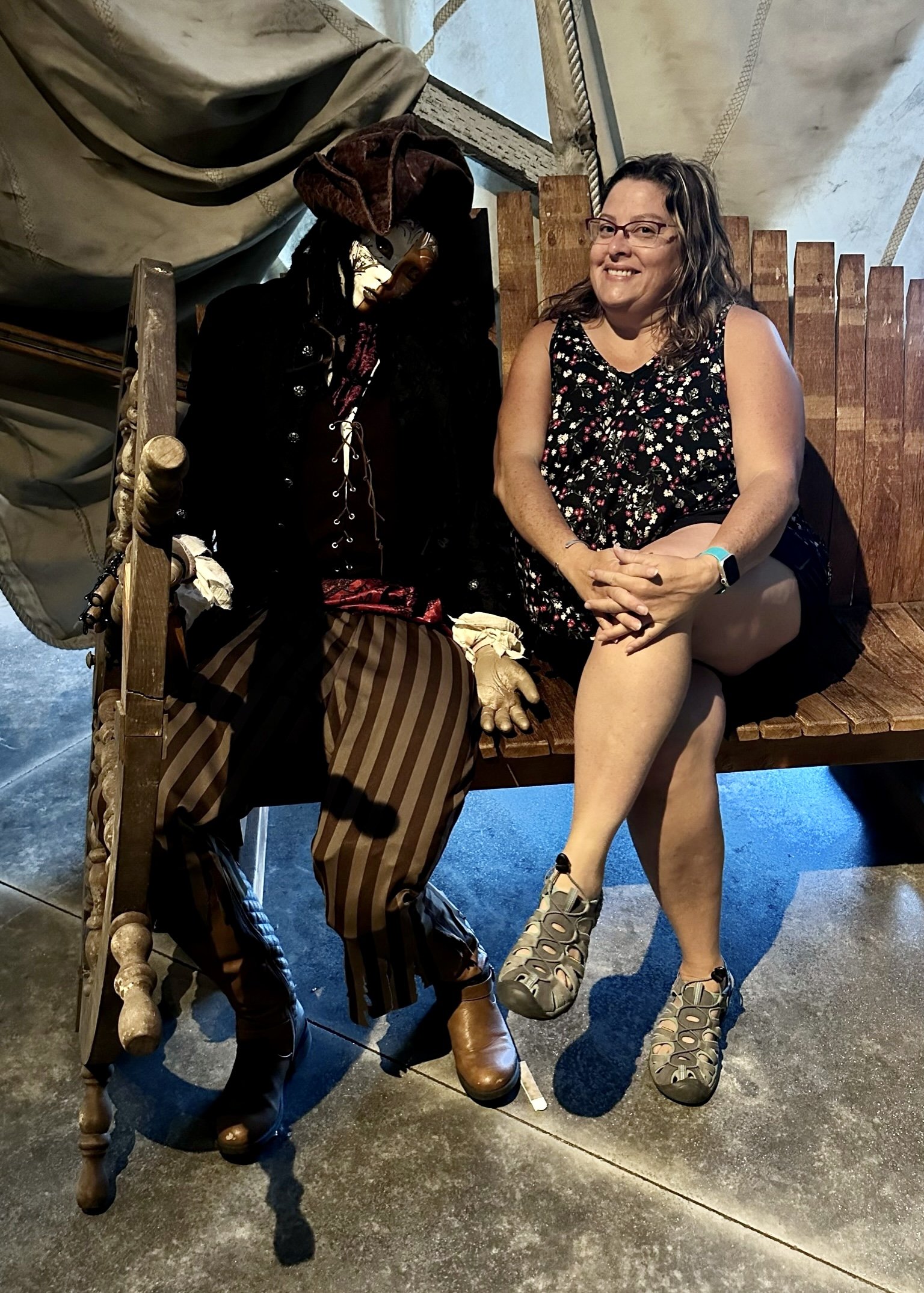
One of my first PNW friends and fellow blogger Aimee Danielson was the perfect partner-in-crime to indulge in the quirky museum as we both identify as mermaids, so I was glad she joined me on this trip. The Mermaid Museum costs only $3 for adults and is totally worth the adventure of learning about ocean ecology from “seashore to sea floor” and getting immersed in mermaid lore which all oceanic countries have. I particularly enjoyed reading all the mermaid mythology signs that were tastefully done with folklore tales and tied in to real oceanic facts. In addition to mermaid culture throughout the ages, there are also displays of physical artifacts, such as cannonballs from historic ships, hag stones, coral reefs, and king crabs. No museum experience would be complete without various mermaid and mermen statues, which despite being a bit kitschy, Aimee and I made the most of it, having a blast posing with them.

My favorite part of their mission statement is, “Mermaids in storytelling encourage people to see the undersea environment, not just through the lens of marine life, but through the view of humans in the underwater world, thus helping them better understand the importance of clean oceans, the sea as a living environment, and the reality of ocean exploration as one of the last great adventures on earth.” I feel like the museum really accomplished this and I found the whole experience fascinating, fun, and informative! I also really enjoyed their outside gardens that had some very impressive mermaid statues and creations, so be sure to walk around and explore the whole compound to get the full experience.


After exploring the Mermaid Museum and spending some money in their elaborate gift shop, Aimee and I headed to winery next door so I could do some wine tasting. I went with a recommended tasting of red wines by one of their knowledgeable tasting room associates. Not only did I enjoy their wines, but I also loved how articulate and entertaining their one-line tasting notes are with a recommended musical pairing, which I found to be a brilliant idea! I tasted the Smoky Nor’wester Merlot/CF/CS blend, the True Blue Malbec, the Nirvana GSM blend, the Bella Sangiovese, and the Surfer Syrah. My favorite was surprisingly the Smoky Nor’wester as I don’t generally love Merlot, but it was a very bold and smooth wine and I couldn’t resist to buy a bottle. Just to give you an idea of their wine tasting notes, the Nor’wester is “like fireworks in the sky or a good spanking” and you should enjoy it while listening to “Perfect” by Ed Sheeran. I’m ready for those fireworks, the spanking, and some good pop music when I drink that bottle!! A tasting of five wines is generally $10 but if you buy a bottle, the fee is waived. The bottle prices are reasonable in the $30-$38 range and each one benefits a regional organization. I’m actually considering becoming a wine club member as I was quite impressed with their brand of red wines. After all, Westport Winery is the number seven top platinum winning winery in the Pacific Northwest!

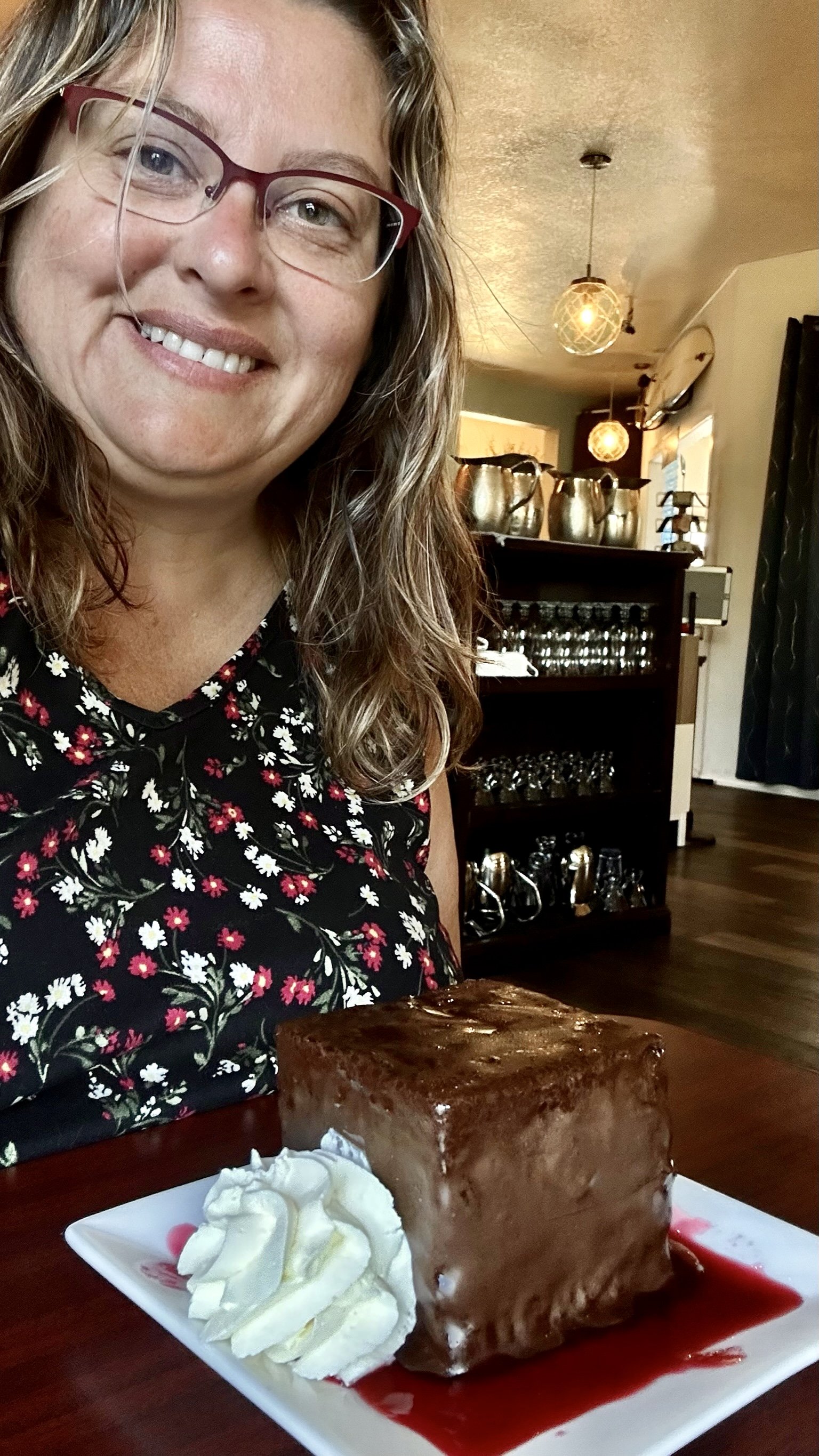
Aimee and I also stopped by the Sea Glass Grill because we heard their desserts are phenomenal. We each had their Homemade Ding Dong, a dark chocolate cake with chantilly cream, chocolate couverture and raspberry coulis, and it was fantastic! We really should have shared one because they are pretty big and super rich, but no worries, we took our uneaten halves and ate them later that night. Next time I come here, I plan to eat a whole meal at their grill because it all looked delicious!

Check out my friend Aimee’s blog about our mermaid adventure together and the Starbuck logo evolution. Aimee is an avid blogger and has a lot of experience traveling around the PNW, so I recommend following her adventures, plus you can download a FREE e-book on Washington State Parks!


My dreams of being a mermaid may come to flourish in 2024 when the Mermaid Festival hits the museum! I plan to be there some time between Saturday, April 6 through Sunday, April 14 to experience everything this 9-day event has to offer, including Northwest’s famous Una the Mermaid, Olive the Alchemist (founder of the Seattle Mermaid School), Vertical Axis performers Nick Perry and Amanda Thornton, Pacific Northwest Unicorns, Rachel the Sailing Siren, Mermaid Pockets of What Dwells Beneath, Pirate Cliff, and so much more! Who wants to join me in this all-ages celebration of the sea?

Check out my blog post on Mermaid Mythology & Ocean Ecology, as learned from International Mermaid Museum.

2 Comments

Comment

Grayland Beach State Park & Westport

This August I was supposed to go camping in the North Cascades National Park right next to Diablo Lake at Colonial Creek South Campground. As some of you may know, getting a sought after campsite can be like getting concert tickets in which you have to get up at 6:55am and select the site you want and click add to cart and checkout at the right time in order to get the booking. It took me 7 attempts back in February to get one of two van accessible sites closest to the lake! Due to the Sourdough Fire that started on July 29th by a lightning strike, my camping reservation was canceled in mid-August as the area was evacuated and SR-20 highway was closed. Luckily there is this awesome PNW Campground Trading group on Facebook and I found a great replacement camping trip at Grayland Beach State Park in the Southwest part of Washington and a spot I haven’t explored yet.

I arrived in Grayland on Sunday August 13th in the late afternoon after a long, sweltering, 5 hour drive through some gridlock traffic during the historic heatwave that hit the Pacific Northwest. There was some relief in the heat along the Pacific Ocean, but it was still in the 70’s when I arrived to my campsite. I enjoyed a nice stroll to the sandy beach and put my legs in the cool ocean water, which felt good after sitting in the van for so long. I had hoped that the campsites were close to the ocean, but it’s actually a good 10-15 walk to get to the ocean-front. I watched the sun set into a bright orange glaze as there were no clouds to light up the sky any further. For those who wonder about the name, the town of Grayland and the state park were named for Captain Robert Gray, an American sea captain who “discovered” all the harbors now named for him, including nearby Grays Harbor.

Did you know that you can drive onto many of the beaches along the Pacific Ocean in Southern Washington State? I discovered this last year when I was visiting Seaview on the Long Beach Peninsula. There were quite a few cars on Grayland Beach while I was there, which reminded me that there are vehicle-friendly beaches in the area. Make sure you deflate your tires a bit if you’re in a van, or that you have 4WD/AWD, plus it can’t hurt to carry GoTreads or other traction boards in case you get stuck. Be sure to follow the WDFW rules so you avoid razor clams and snowy plovers when driving onto beaches!

During my stay, I went to check out Westport, the surfing capital of Washington and a cozy seaside town. I checked out the Westport Maritime Museum located in the historic Coast Guard station building that was built in 1939 and showcases exhibits on the maritime history of the South Beach. I particularly enjoyed their outdoor natural history exhibit that features sea mammal skeletons, including a large gray whale, a blue whale skull, sea lion, and harbor porpoise. There’s also a scale-model of the former Coast Guard station and lots of historical exhibits of shipwrecks, rescue operations, and the whaling and fishing industries. The biggest highlight is the magnificent Destruction Island Lens which was installed in the lighthouse in 1891 on Destruction Island (north of Westport near Kalaloch) and operated until 1995.

After exploring the museum, I headed to the waterfront to have a bite to eat and ended up enjoying a delicious sandwich at Westhaven Wines, a specialty wine bar and bottle shop located dockside in Westport's Marina District. I also enjoyed a red wine tasting with my meal and ended up buying two lovely bottles, a 2020 David Finlayson Cab and a 2019 Powers Syrah. Then I headed to Westport Light State Park to explore Half Moon Bay and Westhaven Beach. After enjoying the beach time and walking on the cliffs, I headed by the Grays Harbor Lighthouse, which was sadly closed so I only got to take some photos. One thing I planned to do but forgot about was to climb up the Westport Viewing Tower to see the 360* view.

My friend Aimee Danielson joined me for the second half of my camping stay at Grayland Beach State Park and we had a blast visiting the International Mermaid Museum and Westport Winery, so stay tuned for that post coming soon! I also recommend reading Aimee’s blog about the seaside town of Westport as she’s explored this area many times and has some great tips about clam digging. She’s an avid blogger and has a lot of experience traveling around the PNW, so I recommend following her adventures, plus you can download a FREE e-book on Washington State Parks!

One final note — Aimee and I ate brunch at Blue Buoy and absolutely loved their Eggs Benedict! If you’re ever in the area, we both highly recommend this friendly, family-owned restaurant.

Comment

Comment

The Trip That Changed My Life

As many of you know, I decided to pack up my life in California back in Fall of 2020 and move to the Pacific Northwest. I had been wanting to move out of California for awhile, mainly because I didn’t love the heat and traffic, but I was so established there between friendships, work, and my house that moving seemed like a lot of work and a little scary. I always heard that once you move out of California, it’s hard to move back, especially if you sell your house. Then in August 2020, Silicon Valley was hit with a huge dry lightning storm that caused some of the biggest fires in California history. For two weeks we had an orange apocalyptic sky with bad AQI that ended up affecting the whole West Coast, with smoke moving across the whole country! Between the fires and the increased amount of summer days over 100*F, I was over the heat and smoke, so I went on a 5 week road trip to Oregon and Washington to see where I would want to live.

For some reason, I never made it to the PNW until 2016, despite living in California most of my life. The guy I was dating that year took me on a vanlife road trip to Oregon and Washington, which is when I discovered how much I liked those two states. I kept visiting and exploring them over the next few years in my RV and enjoying my time there, making them viable choices of where to live next. I also considered moving to the Central Coast of California, somewhere near Pismo Beach. I went on this month-long road trip with another female vanlifer named Cory whom I met at a few vanlife gatherings over the years. She also wanted to leave the Bay Area and move to the PNW. We started the journey on September 24th and worked out way north to Fort Braggg, through the various Redwoods in Northern California, and even stopped at Moonstone Beach.

I originally figured I’d find the perfect beach town in Oregon as I’ve always wanted to live by water. Brookings was a front runner prior to the trip, mainly due to being right at the California border and having a lot of sunny days compared to other oceanside towns. One concern I had though was health care in these small beach towns as they don’t have the same amenities as big cities, which aren’t exactly that close. I did enjoy my time in Harbor and Brookings, but there was a heatwave hitting California and Southern Oregon with 90+* temps that made me reconsider the idea of moving to a place that was still quite hot at the beginning of Fall. I also heard from some newer locals I met who had moved there that finding a house was hard since not much inventory was available. One family had been looking for a year and still hadn’t found a house that was worthwhile. Cory and I decided to drive further north to get away from the heat and continue to see what towns were more favorable.

After a nice stint on the Oregon coast with stops in Bandon, Florence, Coos Bay, Yachats, Newport, Tillamook, Manzanita (another town that topped my list), and Astoria, we worked out way inland along the Columbia River Gorge on the Washington side to Skamokawa for riverside camping, and then even further inland to Graham where Cory had some friends that hosted us with a gorgeous view of Mount Rainier. From there we headed to Alki Beach in West Seattle, but the weather turned gray and misty, plus we spent a restless night along the waterfront due to traffic and noise. Cory needed to get her Roadtrek serviced near Seattle for a few days, so we parted ways and I headed north to Bellingham to visit a friend from high school who always spoke very highly of this small city near the Canadian border.

What I didn’t realize at the time was how this part of the trip would change my life forever. I literally FELL IN LOVE WITH BELLINGHAM! I had the best four days exploring this idyllic bayside city that feels like a big town. There are no high rise buildings, no traffic, lots of parks, waterfront trails, a beautiful waterfall, and the huge 13 miles long Lake Whatcom only 10 minutes from downtown. The weather was sunny and between the bay, the lake, and the mountains, I just felt like I was home. Bellingham has a European feel to it and there are a lot of outdoor activities to enjoy without having to drive far. It’s a haven for hiking, kayaking, paddle-boarding, boating, fishing, mountain biking, and even skiing and snowboarding at Mount Baker. I also took a day trip to Anacortes, which is a charming island town close to the San Juan Islands, and Deception Pass State Park. I hired my friend’s real estate agent with hopes of finding a house with lake or sunset view in the Bellingham vicinity before I left.

After my incredible days in Bellingham, Cory and I met up again and headed south to Bay View State Park for some camping, meeting up with another vanlifer whom I met on Instagram named Cameron. Then after a stop at Snoqualmie Falls, the three of us headed to the Olympic Peninsula to spend a few days in Sequim, known for its lavender, game farm, and lots of water and mountain views. Sequim is a small town of 30K people (if you count the greater surrounding area) and is often referred to as the “Blue Hole” because it is in the rain shadow of the Olympic Mountains and stays sunnier than most of the Puget Sound area. There are still some occasional drizzles of rain, but those led to seeing lots of rainbows!! Cory and I met with a real estate agent and got familiar with the different regions of Sequim and I even found a house on sale that appealed to me. I made an offer on it, but was beaten by a much higher cash offer. Turns out one of the founders of Descend on Bend lives in Sequim, so I spent one night at their place enjoying the sunset view and bonding with the family. My days in Sequim were quite lovely, making it my second choice to move to.

Cameron, Cory, and I parted ways after Sequim. Cameron headed to spend time with a friend of his in Port Angeles, Cory headed to Oregon’s wine country, and I headed further west and then south on the Olympic Peninsula to explore Lake Crescent, Marymere Falls, and the Hoh Rainforest, all of which are located in the Olympic National Park. It was a wet and rainy few days, therefore, I headed back inland to McMinnville, Oregon, for some wine tasting in sunny warm temps. From there, I worked my way south with a stop in Corvallis for cider tasting, and then west to Highway 101 to take the scenic, mostly ocean-front drive south with quite a few stops in the Samuel H Boardman Scenic Corridor just north of Brookings. The moment I crossed the border and saw the “Welcome to California” sign, my heart sank, which is when I knew the time for me to move was official — I no longer wanted to live in California.

I got home on October 30, 2020, and packed up the 10% of my belongings I wanted to keep in 2 weeks. I had an estate sale on November 21st. The following week I had friends and acquaintances take whatever they wanted from what was left, and then the weekend after Thanksgiving, I made a Craigslist post for people to grab whatever they wanted from the garage. I had very little left for donation and dump runs, and then my house was cleaned, staged, photographed, and went on the MLS on December 4th. I had so many offers the following day that I went under contract on the 5th. That’s how quick the process was, a little over a month and I no longer owned property in California! The crazy part was that I hadn’t found a house yet in Bellingham nor Sequim, so I started looking for a rental and found one just outside of Bellingham. Then the day after I closed escrow on my California house, this beautiful modern house near Lake Whatcom in Bellingham went on the market. It was everything I ever I wanted style wise, so I bid on it sight unseen, though my Bellingham friend did go look at it for me and gave me his approval. The sellers didn’t want a bidding war so they took my offer and I went under contract with a mid-February close. I was able to stay in the California house I just sold until January 21st, then I stayed at my friend’s ranch until I moved to Washington on February 1, 2021.

That Pacific Northwest vanlife trip was the best decision of my life. Many of my Bay Area friends didn’t understand my urge to pack up and move in such a short time frame, but for me it was the right decision. I just had a gut feeling that I needed to start over somewhere fresh with a healthier lifestyle. Was it a bold move with some risk involved? SURE! But I also knew that if by chance I didn’t love living in Bellingham, I could always move after two years and find another place. I also knew to trust my instincts and they told me that living in Washington was just what I needed. My instincts were right! Turns out I absolutely love where I live, that the Pacific Northwest climate, landscape, scenery, and lifestyle really suit me, and I’ve never looked back. Sometimes I even wish that I moved here when I was younger because I feel so at home now.

I always encourage everyone to FOLLOW YOUR DREAMS. Moving can be scary, especially when you’ve lived somewhere most of your life, but moving can also be SO REWARDING! I can honestly say I live a much healthier lifestyle, enjoying nature, exploring new places, camping, hiking, kayaking, spending time outdoors, all things I was not doing in California. The heat and the traffic kept me from exploring and made me lethargic. I can no longer imagine living in a big city. I finally live near water like I’ve always wanted, I even live in the forest. Plus I love that I can be completely immersed in nature feeling like I’m far from civilization within 5 minutes of my house. So if you’re reading this and you’ve been feeling the need to change your life, I encourage you to go for it, even if it seems scary or impossible. You are the the only person that can change your quality of life and make it better. JUST DO IT, take the plunge!

A quick closing note. Cory also ended up finding her retirement place on this caravanning trip. She moved to Florence, OR, about a year after I moved. She’s also super happy with her decision!

Comment

Comment

Camping With A Chance Of Drinking

CampingSign.jpg

At the end of August, my favorite ladies and I went on another Pinecrest camping trip, our favorite place we go to every summer.

It was a little smoky due to all the fires burning in California but overall a fun 5 days of time at the lake with friends. There were a lot less people than in July, so the beach wasn’t crowded and the campground wasn’t full. The weather was perfect, not too hot nor cold.

As usual, I swam in the lake every day and my cat Maverick hung out in his backpack on the beach with us. Due to less activity of people and dogs, Maverick actually went on walks with me near the beach and did really good exploring.

My friend’s son learned how to climb up my van’s side ladder and enjoyed hanging out on my roof rack. He was so happy up there that he climbed up daily. You’ll see him chillin’ up there in the van photos.

Last time I was at Pinecrest I decided to go skinny dipping in the lake late at night. I enjoyed it so much that I did it again this time! There’s something exhilarating and very freeing being in the lake naked and alone in the darkness of night. The moonlight and stars just add an ambiance you don’t feel during the day; the water looks slick black, almost like oil, and feels refreshing against the skin. I’m pretty sure that late night skinny dips are a new tradition.

More photos from the camping trip up on my Instagram!

Comment

Comment

Baker Beach

BakerBeach.jpg

My final stop on my Highway 1 trip was Baker Beach, a place I’ve never been to despite living only an hour away! Stretching a mile below the rugged cliffs on the Presidio’s western shoreline, Baker Beach’s spectacular views of the Golden Gate Bridge and the Marin Headlands are unsurpassed. I enjoyed walking along the beach on this beautiful sunny day and let the water crash over my feet.

The views really are amazing so I’m not sure why it took me so long to visit this place. But for some reason, driving to San Francisco always seems so tedious to me, especially with Bay Area traffic. But now that I’ve been here, I know I’ll come back to enjoy it again.

For those of you that appreciate history, Baker Beach is part of the 160 acres (65 ha) property that was settled by John Henry Baker in the 1850s and was known as Golden Gate Milk Ranch back then. Sadly, his widow Maria lost the property to foreclosure in 1879 after his death in 1863.

From 1986 to 1990, the north end of Baker Beach was the original site of the Burning Man art festival. In 1990, park police allowed participants to raise the traditional large statue but not to set it on fire, since the beach enforces a limit on the size of any campfires. Subsequently, Burning Man events have taken place in Black Rock Desert, Nevada.

The northern section of Baker Beach is "frequented by clothing-optional sunbathers," and as such it is considered a nude beach. So keep that mind if you’re planning to visit!

Check out more pics on my Instagram!

Comment

Comment

Golden Gate Bridge & Battery Spencer

GoldenGate.jpg

The Marin Headlands is a hilly peninsula located just north of San Francisco across the Golden Gate Bridge. The entire area is part of the Golden Gate National Recreation Area and is famous for the views of the Bay Area, especially of the Golden Gate Bridge. Even though I don’t live far from there, I haven’t been to this area since I was a child, so I decided to check out the headland and get some of those fabulous shots of the bridge, especially since the weather was perfect.

The Marin Headlands is also the site of a number of historic military settlements fortifications, including Battery Spencer, which back in the early 1900s was one of the main protection points for the San Francisco Bay. It featured multiple 12″ guns that were operated by the military and a few buildings for housing the generators and shells. Today it’s just a piece of history that you can walk around and enjoy, as well as capture those iconic photos of the Golden Gate Bridge, the San Francisco skyline, the Bay Bridge, Alcatraz, Farallon Islands, Angel Island, and the East Bay.

The Golden Gate Bridge is a suspension bridge spanning the Golden Gate, the one-mile-wide (1.6 km) strait connecting San Francisco Bay and the Pacific Ocean. The bridge is one of the most internationally recognized symbols of San Francisco and California and was initially designed by engineer Joseph Strauss in 1917. It has been declared one of the Wonders of the Modern World by the American Society of Civil Engineers. The Frommer's travel guide describes it as "possibly the most beautiful, certainly the most photographed, bridge in the world." At the time of its opening in 1937, it was both the longest and the tallest suspension bridge in the world, with a main span of 4,200 feet (1,280m) and a total height of 746 feet (227m).

See more of the incredible photos I took in my Instagram post!

Comment

Comment

Rodeo Beach

RodeoBeach.jpg

I decided to check out the Marin Headlands as my last stop on my Highway 1 trip. I never knew about this wonderful beach called Rodeo Beach in the Golden Gate National Recreation Area. This unique beach is just 2 miles north of the Golden Gate Bridge and is largely made up of coarse, pebbly chert grains, both red and green in color. Interesting fact is that its mineral composition sets it apart from every other beach in the state!

Rodeo Beach is characterized by a spit of around 50 meters (164 ft) width at the mouth of a long embayment, known as Rodeo Lagoon. For much of the year the lagoon is cut off from the ocean, making the beach spit a baymouth bar.

There’s a cool bridge one has to walk over to get to the dark, pebbly sand, which gets really hot from the sun. You definitely need to wear shoes to not burn your feet! I strolled from the bridge to the ocean, walked around a bit, and then headed back out because it was very busy with people and really hot out which was amplified by the dark colored sand. I’ve read that it’s a popular surfing spot, although there’s a risk of shark attacks.

Check out more photos in my Instagram post!

Comment

Comment

Muir Beach Overlook

MuirBeachOverlook.jpg

Muir Beach Overlook is part of the Golden Gate National Recreation Area, just south of Stinson Beach on Highway 1 and north of the Golden Gate Bridge. Not only does this cliffside park have some beautiful sweeping views of the Pacific Ocean and the coastline, but it also provides a glimpse into our wartime history.

Muir Beach Overlook contains several historic base-end stations. From these stations, soldiers viewed ships and triangulated the distance, speed, and direction of these ships in coordination with different stations. These stations were mostly important for artillery units stationed on the coast to attack any invasion. They gained particular importance during World War II immediately after the bombing of Pearl Harbor when many in California feared San Francisco or Los Angeles would be the next target. These stations became obsolete when radar technology took over. A few of them remain open like ruins where you may enter them to get somewhat of a perspective of the soldiers who were stationed there.

On clear days you can see San Francisco but there was a little bit of cloud cover so I could only see the Sutro Tower in the distance (photo 7). You also get a slight view of Muir Beach (photo 3) and you can see the top of Mount Tamalpais (photo 4, top right peak). The last photo is the large scale tactile topographic model which I thought was quite cool! It’s a beautiful place to visit with an iconic staircase that leads to the small overlook on the cliff. I highly recommend it if you’re ever in the area!

Check out my Instagram post for more pics!

Comment

Comment

Mount Tamalpais State Park

MountTamalpaisStatePark.jpg

On the last day of my Highway 1 road trip, I drove from Bodega Bay down along Tomales Bay, through Point Reyes National Seashore, to Stinson Beach. I tried to park to check out the beach since I’ve never been, but due to the sunny weather it was super packed, so I gave up and moved on.

I drove a bit further and found a nice pull-out along Mount Tamalpais State Park to take a break at. Maverick climbed up a tree while I took some photos and ate some lunch. From there I continued to conquer my fear of cliffside driving until I hit the Muir Beach Overlook. More on that in my next post!

Check out more photos of the coastline and Maverick climbing the tree!

Comment

Comment

Spectacular Sunset At Wright's Beach

WrightsBeachSunset.jpg

I had the pleasure of enjoying one of the most spectacular sunsets while I was on my Highway 1 road trip at Wright’s Beach!

After a day of mostly gray foggy skies along the whole coast from Fort Bragg to Bodega Bay, the marine layer finally lifted at the perfect time to a beautiful blue sky and a magical sunset of bright orange hues. There were a few streaks of clouds hanging low over the ocean which that led to some wonderful captures as the sun dropped through them and sunk in a lovely red haze into the horizon!

For more photos, check out my Instagram post!

Comment