

After my time at Descend on Lost Sierra, I headed north to Lassen Volcanic National Park on May 31, 2021. Did you know that Lassen Peak is the largest plug dome volcano in the world and the southernmost volcano in the Cascade Range? Lassen Volcanic National Park is also one of the few areas in the world where all four types of volcano can be found—plug dome, shield, cinder cone, and stratovolcano.
I enjoyed the drive through the volcanic landscape with hopes that I could hike the Bumpass Hell Trailhead and witness the largest hydrothermal area in the park. Sadly the trail was still closed due to the snow, making this the 2nd time I haven’t had the pleasure of seeing the 16 acres of boiling springs and mud pots, hissing steam vents, and roaring fumaroles up close! The first time I came to Lassen in 2018, this 3-mile roundtrip trail was closed for maintenance, so it looks like I’ll have to come back to Lassen again to conquer this trail and see the volcanic activity from the new boardwalks.
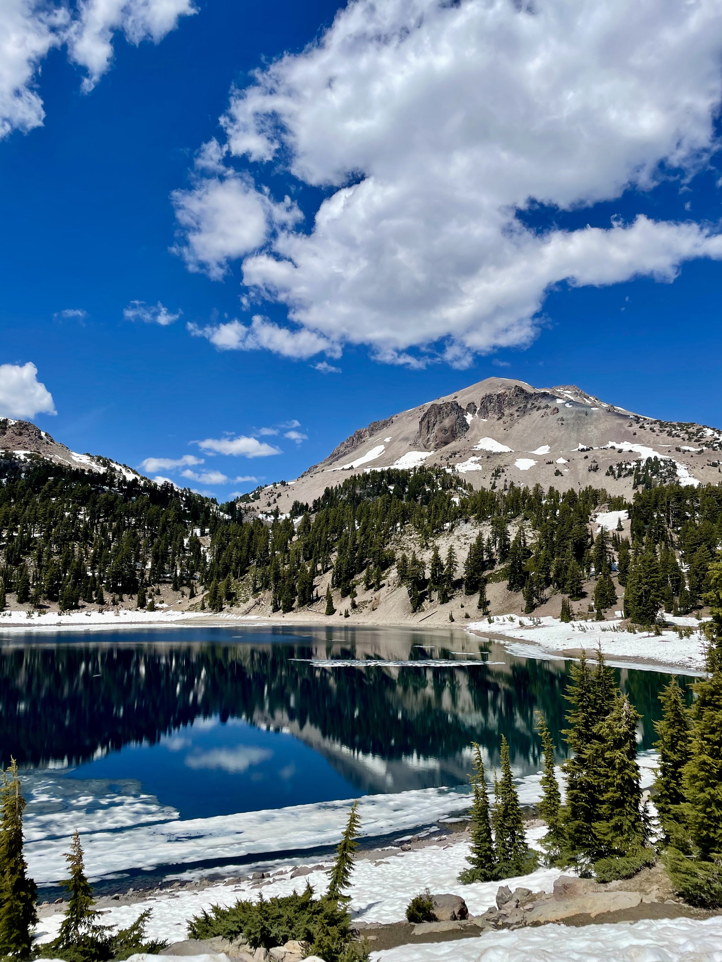
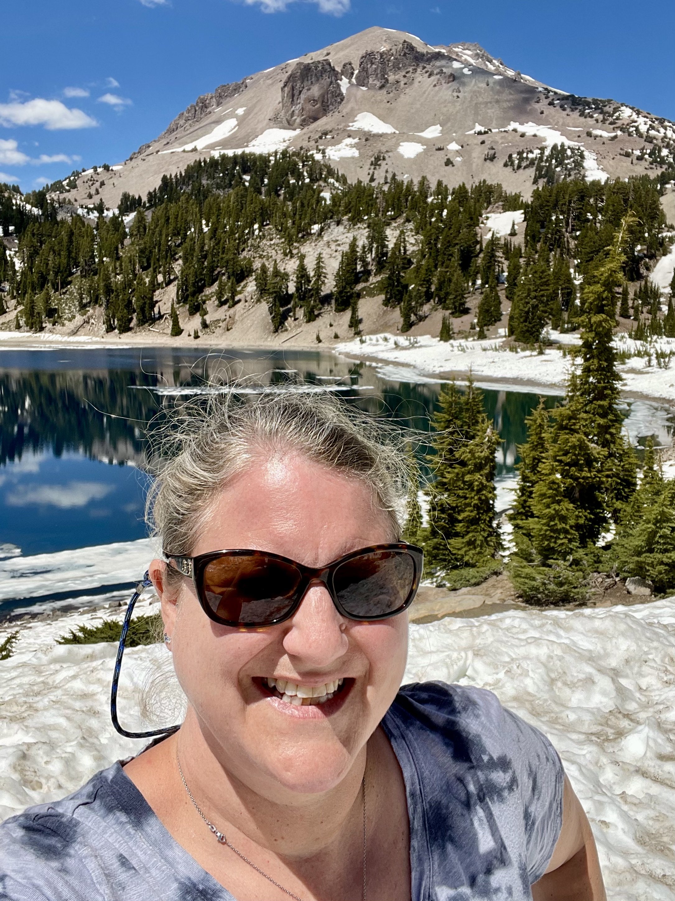
As you drive through this amazing national park from the Southwest entrance to Northwest entrance, you get stunning views of Mt Diller, Brokeoff Mountain, Eagle Peak, and Mt Lassen, as well as Reading Peak and Hat Mountain. The snow on the ground and the blue sky with some puffy clouds made for a great background really capturing the beauty of all these incredible peaks! I made it a point to stop at Emerald Lake and Lake Helen at the base of Lassen since these two icy lakes often reflect the mountain peaks and trees perfectly. Lake Helen is a glacial lake or a tarn occupying a cirque, an amphitheatre-like valley formed by glacial erosion, and its incredible blue color comes from the unique mineral content of the lake. Since the lake is at a high elevation at around 8,200 feet, the lake is frozen and covered in deep snow for most of the year from around October/November until July/August despite being over 100 feet deep. While Lake Helen is deep and blue, Emerald Lake gets its green color from vegetation that grows in its shallow waters. Some day I plan to hike the 5-mile hike to the top of Lassen Peak but I wasn’t eager to do it in snow that day.


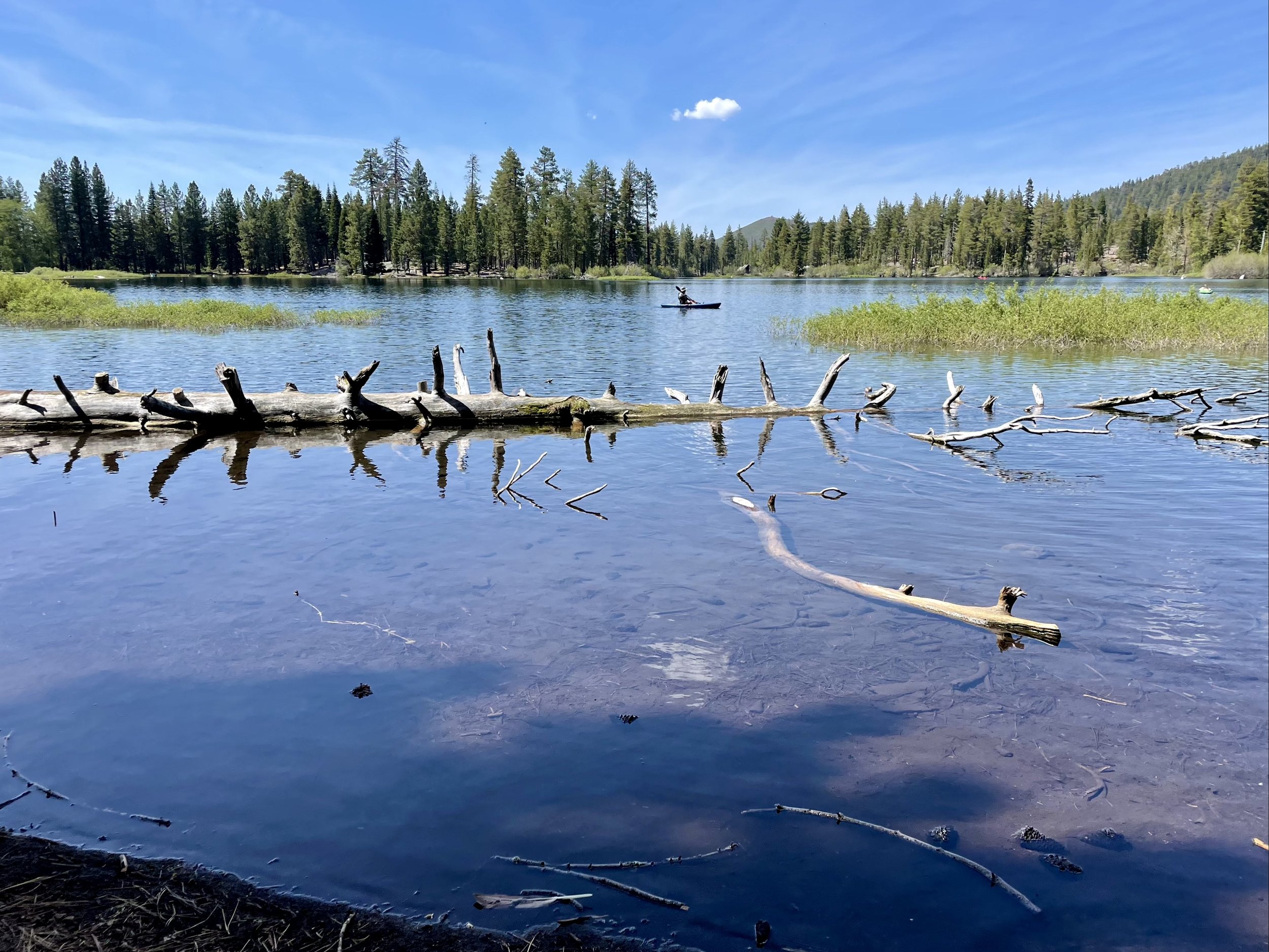
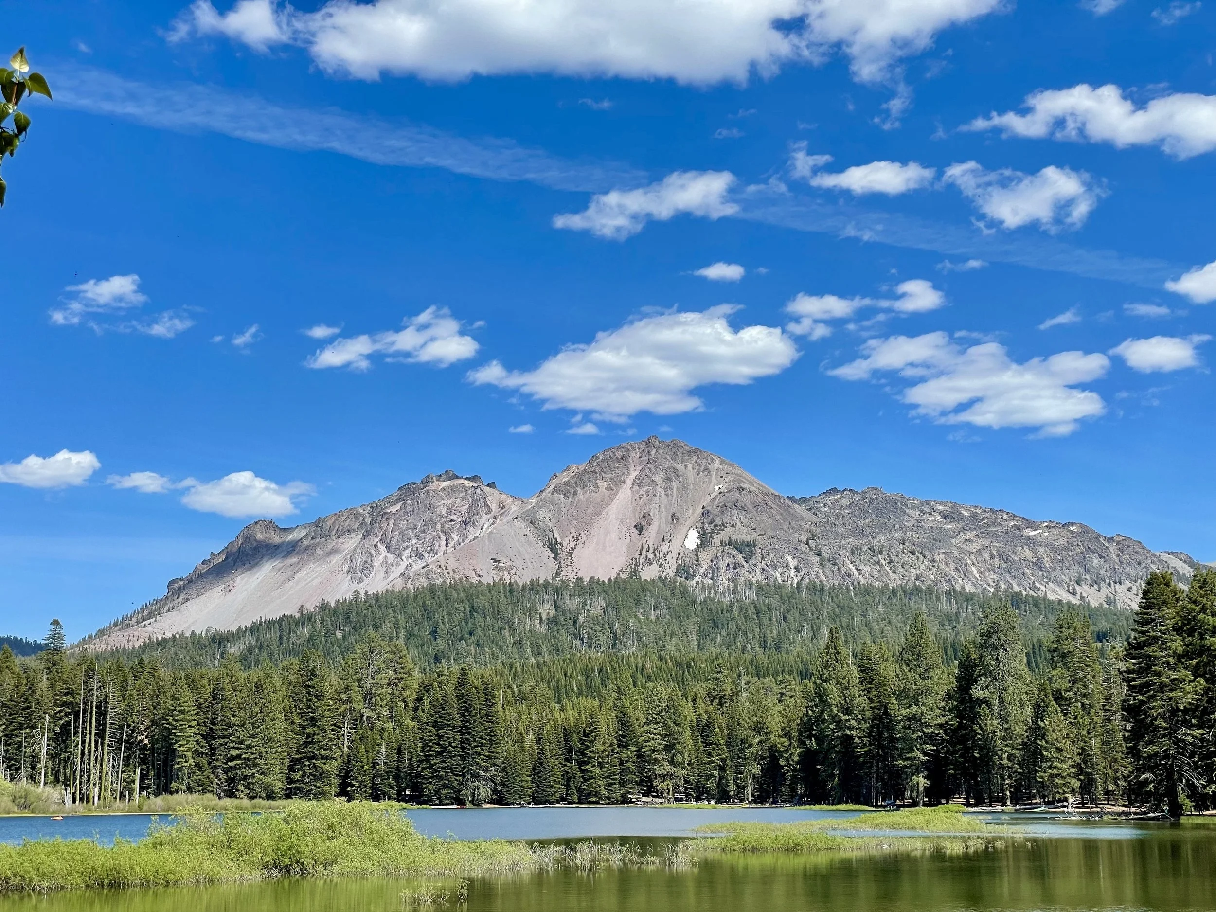
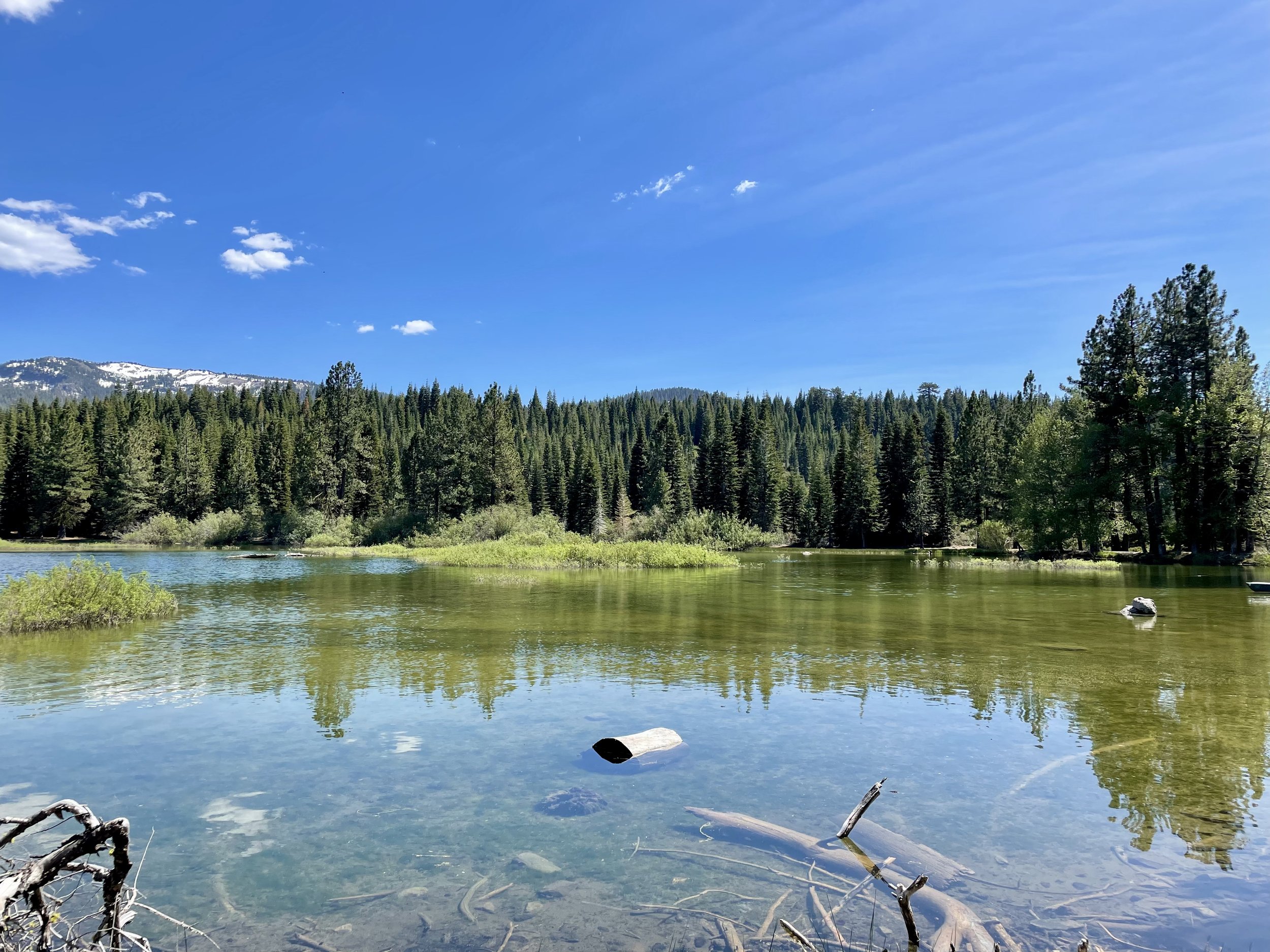
I was excited to get to Manzanita Lake on the north end of the park as it’s one of my favorite lakes to hike around! This 1.6-mile trail around the lake has so many wonderful views that I took lots of photos to capture its beauty on this warm spring day with deep blue skies and some white puffy clouds. Manzanita Lake is one of the most photographed lakes in Lassen and the centerpiece of the park’s main visitor area. It’s also a great place to camp with 179 campsites near the lakefront. After my stroll around the lake, I took advantage of being the only one at the Chaos Crags viewpoint, another great place to stop in this amazing volcanic park. These crags formed as six dacite domes 1,100-1,000 years ago, one dome collapsing during an explosive eruption about 70 years later. The eruptions at the Chaos Crags mark one of just three instances of Holocene activity within the Lassen volcanic center.


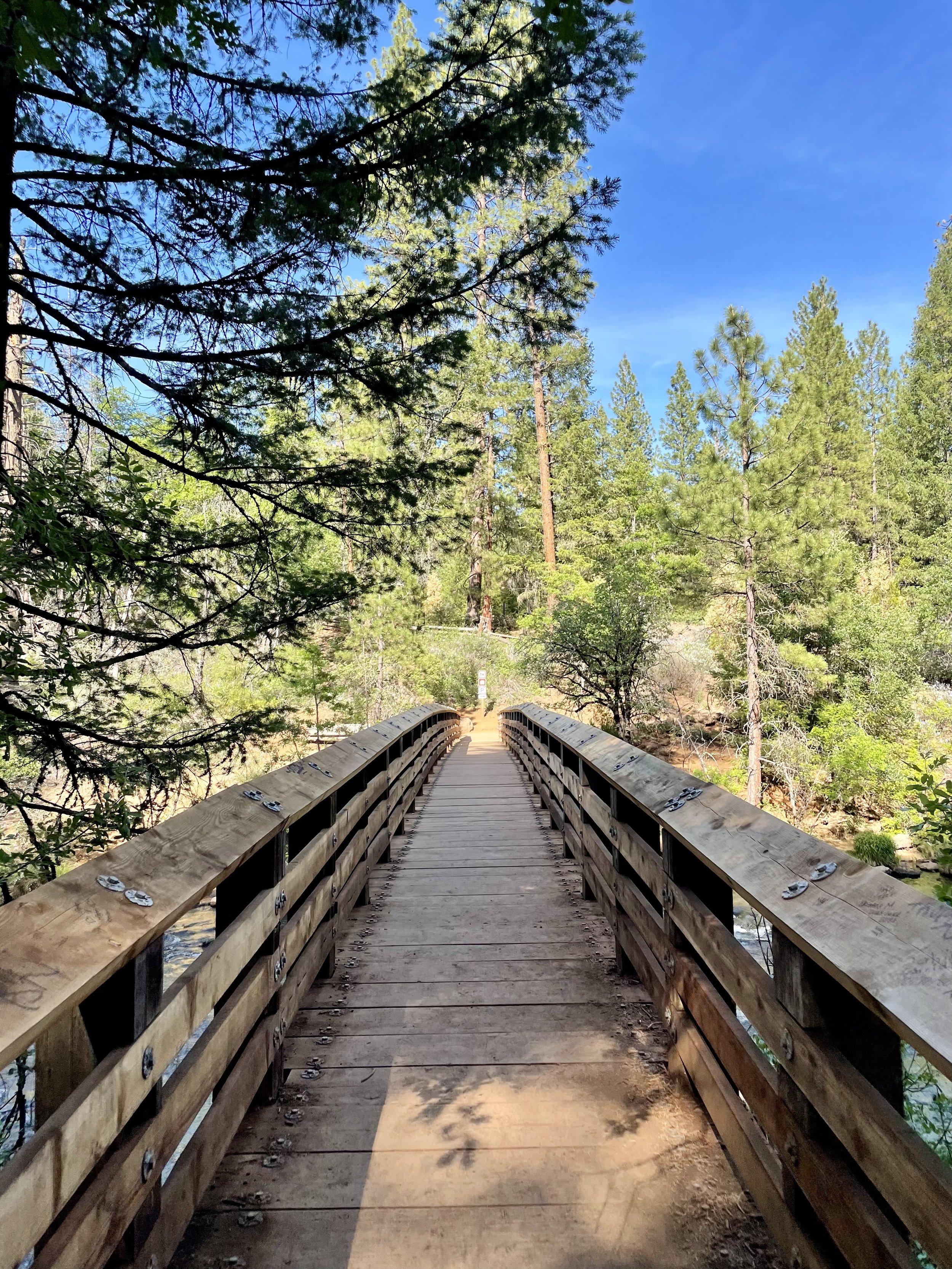
My time in Lassen came to an end so I drove to one of my other favorite spots in Northern California and possibly the most beautiful waterfalls I’ve seen in my adult life — Burney Falls! Located in the McArthur-Burney Falls Memorial State Park, this 129-foot-tall, fern-draped cascade of water seems to come out of nowhere. The water comes from underground springs above and at the falls and provides an almost constant flow rate of 100 million gallons (379 million liters) per day, even during the dry summer months. It’s no wonder 26th President Teddy Roosevelt dubbed it “the eighth wonder of the world”! Every time I come here, I dip into the clear icy pool of water which never goes much above 42*F. Considering it was in the high-90’s that day, I really enjoyed the cold water and soaked in the incredible views. Burney Falls is an outstanding example of a waterfall and stream fed by large springs that are commonly associated with areas covered by recent lava flows, and also of a waterfall formed by the undercutting of horizontal rock layers. The soft white rock is diatomite and its presence is evidence that a very large lake once filled the region and supported abundant tiny freshwater plankton called diatoms. Interesting fact for you, the trail to Burney Falls that runs over Burney Creek also hits the Pacific Crest Trail.


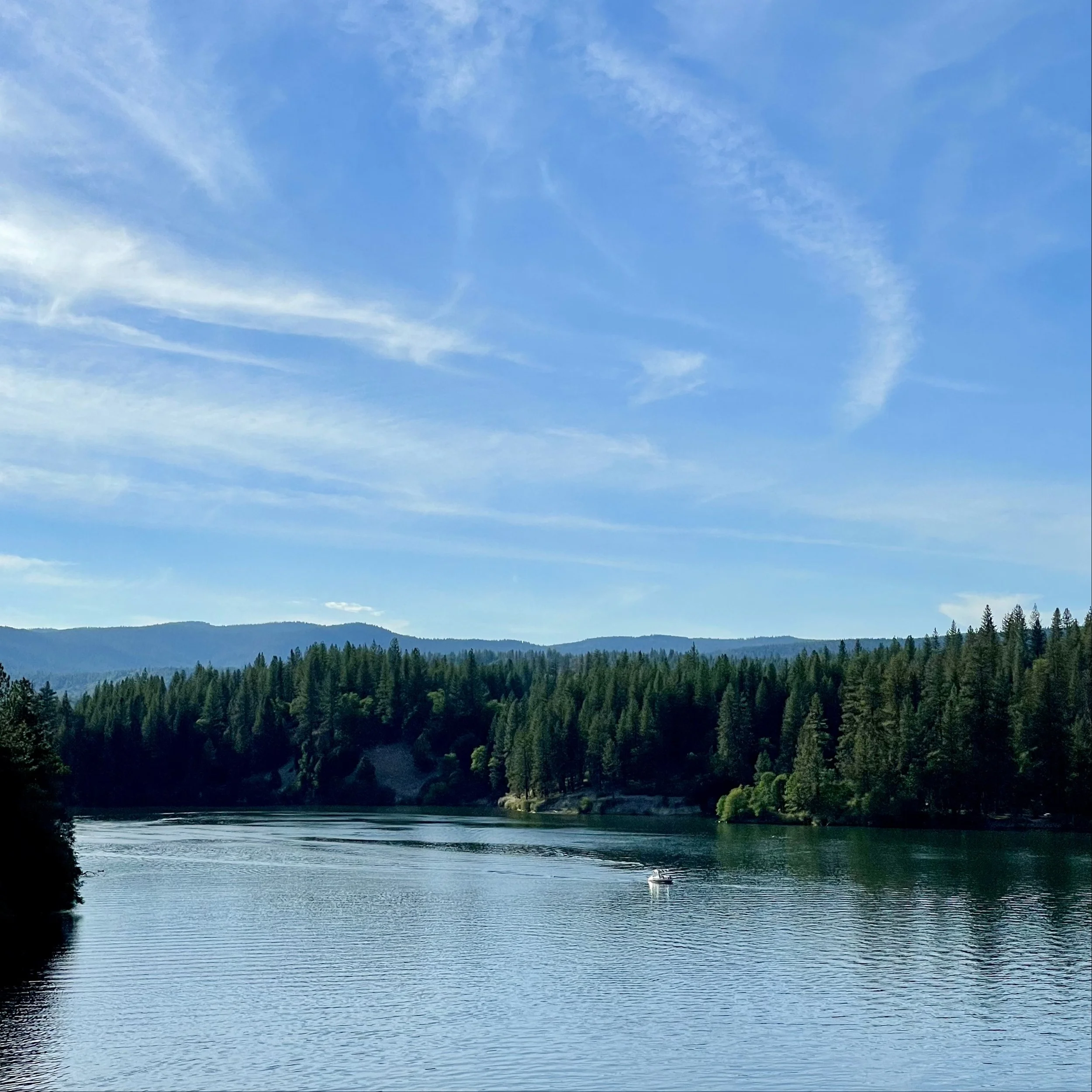
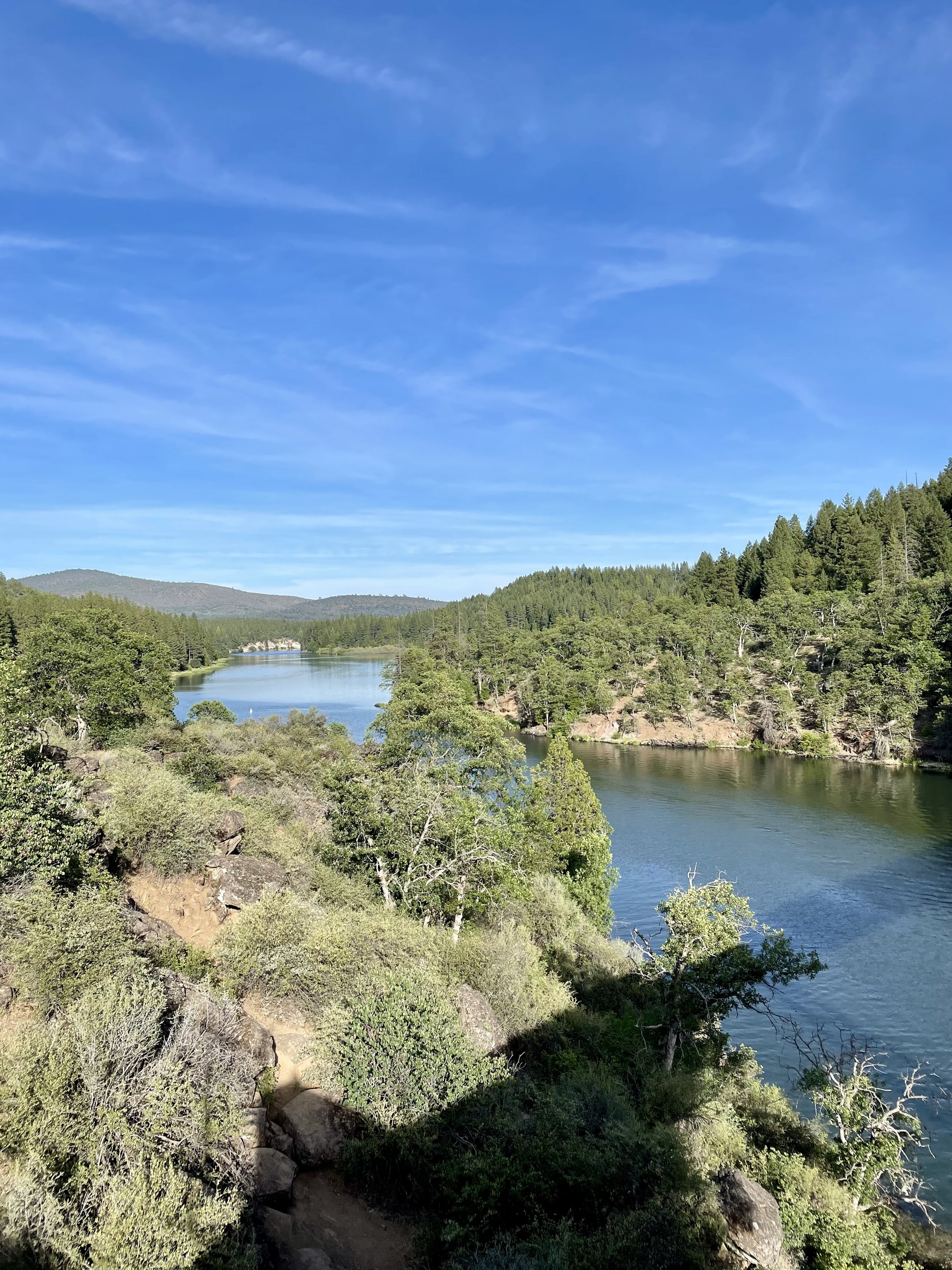
Later that afternoon, I headed past the Lake Britton Bridge, the old railroad trestle shown in the 1986 movie “Stand By Me” and took a quick photo of the dilapidated trestle. The bridge was built in 1955 on the McCloud River Railroad, primarily a logging railroad. The steel bridge is 450 feet long and is about 75 feet above the waters of Lake Britton. The bridge has now been stripped of rails and is no long in use and there is a blockade placed in front to restrict access after a Reno man was killed jumping off the bridge. This part of the Burney branch was operational until 2005. I’ve always admired the water below and plan to camp along the northshore of Lake Britton at some point to enjoy paddling around this beautiful reservoir.


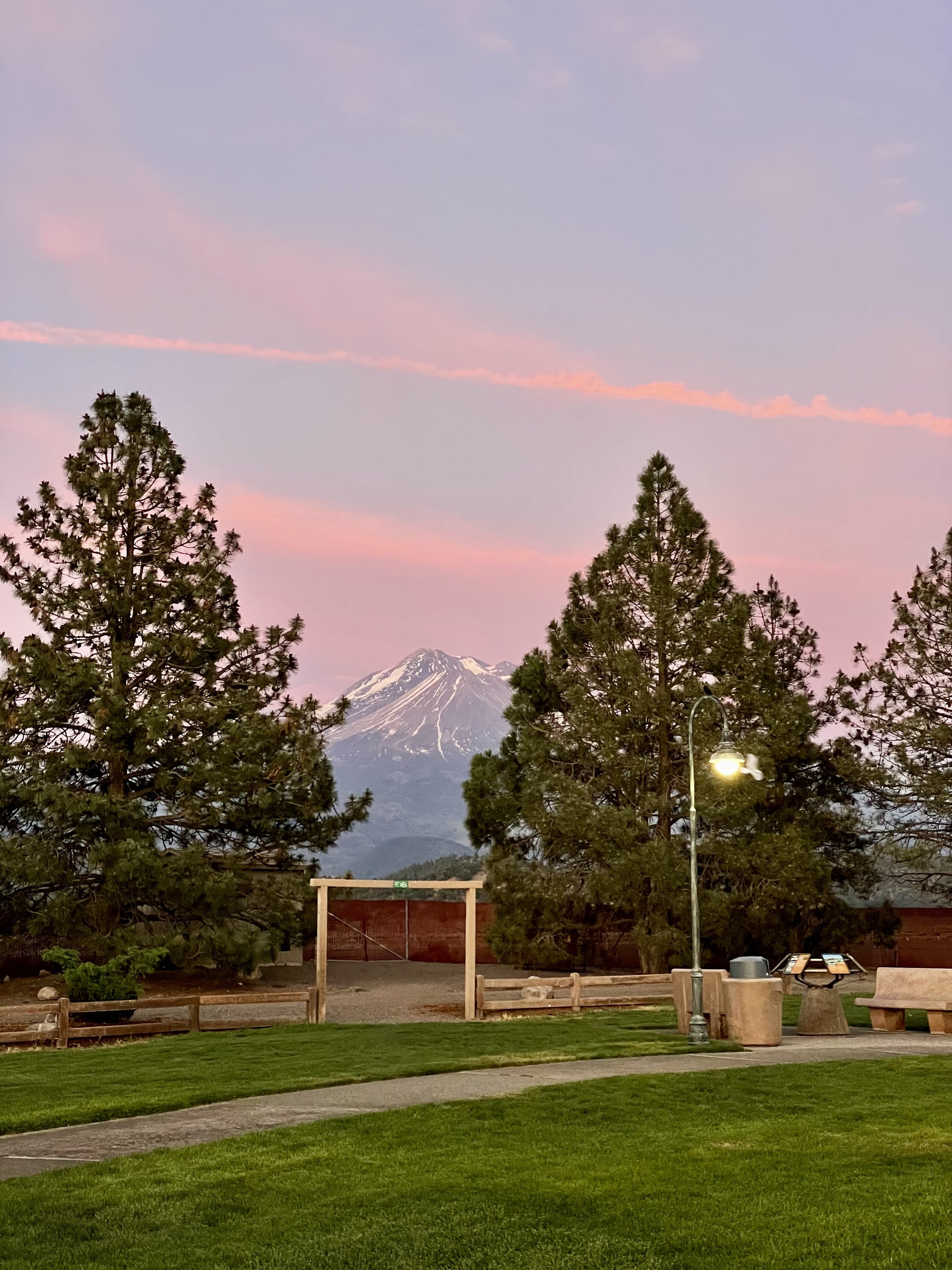
I have boondocked near the McCloud Falls on US Forest land a few years prior, so I headed there with the plan to spend the night nestled among the tall trees. As I was settling in, I noticed that the sky was turning into some great sunset colors, so I decided to chase the sunset instead and headed to Mt Shasta, stopping to capture the golden hour on the mountain. Instead of backtracking to McCloud, I decided to spend the night at the rest stop past Weed near the airport that night.


My next blog post is about Crater Lake National Park, which I went to the next morning!