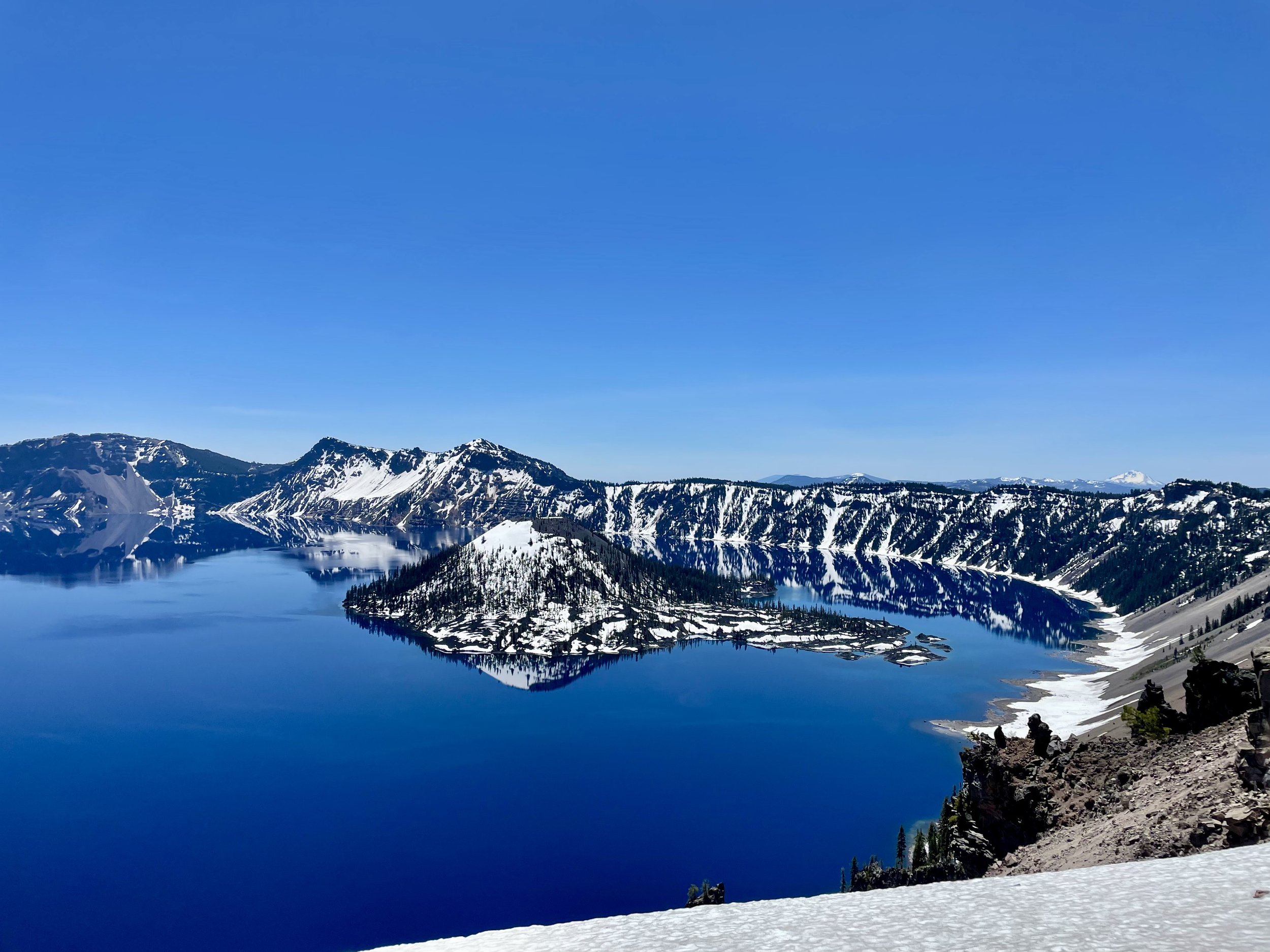
Following my day exploring Lassen and Burney Falls, I left Northern California and headed into Oregon. I decided to check out Crater Lake National Park, which I had only been to once before in 2016 for a brief visit. Formed nearly 8,000 years ago, Crater Lake sits atop Mount Mazama, part of the Cascade Range spanning northern California to southern British Columbia. Mount Mazama’s eruption about 5700 B.C. catapulted volcanic ash miles into the sky and expelled so much pumice and ash that the summit soon collapsed, creating a huge, smoldering caldera. Eventually, rain and snowmelt accumulated in the caldera, forming a lake more than 1,900 feet deep, making it the deepest in the United States. There are many activities one can do around Crater Lake depending on the season. Hiking, backpacking, camping, picnicking and sight seeing are popular pursuits within the park, though there is limited access from October to June. Boating and scenic driving around Rim Drive can be enjoyed by visitors during the summer months. In winter snowshoeing and cross-country skiing provide solitude and a little-known view of the park.
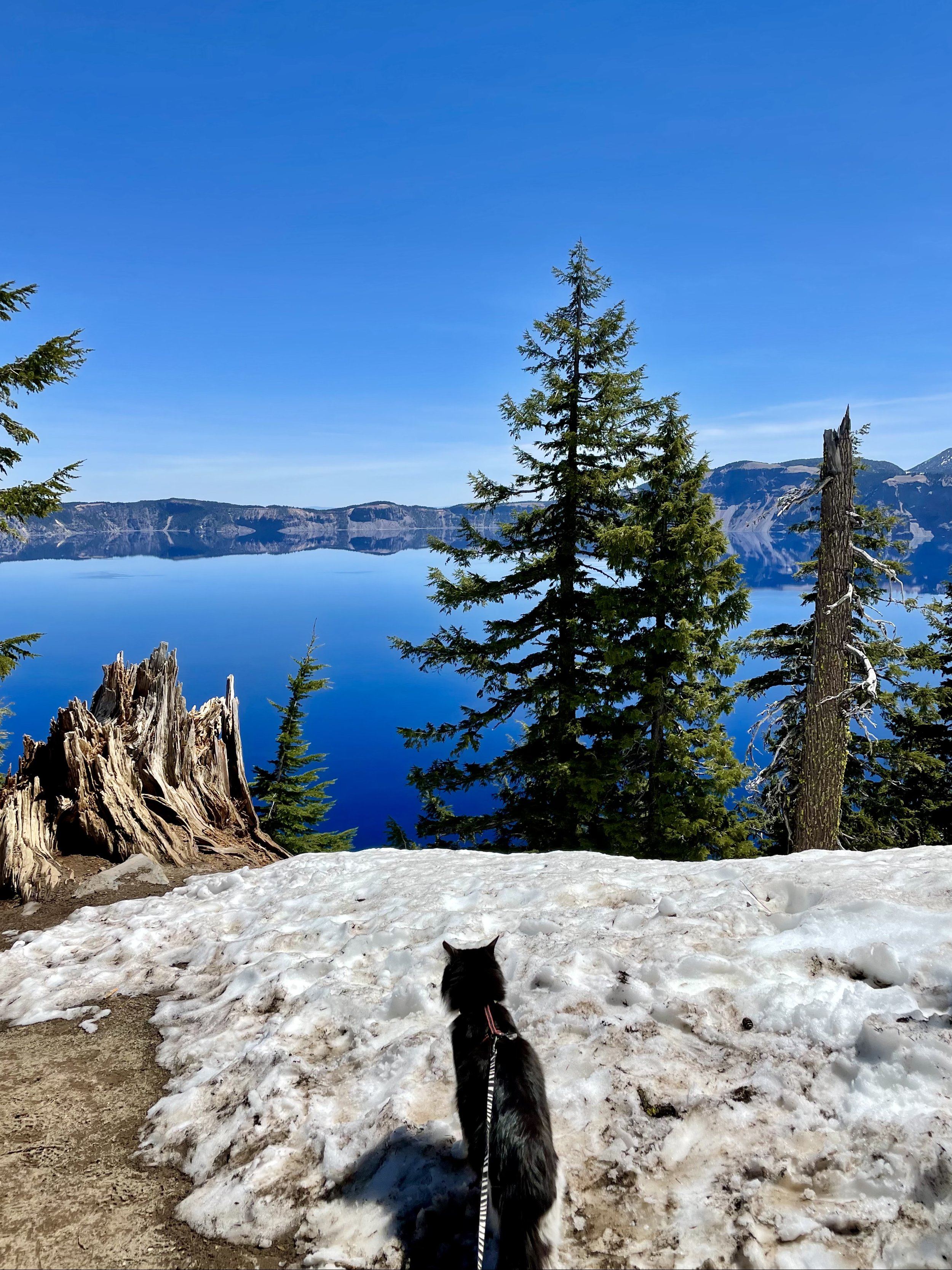
There was still a lot of snow when I arrived on June 1, 2021, therefore, only the West Rim was open while the East Rim was still closed. Since I drove in from the South Entrance, I first stopped along Annie Creek Canyon viewpoints and learned all about fossilized steam events that sculpted the rocky spires in this river valley. Once I arrived at the rim, I stopped at Rim Village and did the self-guided walking tour along the snowy path to admire this incredibly blue, mirror-like lake. I wasn’t prepared for all the snow, but I still trekked through some big piles of snow to get to all the various vista points to soak in the wonderful views. Did you know that Crater Lake is so blue because longer wavelengths of sunlight (red, yellow, and green) are absorbed by water while blue light is not absorbed well? Blue strikes the water and is scattered and redirected back from the lake depths to our eyes. Crater Lake is also known for its unique clarity and purity because it’s only filled with rain and snow melt, no streams empty into it which usually bring the sediments that turn waters cloudy. I also learned about Samuel T. Mather from a commemorative plaque along the rim since “he laid the foundation of the national park service, defining and establishing the policies under which its areas shall be developed and conserved unimpaired for future generations.”
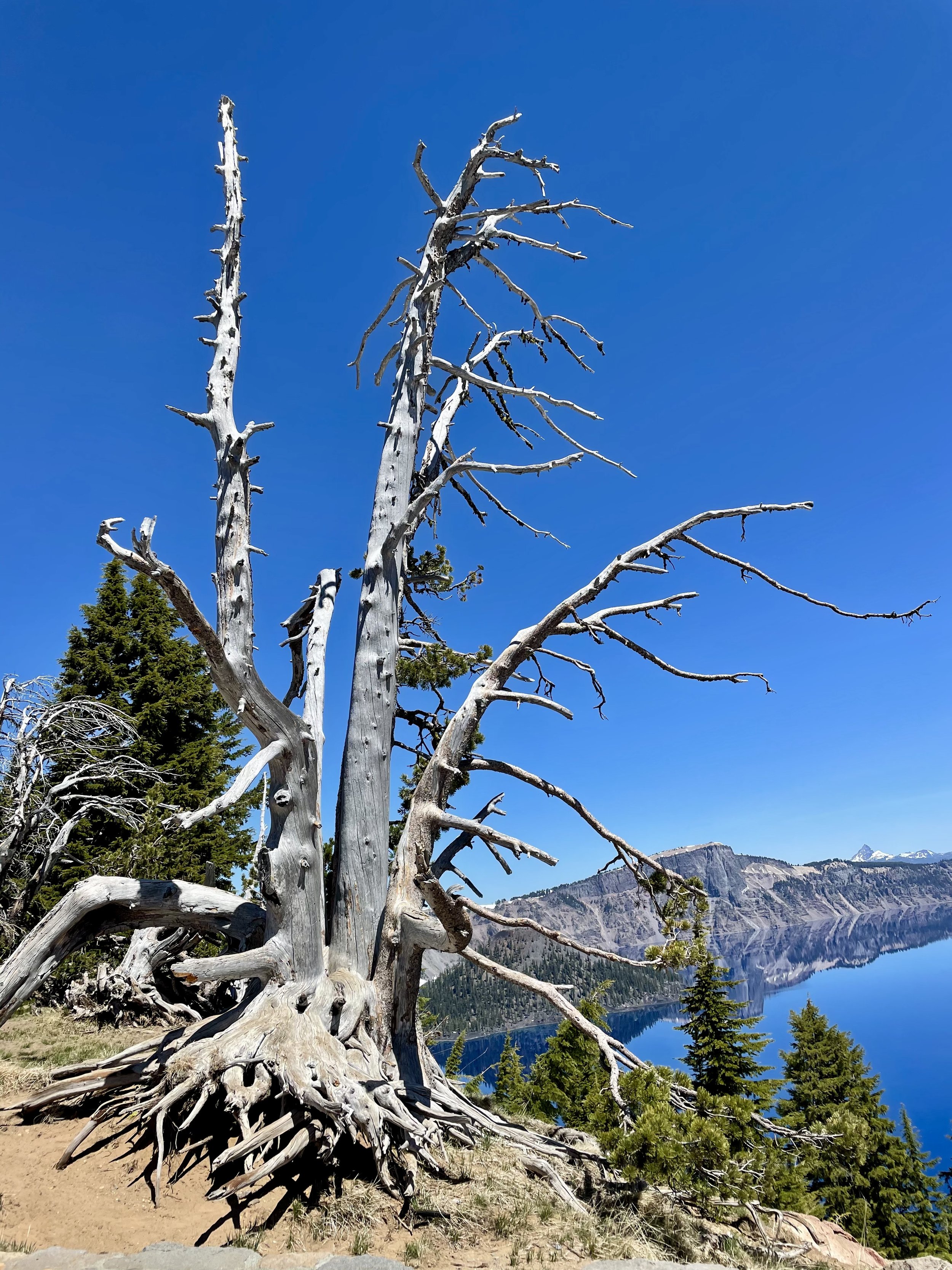
Next, I headed to the Discovery Point Overlook, where gold prospector John Wesley Hillman, who was actually looking for Lost Creek Mine, first spotted Crater Lake in 1853, calling it “Deep Blue Lake.” I also made some stops on the non-lake side of Rim Drive to see the volcanoes and mountains in the distance. I believe they are Mount Shasta, Mount Thielsen, Diamond Peak, Union Peak, and some others in the photos below.
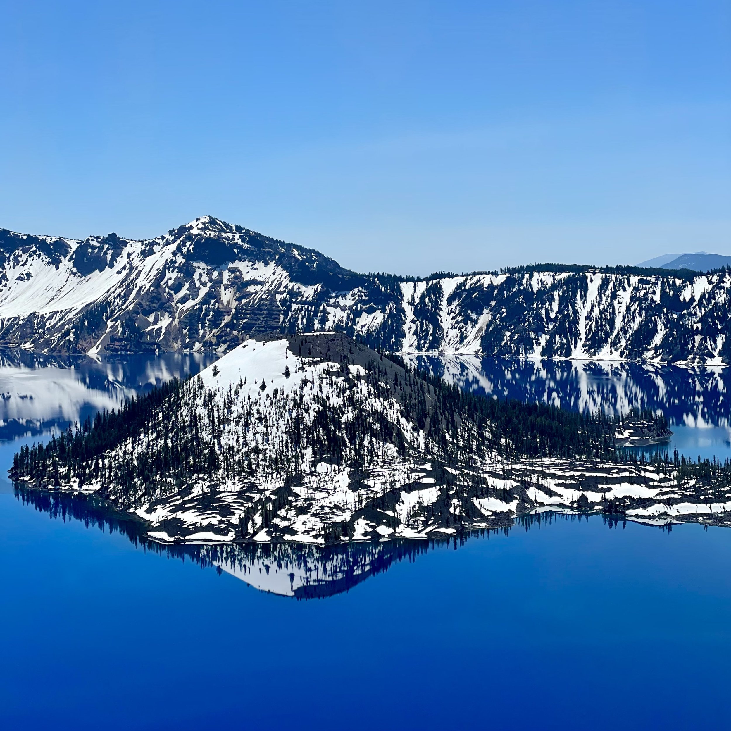
I continued north to Watchman Overlook, another wonderful spot to stop to see a slightly different angle of the lake, though sadly the trail to Watchman Lookout was closed, as most trails were due to the snow. You pass very close to Hillman Peak around this part of Rim Drive, the highest peak on the caldera rim and the second-highest peak in the park. My last stop was Merriam Point Overlook near North Junction where you have the closest view of Wizard Island, which some call the most interesting feature on Crater Lake. It’s also the perfect place to see Llao Rock, Garfield Peak, Mount McLoughlin, and Mount Scott, who’s summit is the highest point in the park. While I was there in 2021, the Bronze Relief Map had not yet been erected at this overlook, but visitors now get to see this tactile map to enhance learning and understanding of the scope of the park and the depth of the lake, especially for kinesthetic learners and people with visual impairments.
Following the cataclysmic caldera-forming eruption of Mount Mazama, which left a hole about 4,000 feet (1,200 m) deep where the mountain had once stood, a series of smaller eruptions over the next several hundred years formed several cinder cones on the caldera floor. The highest of these cones, the only one to rise above the current lake level, is Wizard Island, which rises over 2,700 feet (820 m) above the lowest point on the caldera floor and the deepest point in the lake. One day I really want to experience the Wizard Island Boat Tour and see this 763-foot cinder cone up close. While on Wizard Island, you can hike the 2.2-mile roundtrip Wizard Island Summit Trail which has a path leading to the 90-foot deep crater at the summit. The hardest part of this journey is that you need to hike the Cleetwood Cove Trail to get down to the boat dock, which is very steep and strenuous as it drops approximately 700 feet in 1.1 miles and can take 30-45 minutes to descend, and then you have to hike it back up at the end of the day when you must ascend the 11% grade back to Rim Drive (comparable to climbing 65 flights of stairs). It’s a full day’s trip, but I’m sure it is worth it!
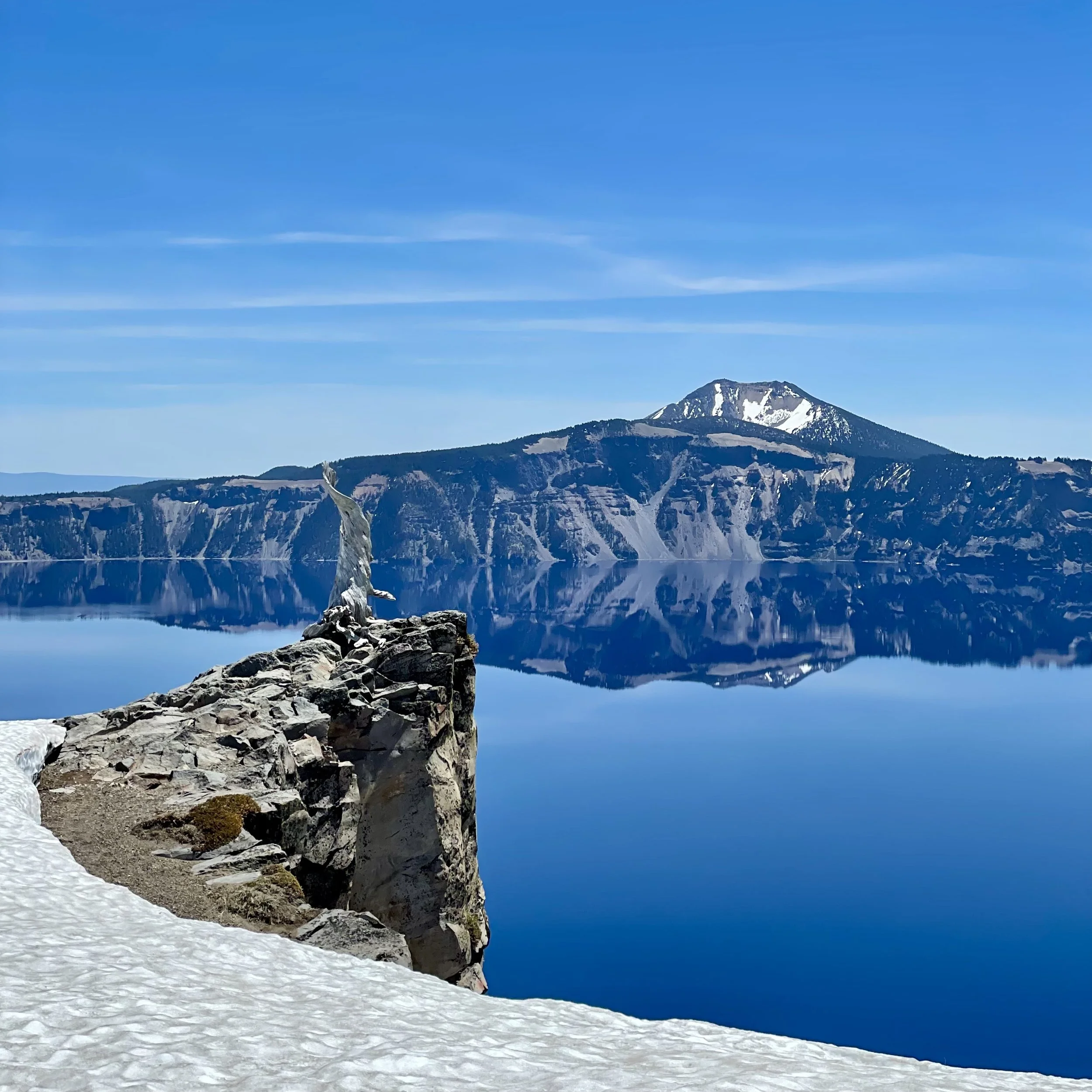
As most of my friends know, I’m 100% a water person and love being in, on, or around water as often as possible. The idea of swimming in Crater Lake sounds beyond amazing to the mermaid inside me and some day I hope to accomplish this feat and tackle that steep hike so that I can jump in. I’ve heard that swimming in the crystal blue waters is quite refreshing on a hot day, though during summer the average surface temperature of the lake is only 57 degrees F (14 degrees C). If you ever decide to make the trek down to the water, be sure to follow the rules as only bathing suits and basic clothing may be worn in the water to protect the clarity of the lake and decrease the possibility of introducing invasive species. Do NOT bring or use scuba and snorkeling gear, wet suits, masks, goggles, fins, inner tubes or any towable devices, kayaks, canoes, paddle boards and any motorized or non-motorized boats, inflatable rafts, flotation devices, personal life jackets or vests, nor waders. The park also recommends to have warm, dry clothing available to immediately put on after being in the lake. Swimming is only allowed within 100 yards of Cleetwood Cove and within 100 yards of Wizard Island, provided that swimmers remain at least 50 feet away from any boat, boat dock or buoy. Doesn’t this photo just beg you to jump in!!!
After my time at Crater Lake, I continued my trip through Oregon on my way home. Up next is the waterfall hikes I did in the Umpqua National Forest!

