While I was in California celebrating my Golden Birthday in 2021, I had the opportunity to visit Yosemite National Park for the day and then head to an amazing event venue in the Sierra Foothills that a vanlife friend told me about a few years earlier.
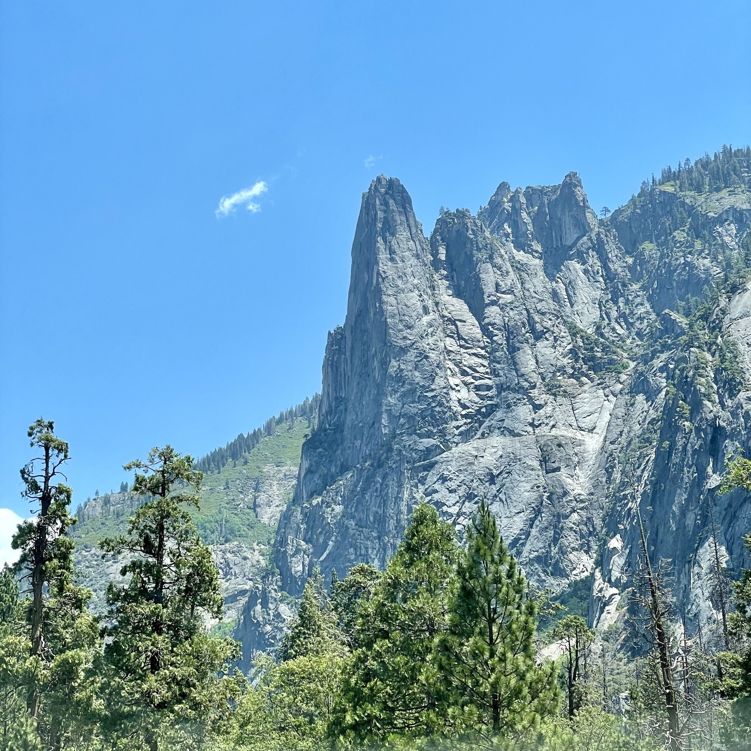
I left Pinecrest on June 28 and drove two hours to Yosemite National Park, which I haven’t been to since I was in high school. It was a beautiful and sunny day and I enjoyed the views along California SR-120 on my drive, also known as Tioga Pass. Since I always get the America Is Beautiful National Parks Pass every year, I was able to secure a day pass for Yosemite as the park does require reservations from April to October. Driving into Yosemite Valley, a glacier carved valley in the western Sierra Nevada mountain range, you promptly get surrounded by towering granite summits and a dense forest of pines, with well-known landmarks gracing your vision. The valley is drained by the Merced River and a multitude of streams and waterfalls flow into it, including Tenaya, Illilouette, Yosemite and Bridalveil Creeks. I took my time driving around the loop through the valley, stopping at various spots to immerse myself in the spectacular views.
Upon entering the valley, you immediately get hit by undeniable presence of El Capitan, a granite monolith that's about 3,000 feet (914 m) from base to summit along its tallest face. El Capitan is composed almost entirely of a pale, coarse-grained granite approximately 100 MYA (million years old) and is a world-famous location for big wall climbing, including the disciplines of aid climbing, free climbing, and more recently for free solo climbing. El Capitán ("the captain", "the chief") was taken to be a loose Spanish translation of the local Native American name for the cliff,.“
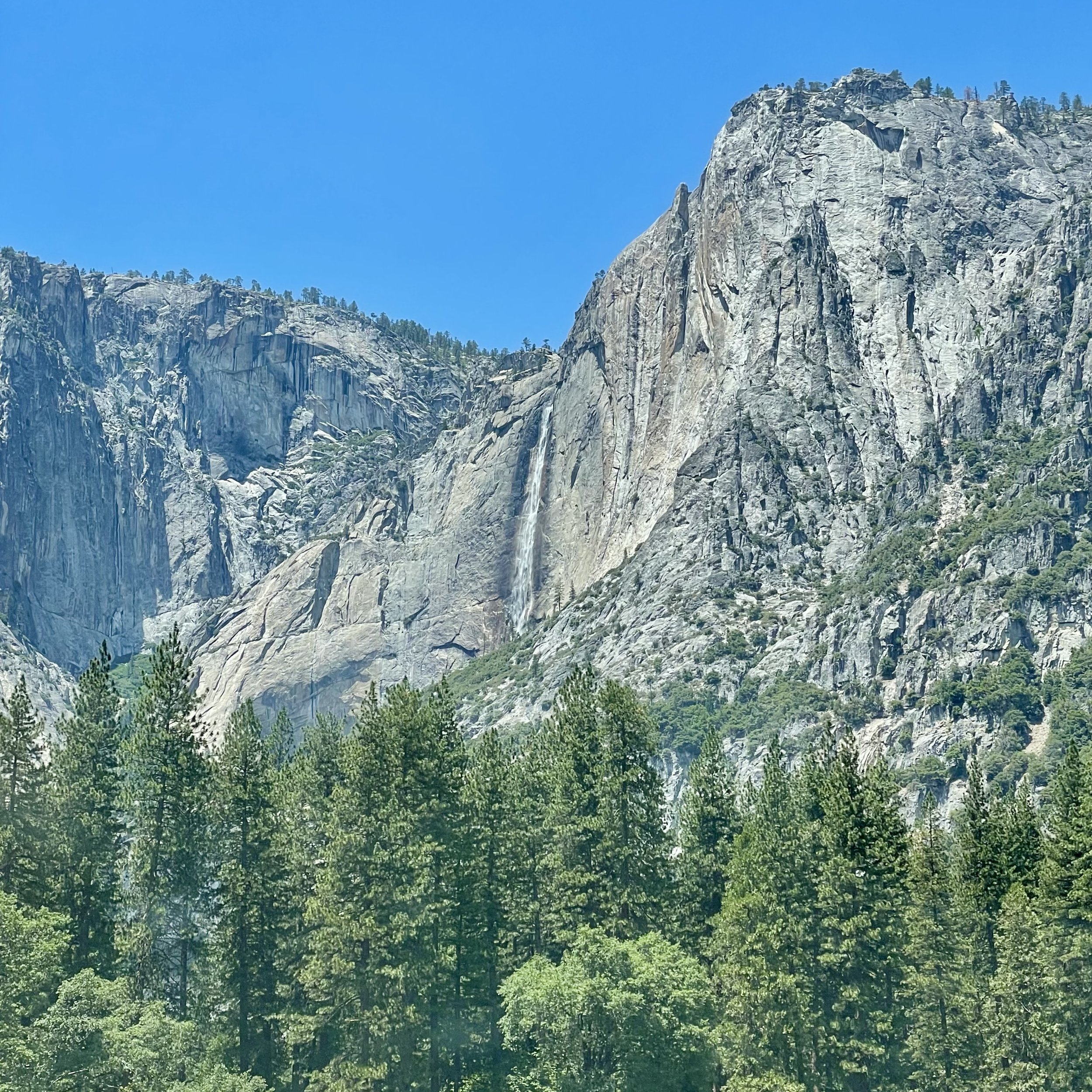
My next incredible view was of Yosemite Falls, the highest waterfall in North America, dropping a total of 2,425 feet (739 m) from the top of the upper fall to the base of the lower fall. Yosemite Falls is actually made up of three separate falls: Upper Yosemite Fall (1,430 feet), the Middle Cascades (675 feet), and Lower Yosemite Fall (320 feet). When I was 15, I hiked the falls to the halfway point with my high school adventure club. I’m not in hiking shape anymore, so I enjoyed the view from the valley floor, happy that the water flow is at its peak in the Spring. The Ahwahneechee people, the native people of Yosemite Valley, called the waterfall "Cholock" ("the fall") and believed that the plunge pool at its base was inhabited by the spirits of several witches, called the "Poloti.
At the end of the valley loop is the famed rock formation of Half Dome, a batholith named for its distinct shape. One side is a sheer face while the other three sides are smooth and round, making it appear like a dome cut in half. It stands at nearly 8,800 feet above sea level and is composed of quartz monzonite, an igneous rock that solidified several thousand feet within the Earth. At its core are the remains of a magma chamber that cooled slowly and crystallized beneath the Earth's surface, which was then exposed and cut in half by erosion, leading to its current shape. Originally named “Tis-sa-ack,” an Ahwahnechee phrase for Cleft Rock, Half Dome has been the home to many famous ascents, including the first known ascent by George Anderson in 1875, who drilled holes into the smooth granite to scale the rock’s face.
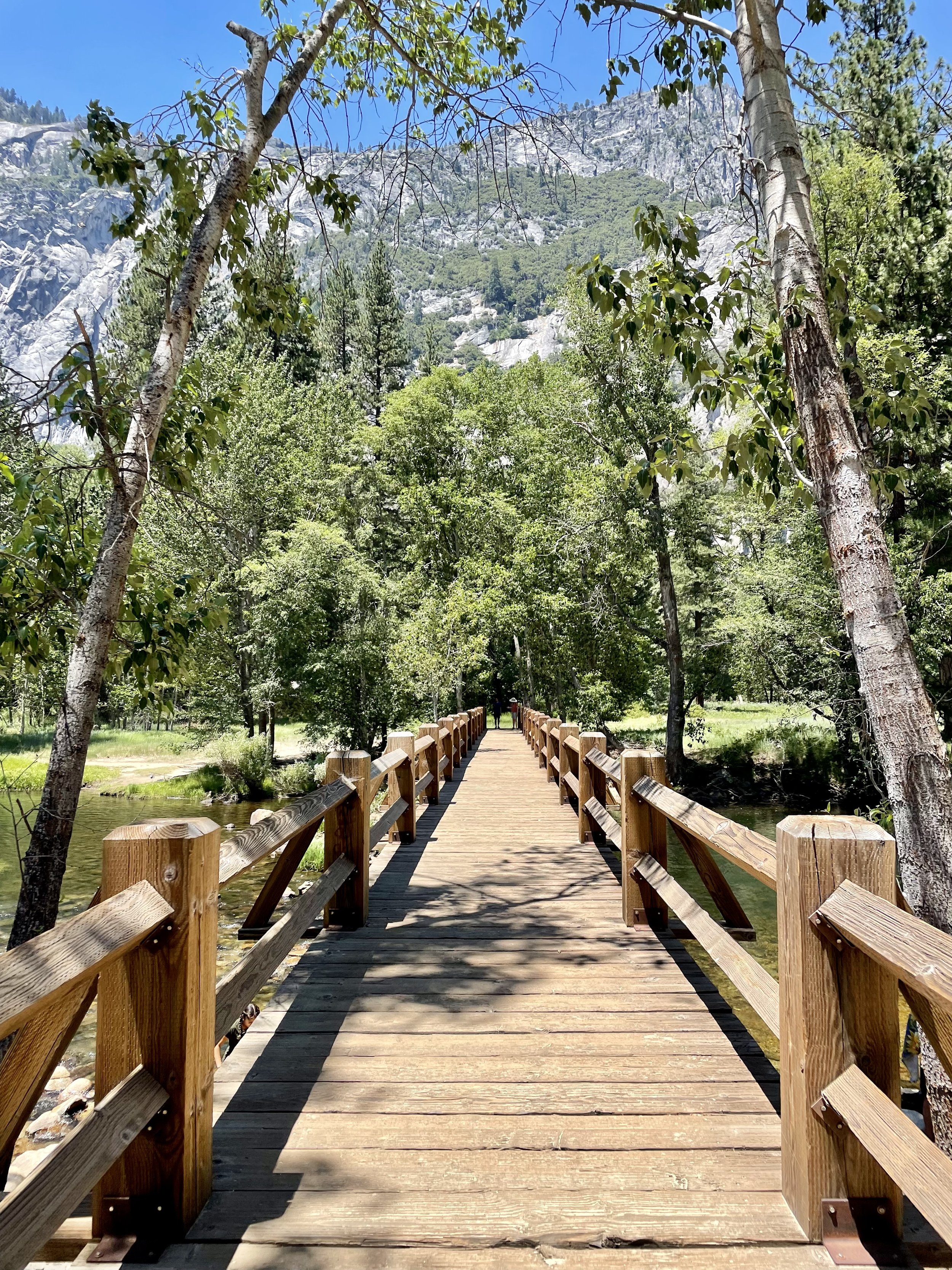
It was such a beautiful day that I made a few stops along the Merced River to walk the trail. The Merced River first formed as the Sierra Nevada rose about 10 million years ago, and sediment eroded from its canyon helped form the flat floor of the San Joaquin Valley. Glaciation during the ice ages carved the high elevation parts of the watershed, including Yosemite Valley, into their present shape. Many Native American tribes have lived on the Merced River including the Miwok, Paiute, and Ahwahneechee. In the early 19th century, military expeditions sent by Spanish colonists from coastal California traveled into the Central Valley, and on one of these trips, headed by lieutenant Gabriel Moraga, the colonists arrived on the south bank of the Merced River thirsty and low on provisions. They named the river Rio de Nuestra Señora de la Merced (River of Our Lady of Mercy) because it provided much needed water. I definitely recommend walking around, checking out the Superintendent's Bridge, the Sentinel Bridge, and other bridges to take in all the views, and even taking a dip into the river while you’re visiting.
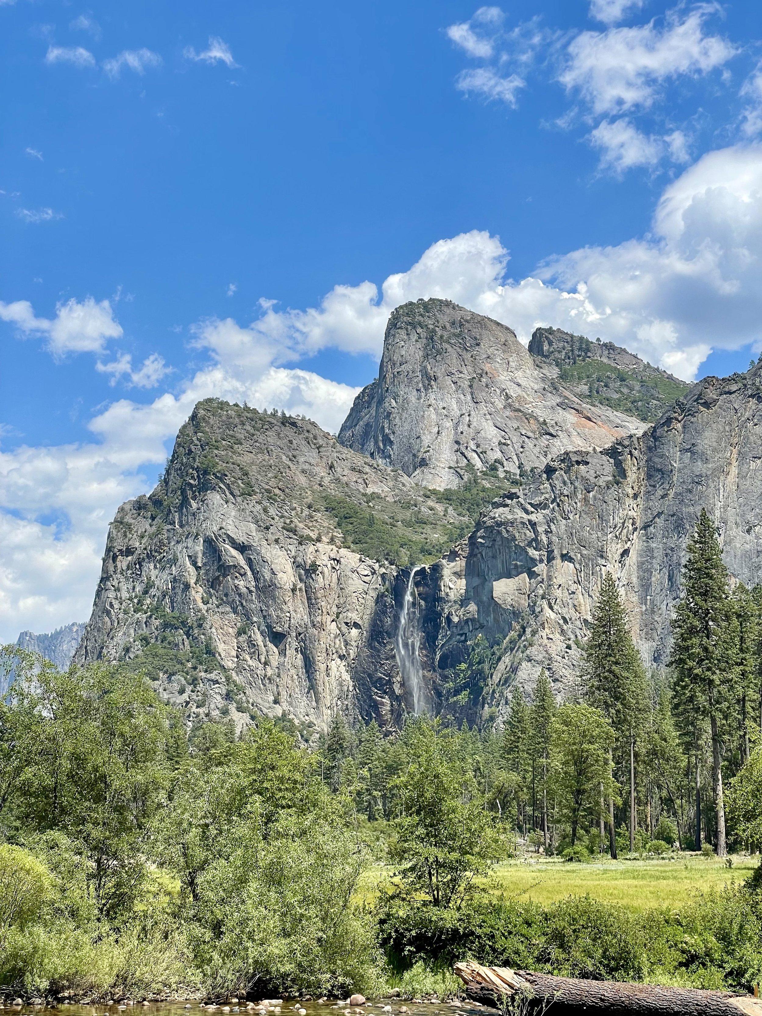
Another unforgettable view is that of Bridalveil Fall, which is 617 ft (188 m) in height and flows year round. While most of the falls in Yosemite are spawned by the glacier carved hanging valleys pouring the waterways into steep cascades, the primary source of Bridalveil Fall is Ostrander Lake, some 9.9 miles (16 km) to the south. In a brisk wind, the falling water is often blown sideways, and when the flow is light, it may not reach the ground directly below. Because of this, the Ahwahneechee Native Americans called this waterfall "Pohono", which means "Spirit of the Puffing Wind". As you can see in my photos, the wind definitely blew the top of the fall like a fan while the rest cascaded down the rocks to the bottom.
Since I entered the park through the north entrance, I didn’t experience the spectacular Tunnel View until I worked my way out on the south end, stopping at the vista point east of the Wawona Tunnel portal. The area was full of tourists taking in the view that Ansel Adams made famous. Luckily I found a parking spot and joined my fellow sightseers in capturing this unforgettable view of Yosemite Valley that features the southwest face of El Capitan on the left, Half Dome on axis, and Bridalveil Fall on the right.
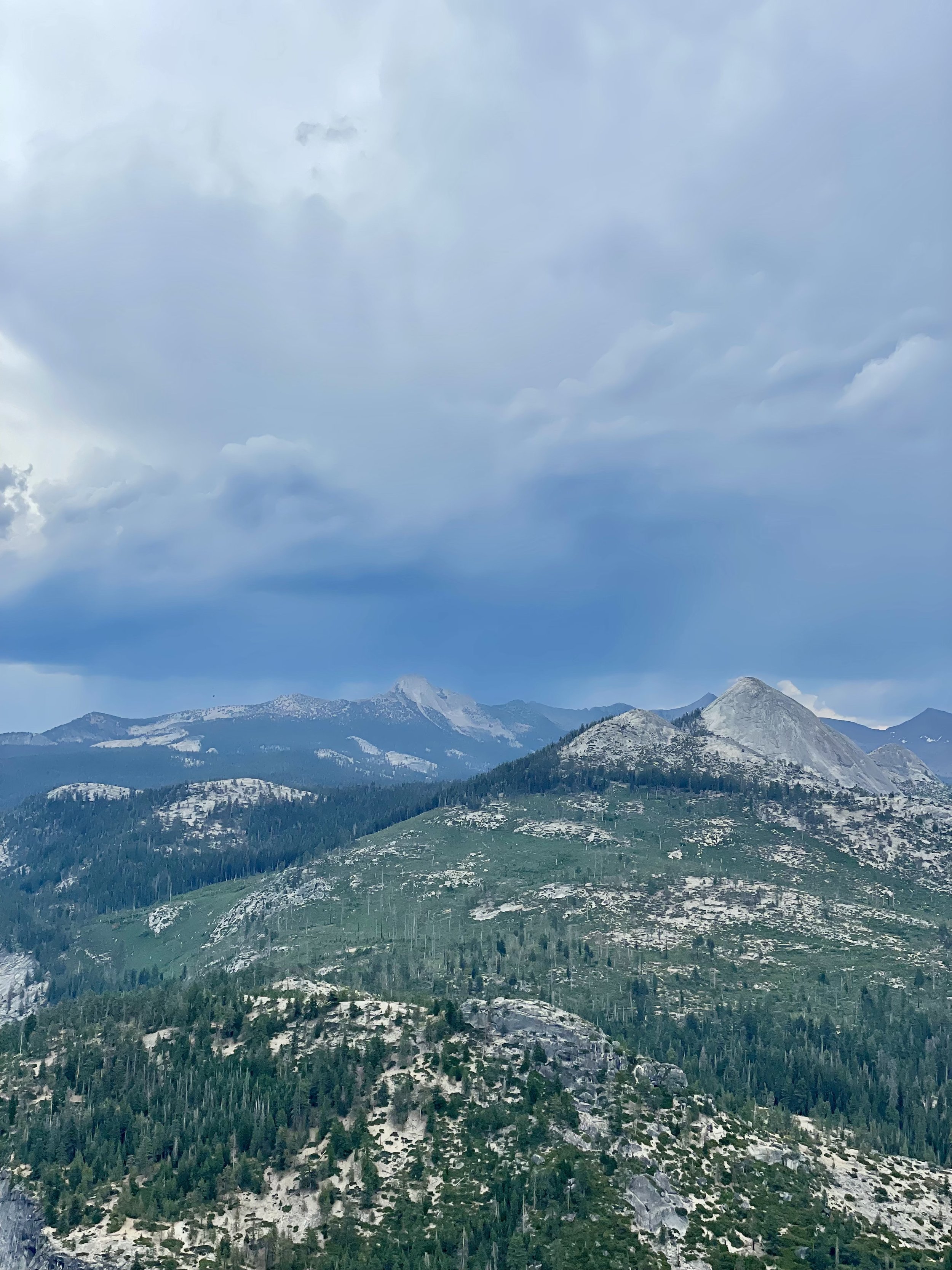
Next up was driving up the south wall to check out the overlooks with commanding views of the valley below via Glacier Point Road. My first stop was Washburn Point where one has the perfect side angle view of Half Dome, without seeing any of its face, as well as the stunning view of the “giant staircase,” the cliff wall containing Nevada Fall and Vernal Fall, with Mount Broderick and Liberty Cap watching over the falls. The afternoon clouds were turning a bit moody in shades blue and gray, lending an ominous feel to the landscape, with hints of sunny clouds in the distance. It almost felt like there was a storm brewing, casting a shadow over the panoramic view.
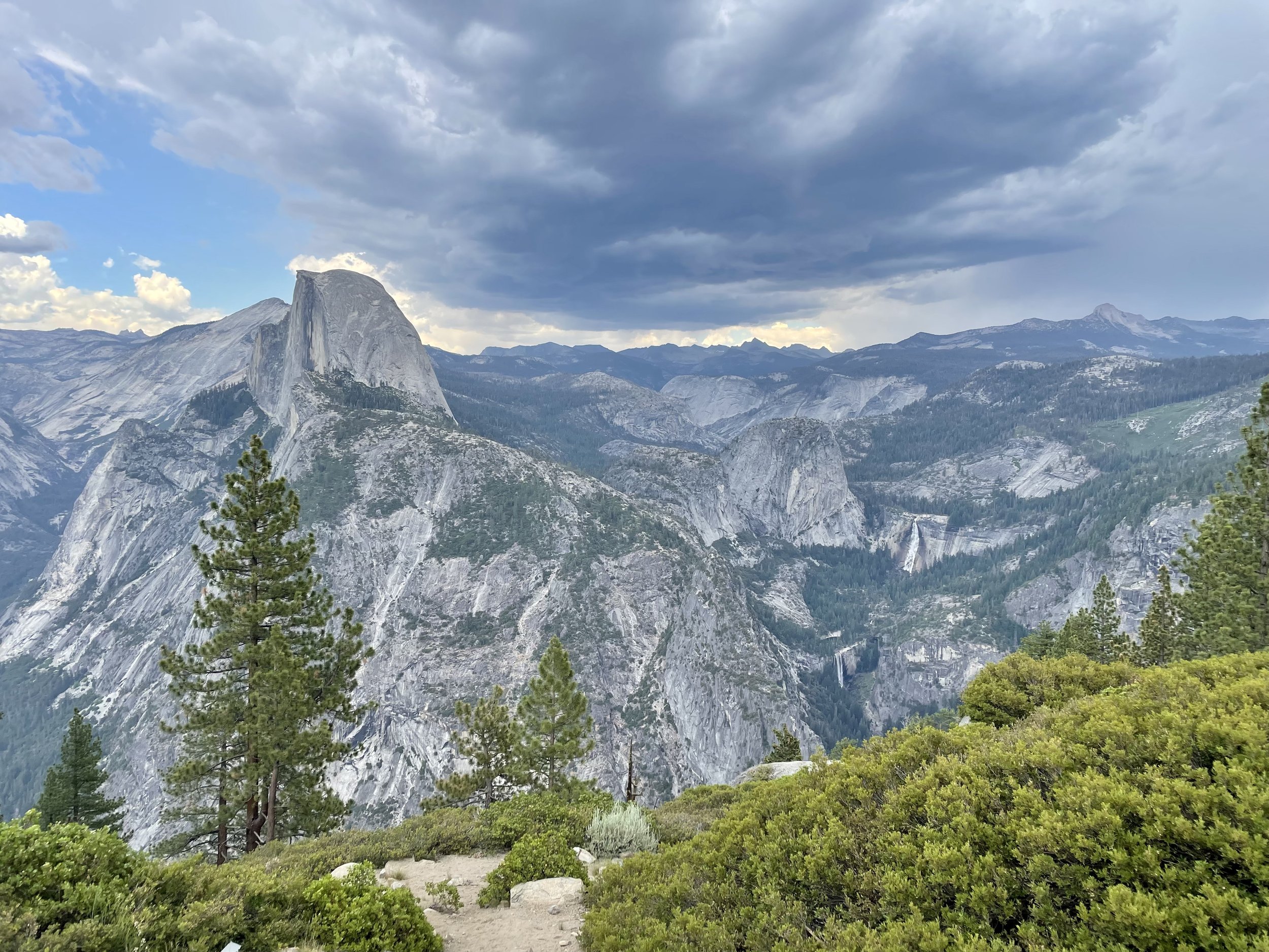
Then I headed to Glacier Point, a world-renowned overlook that gives visitors a grand view of the valley from above and a captivating vista of the park's southeastern high peaks. Glacier Point is located on the south wall of Yosemite Valley at an elevation of 7,214 feet (2,199 m). I recommend walking the whole viewpoint to get different glimpses of all the sights, including a more angled view of Half Dome with its face, as well as the giant staircase of falls, and Clouds Rest, a massive granite formation just northeast of Half Dome.
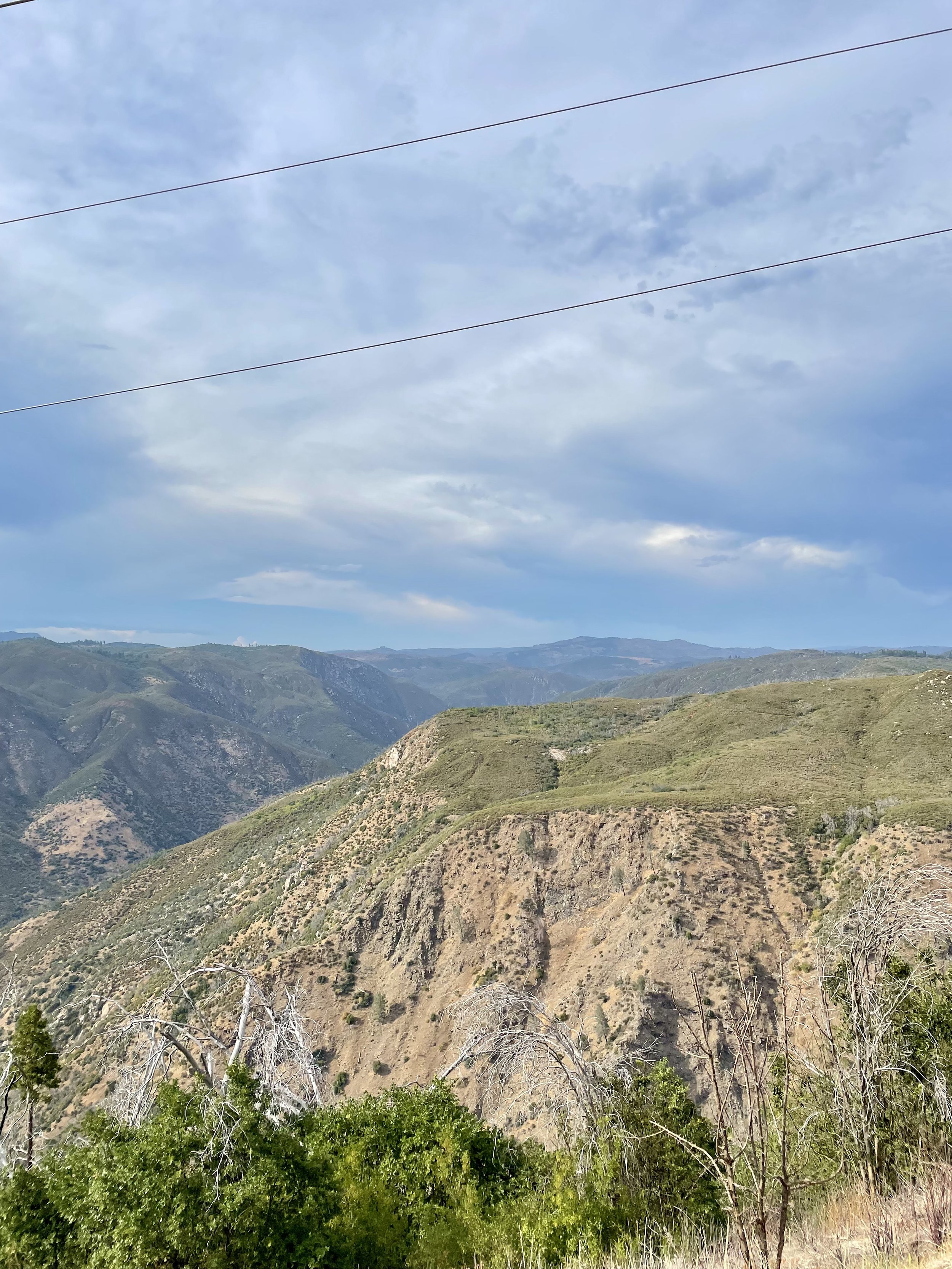
As I left Yosemite and drove east towards Groveland, I happened to drive by the Stanislaus National Forest vista point named “Rim of the World” so I stopped at the roadside pullout to take in the view. It overlooks the deep canyon of the Tuolumne River with the Sierra peaks in the distance, though the view is partially obstructed by power lines. It’s definitely worth pulling over to soak in a breath-taking, panoramic view, but you’ll also notice the scars of the devastation of the “Rim Fire,” a forest fire that hit the place in August 2013, the third-largest wildfire in California's recorded history and the largest recorded in the Sierra Nevada at the time.
Seeing Yosemite as an adult was beyond my expectations. It’s one of the most popular national parks with photos inundating the internet, but unless you experience it in person, you will never fully understand the awe and amazement of this incredible glacier carved wonder! Stay tuned for my next post about a ranch near Coulterville that’s available for hosting various events.


